15. Into Northern Ireland

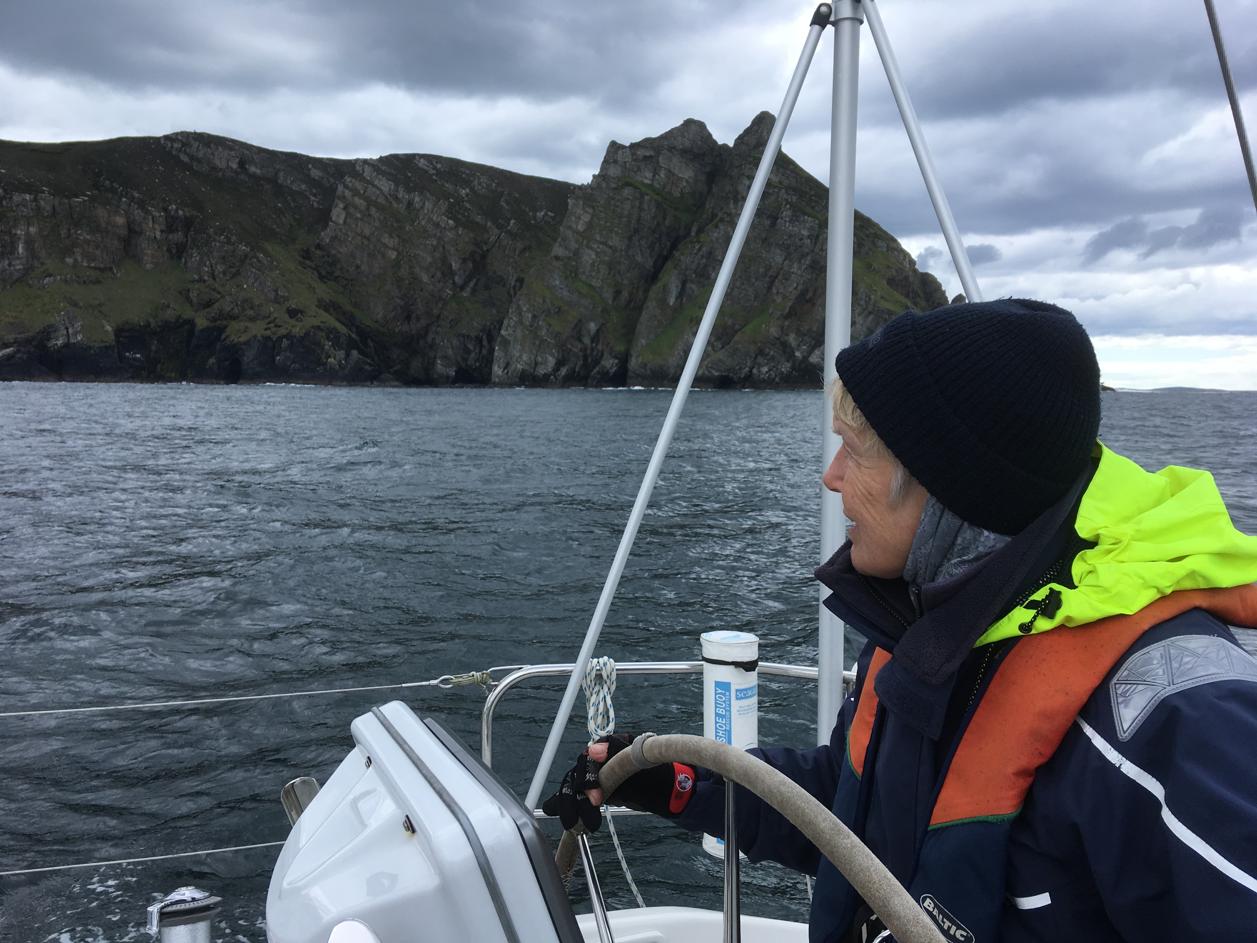
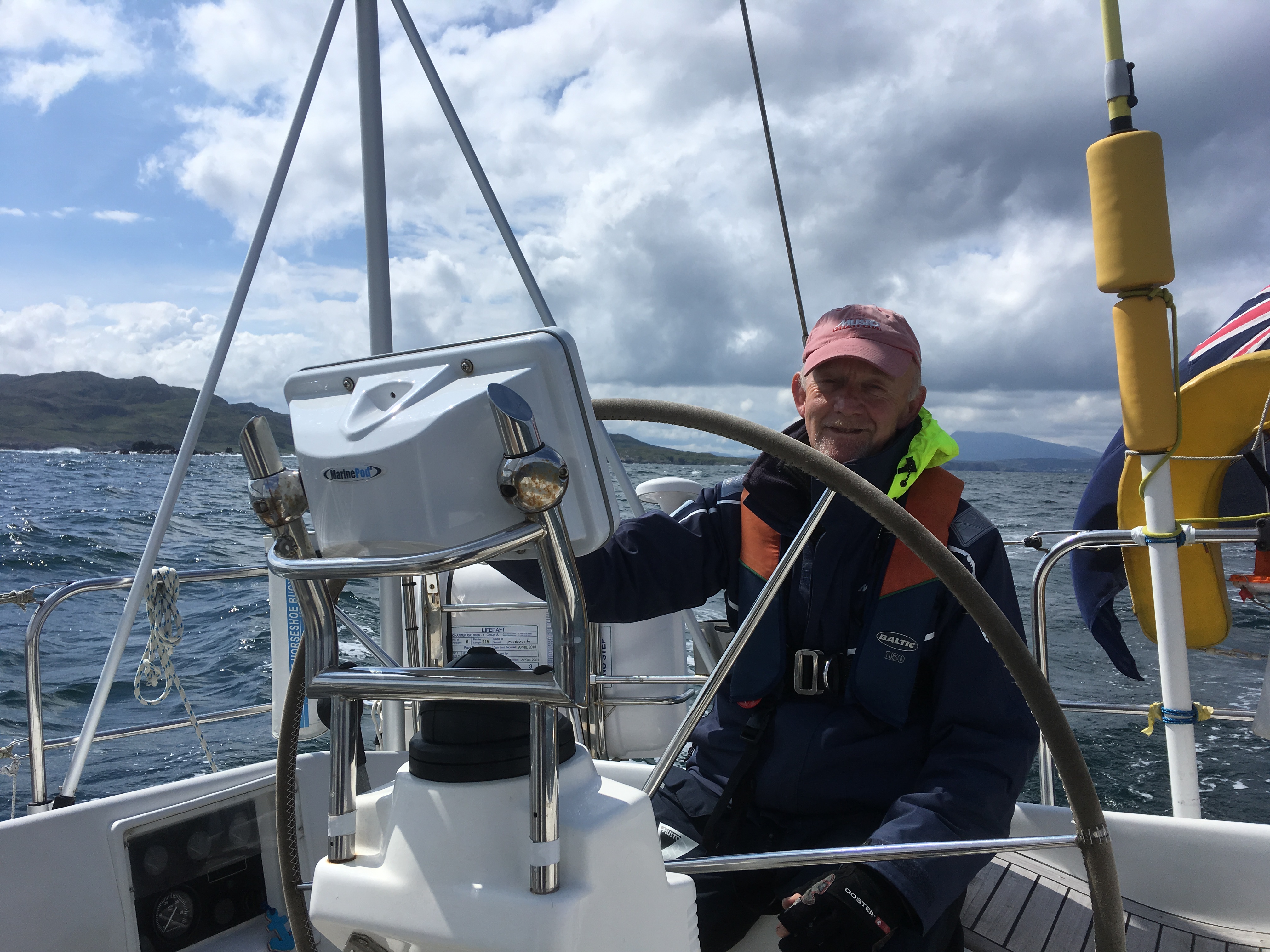
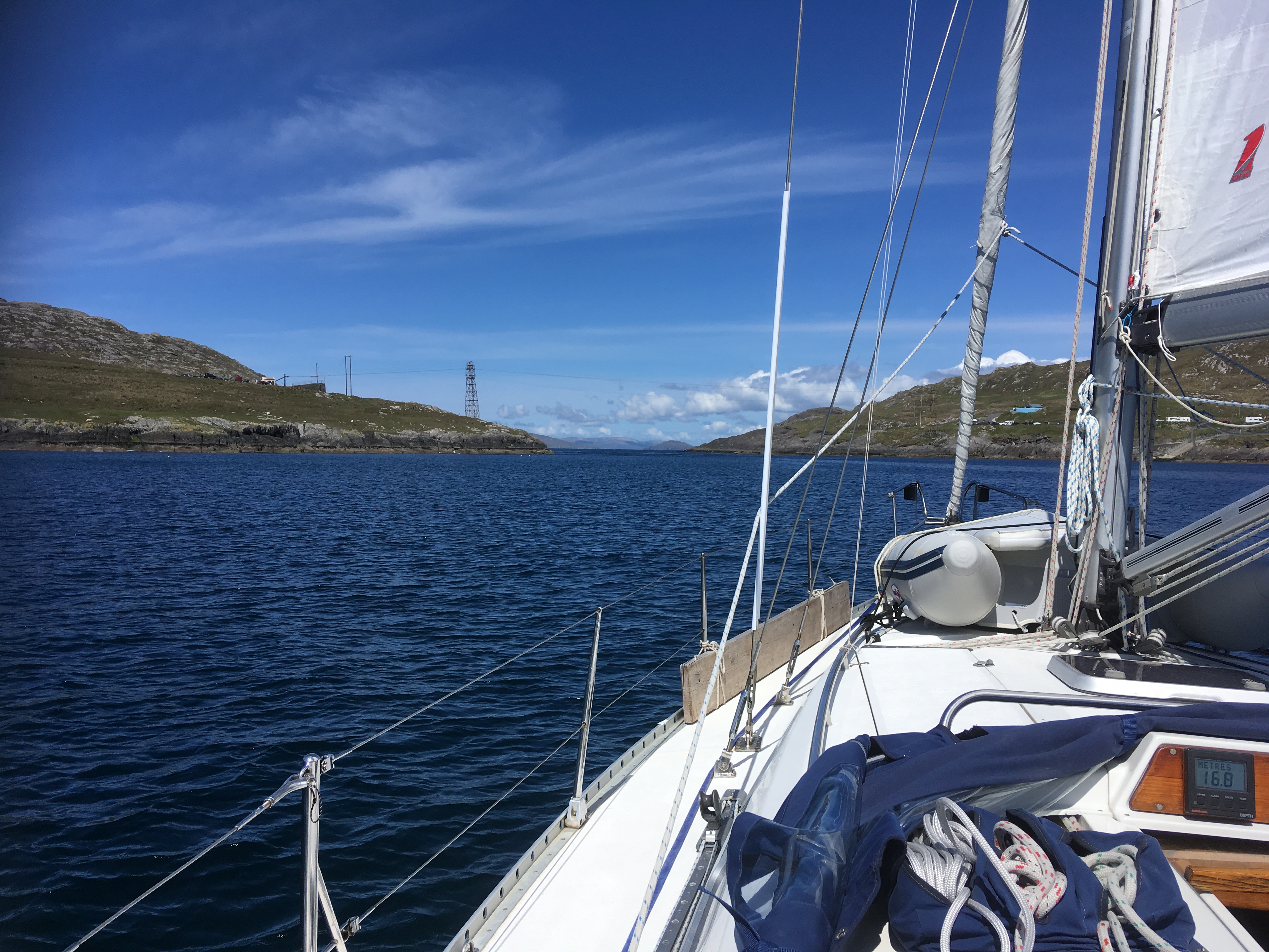
Sunday morning worked to plan.  We needed the engine occasionally to keep our speed up against the last of the flood in Lough Swilly but most of the time we could sail.  Outside the Lough the wind teased us, gusting to 20 knots then dying away so again we needed occasional engine.  Approaching Malin Head the tide got stronger until we were doing over 8 knots over the ground.

Rounding Malin Head

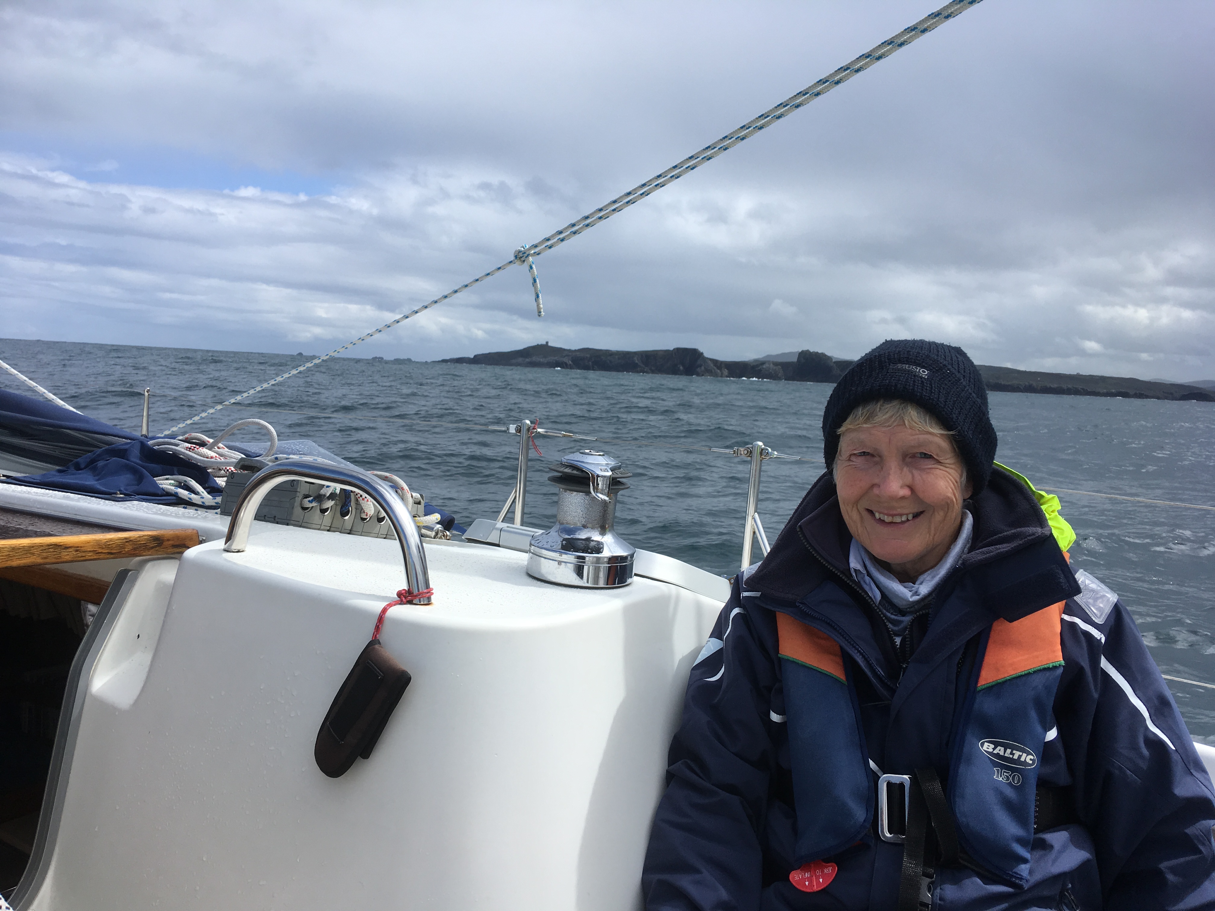
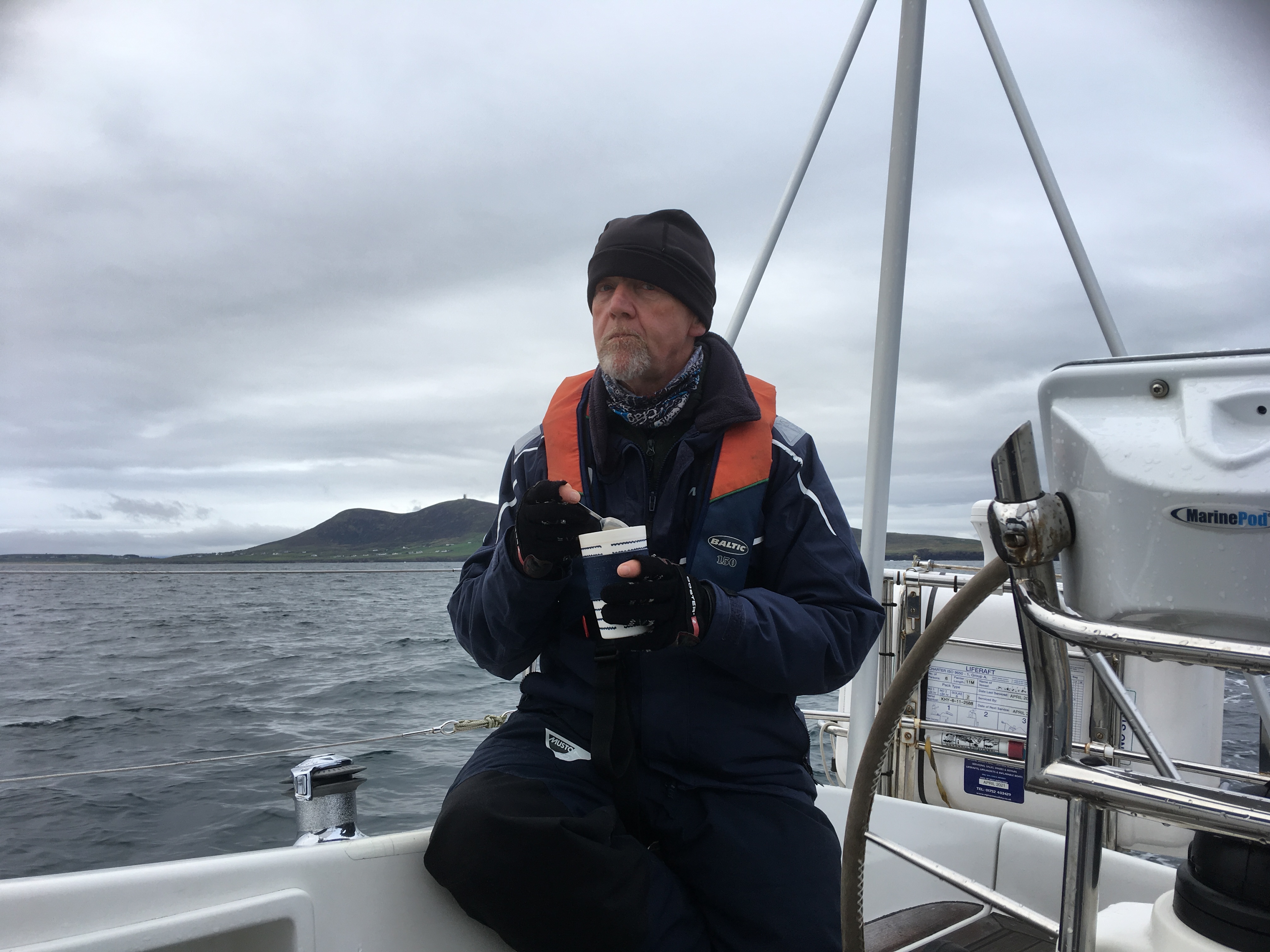
The apparent wind died away so the genoa was furled, the motor was on for the rest of the passage.  Heavy rain showers meant that we took alternate watches on deck so we didn’t both get wet at the same time.

Rain squall catching us up

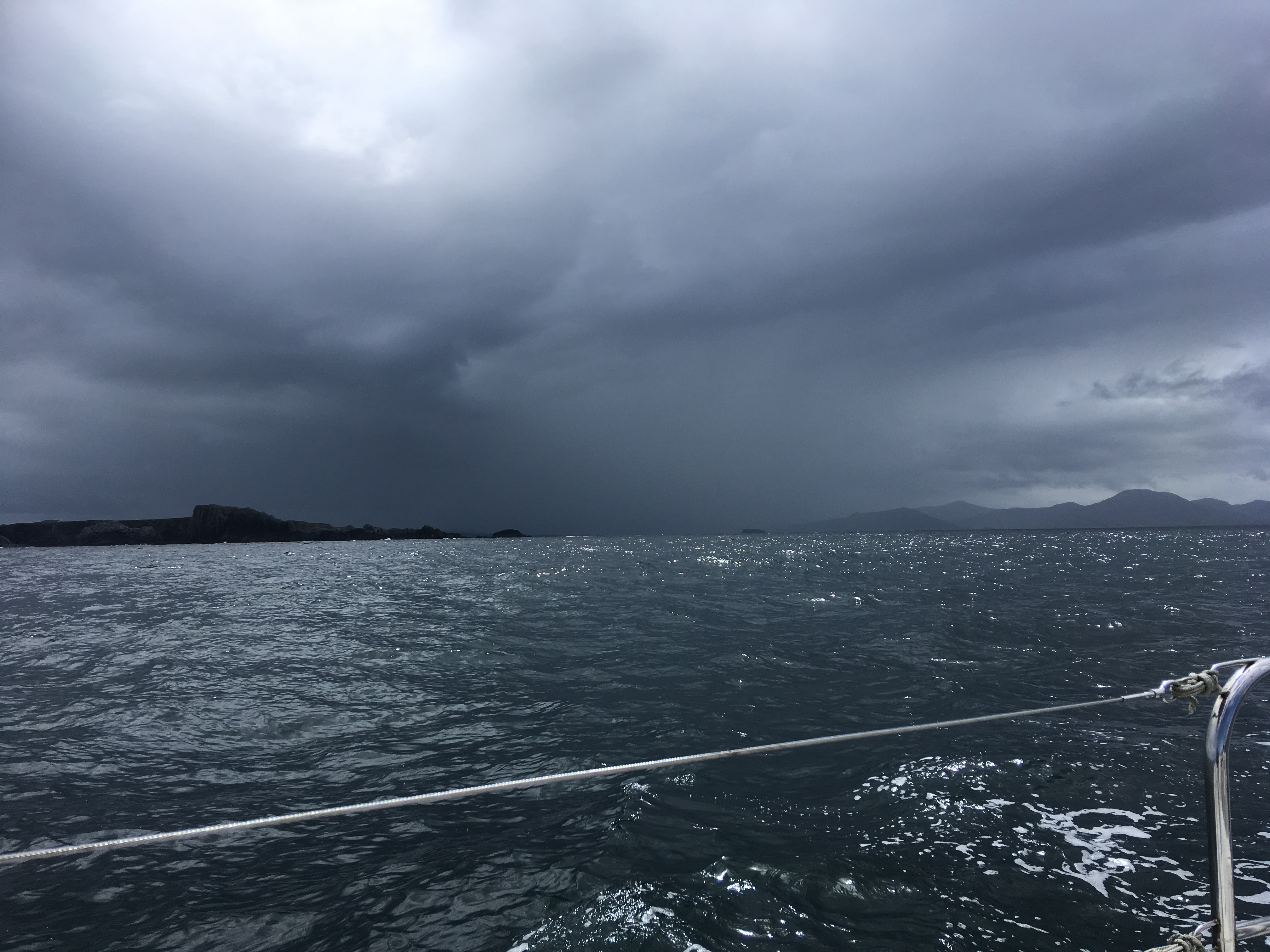
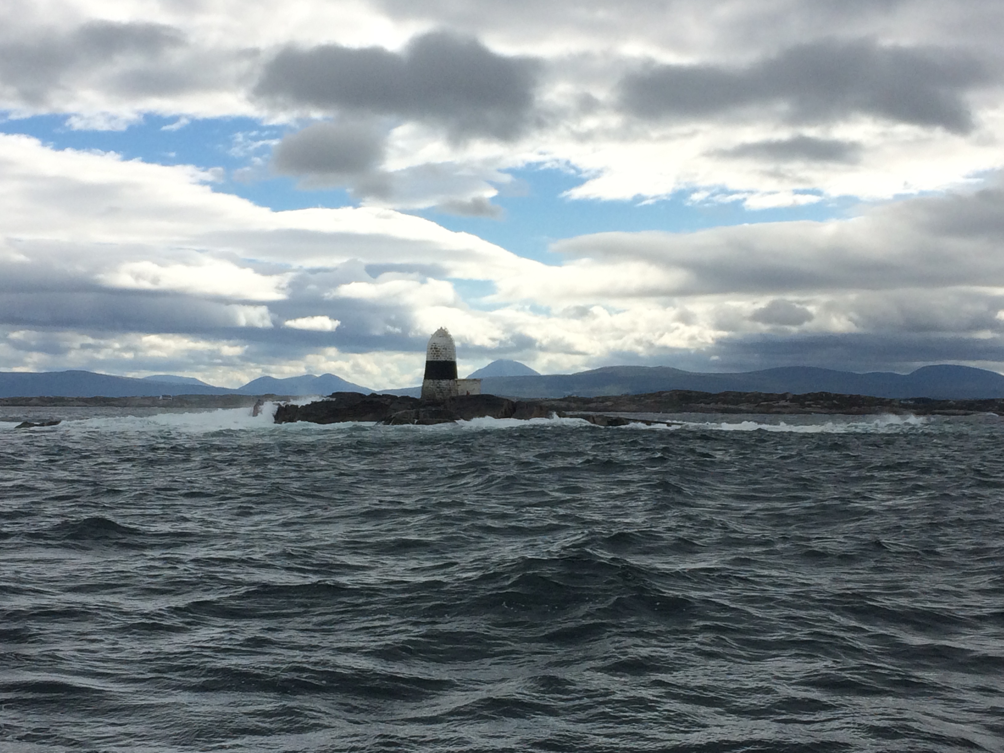
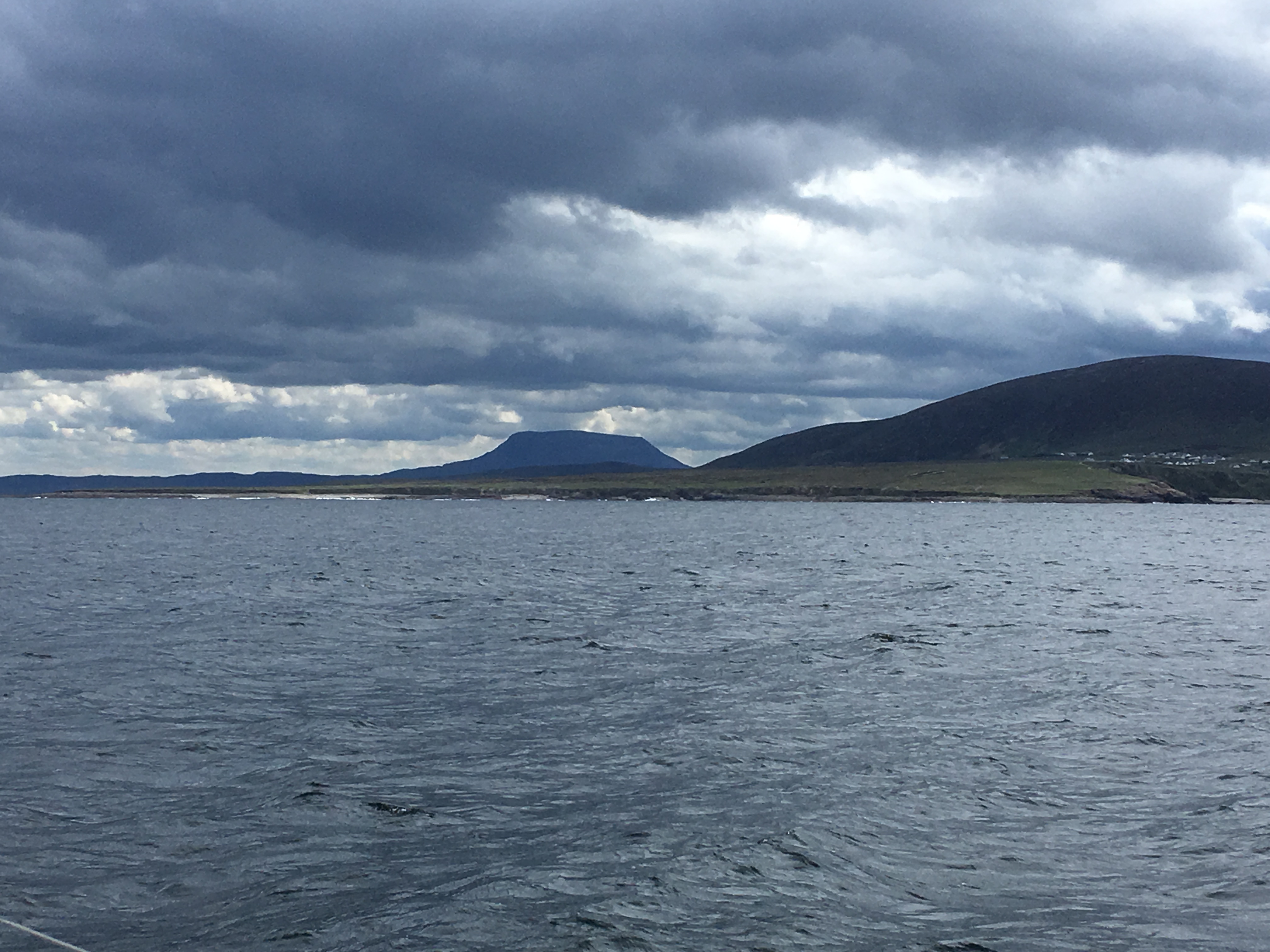
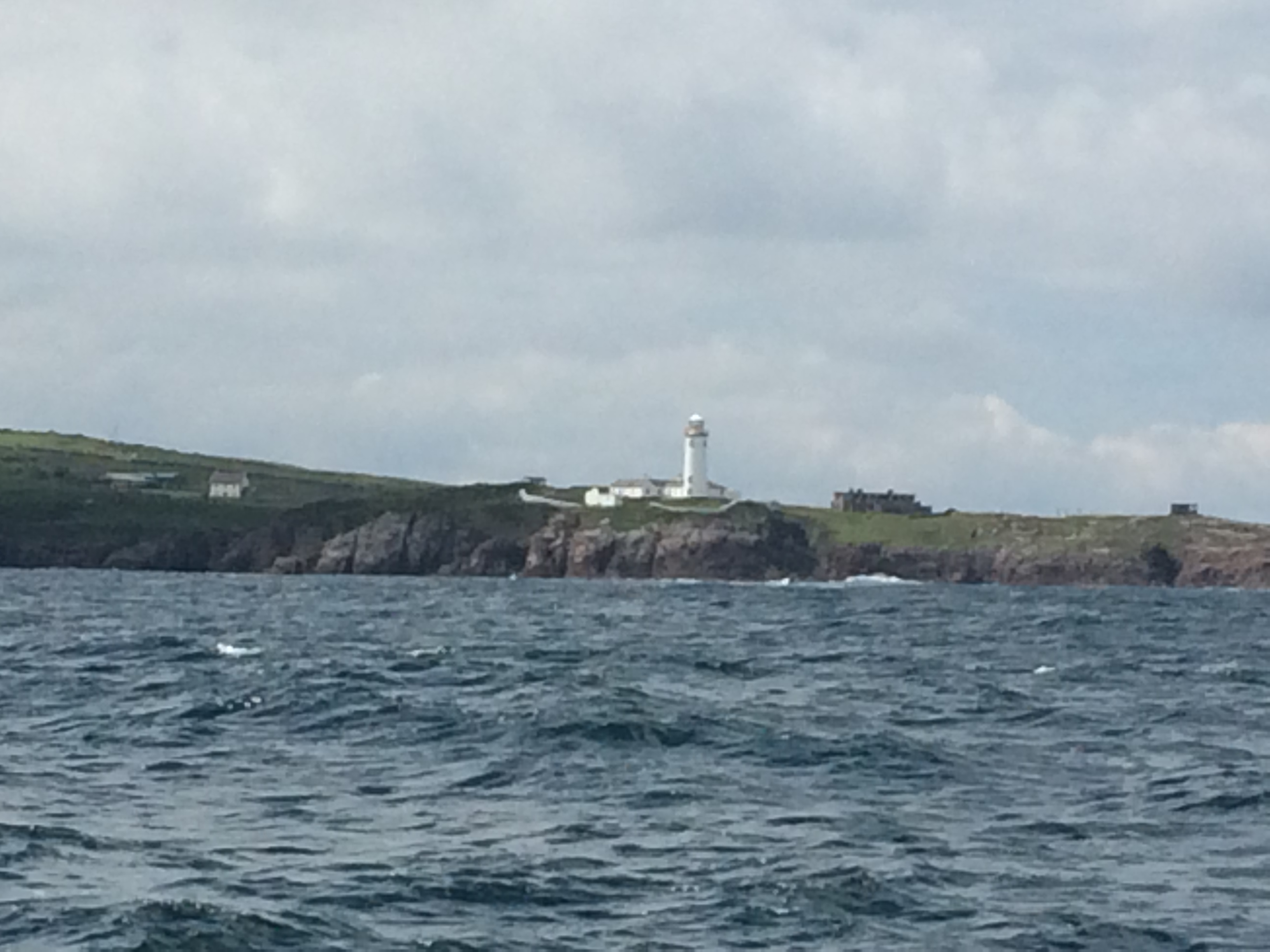
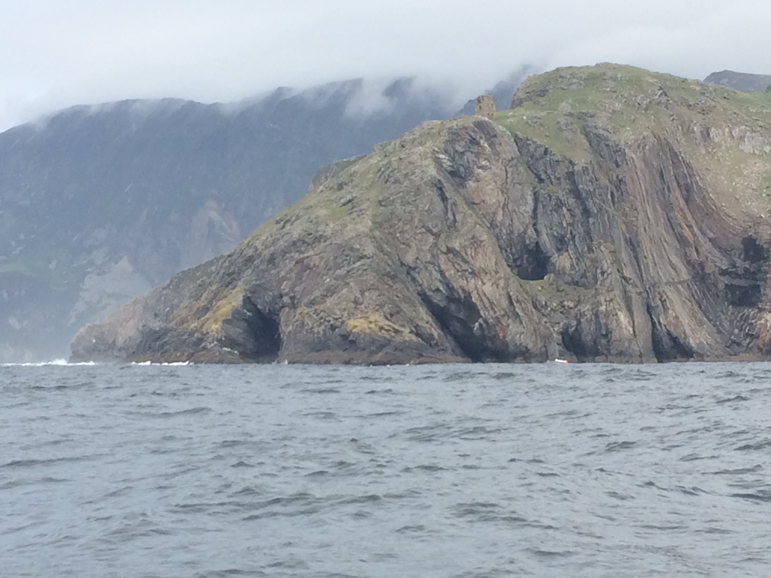
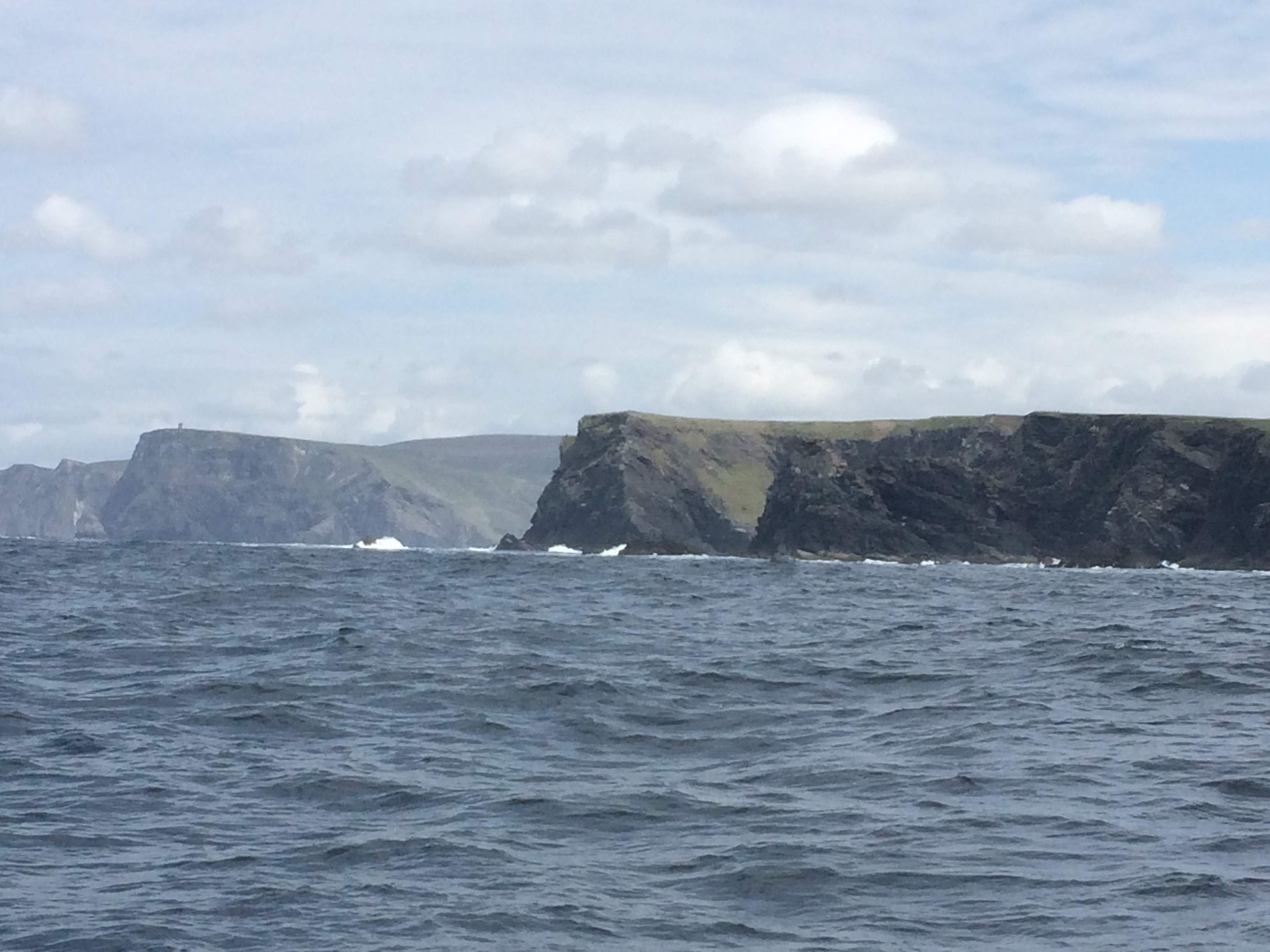
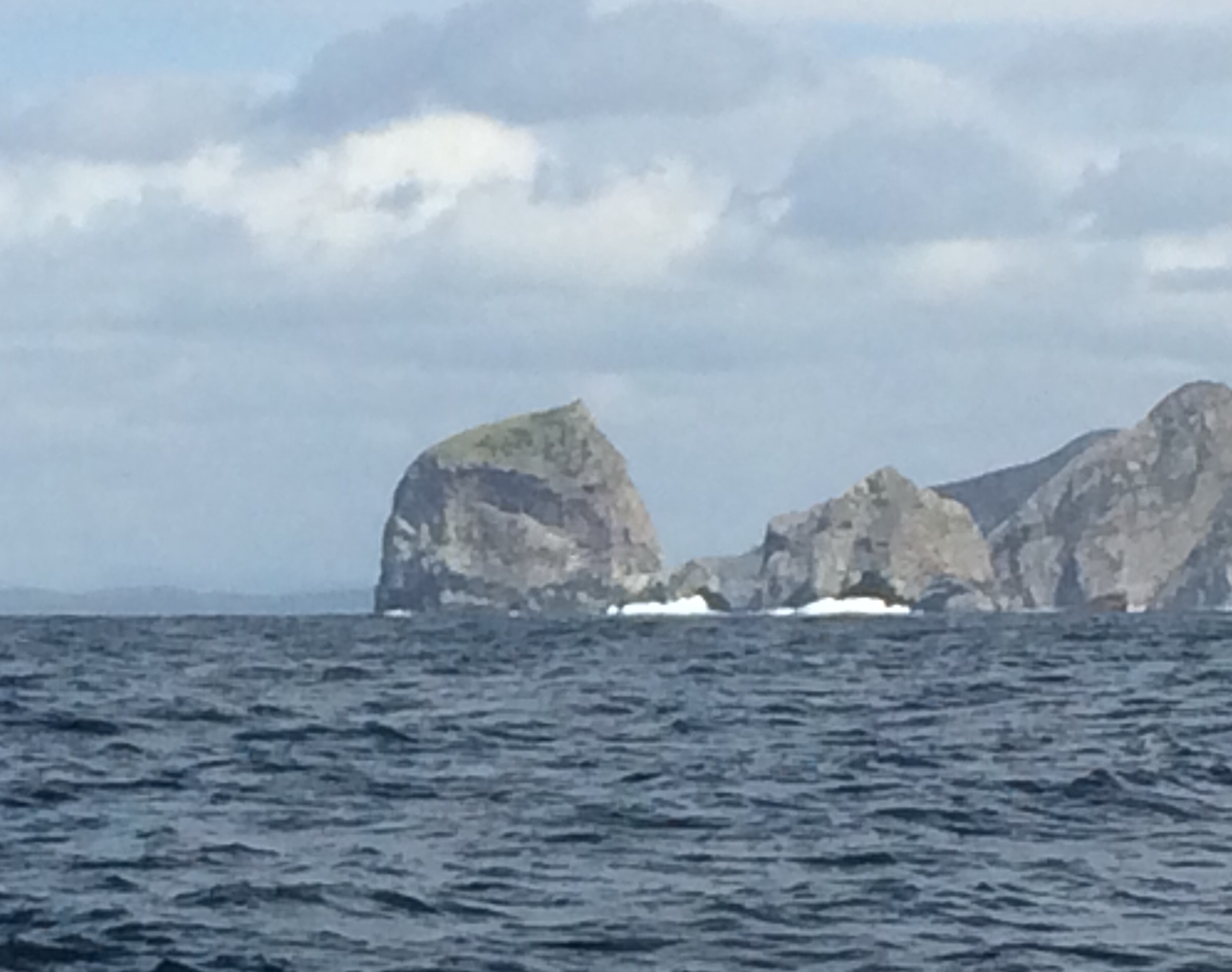
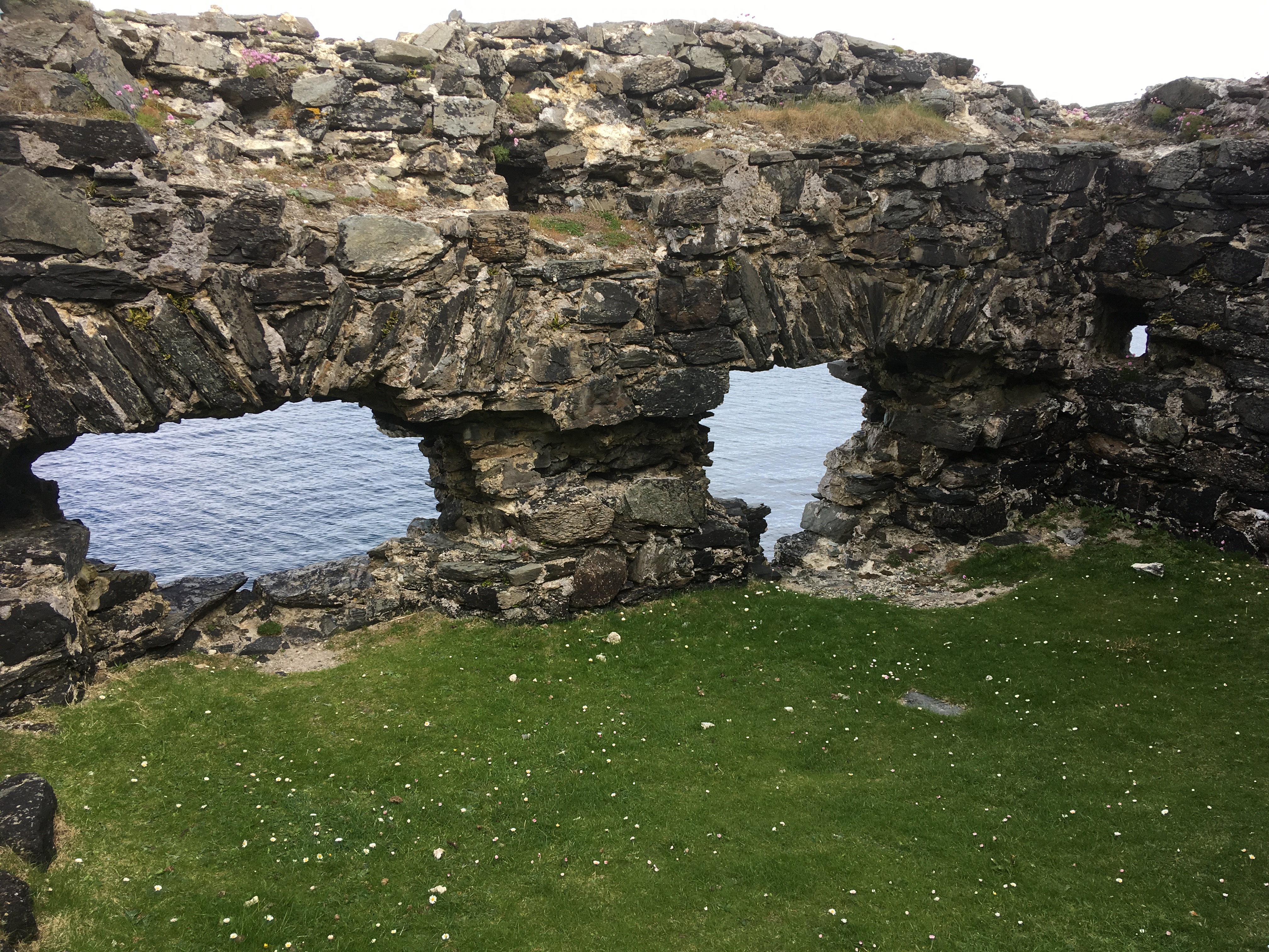
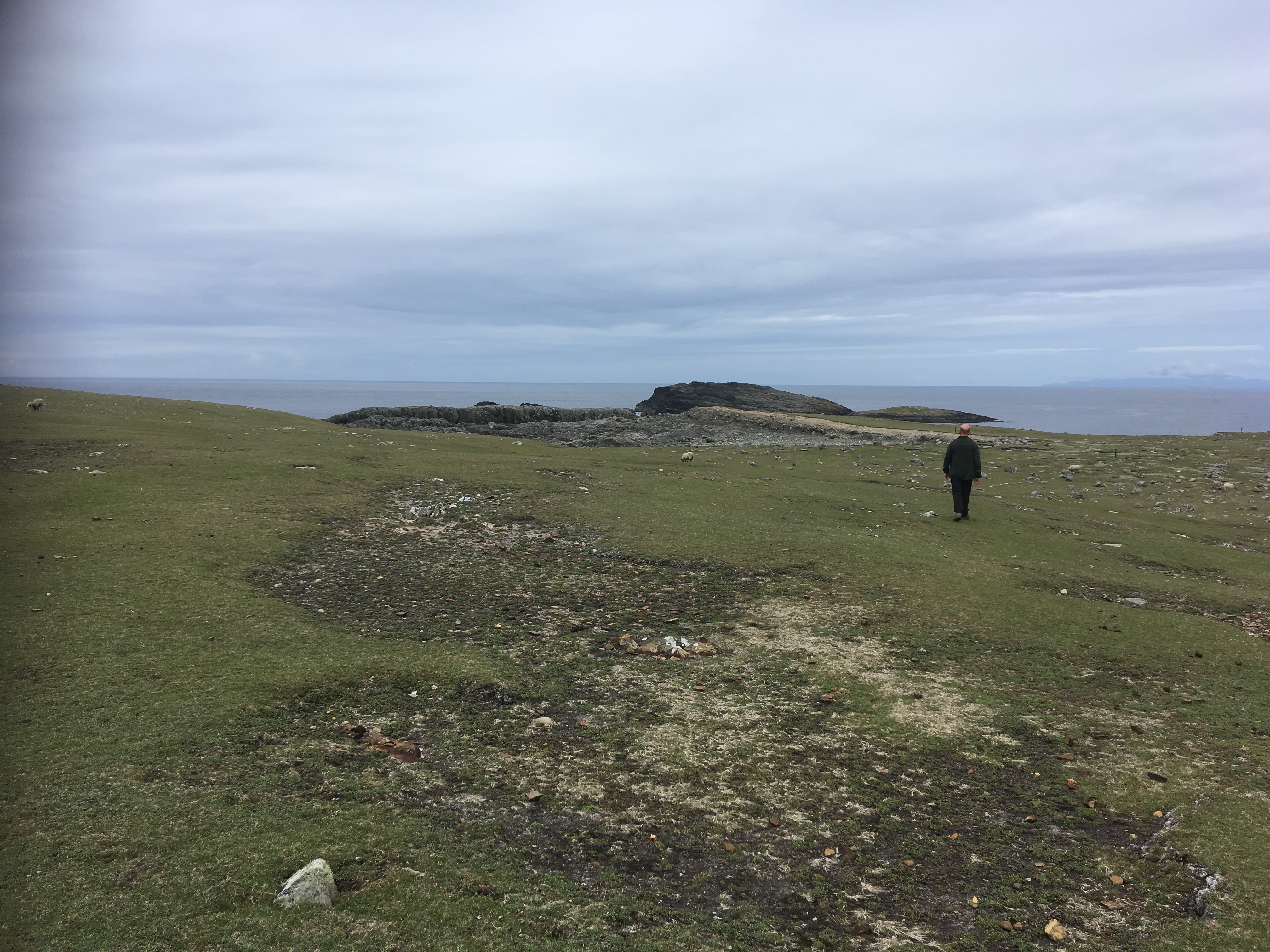
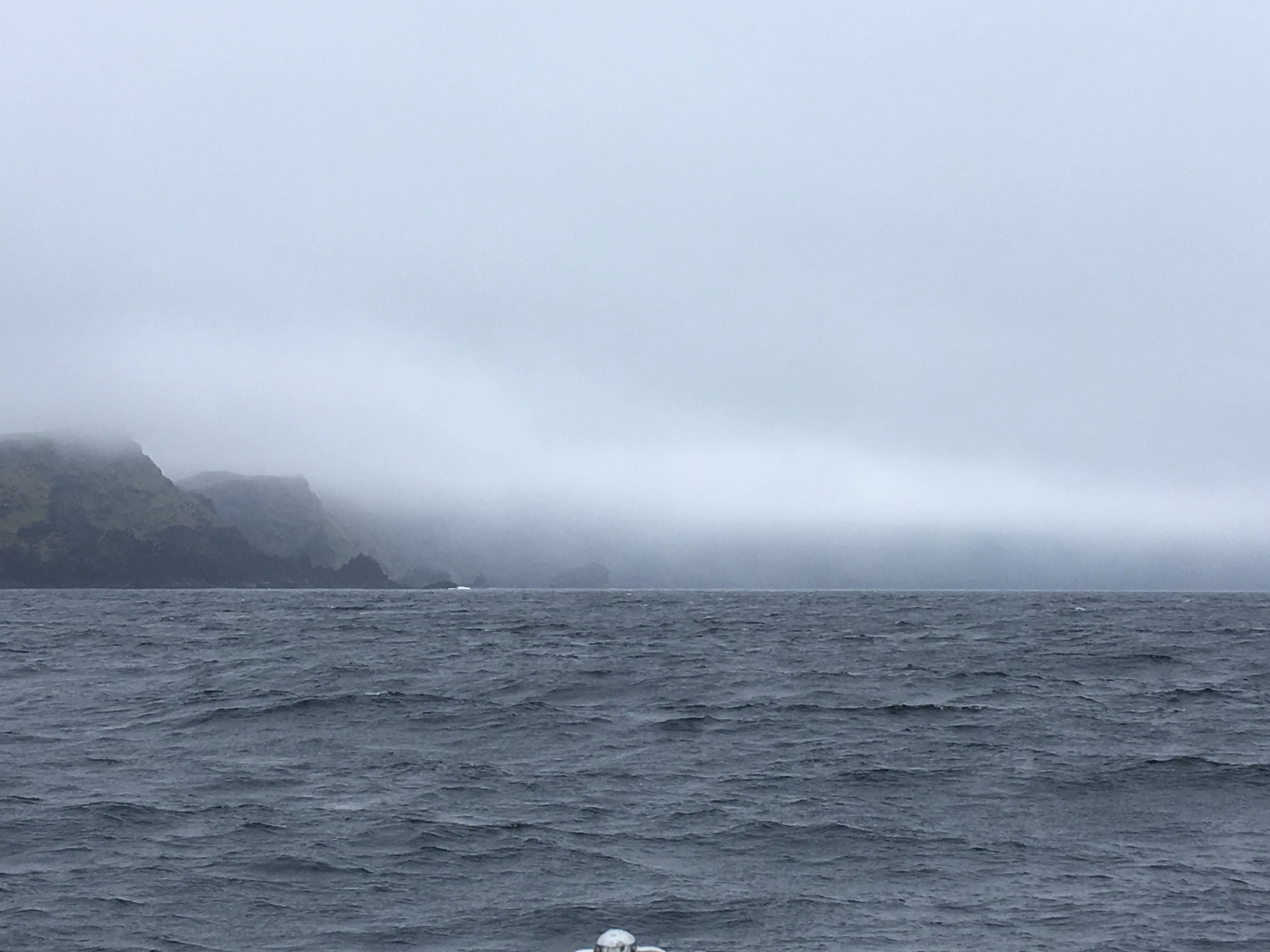
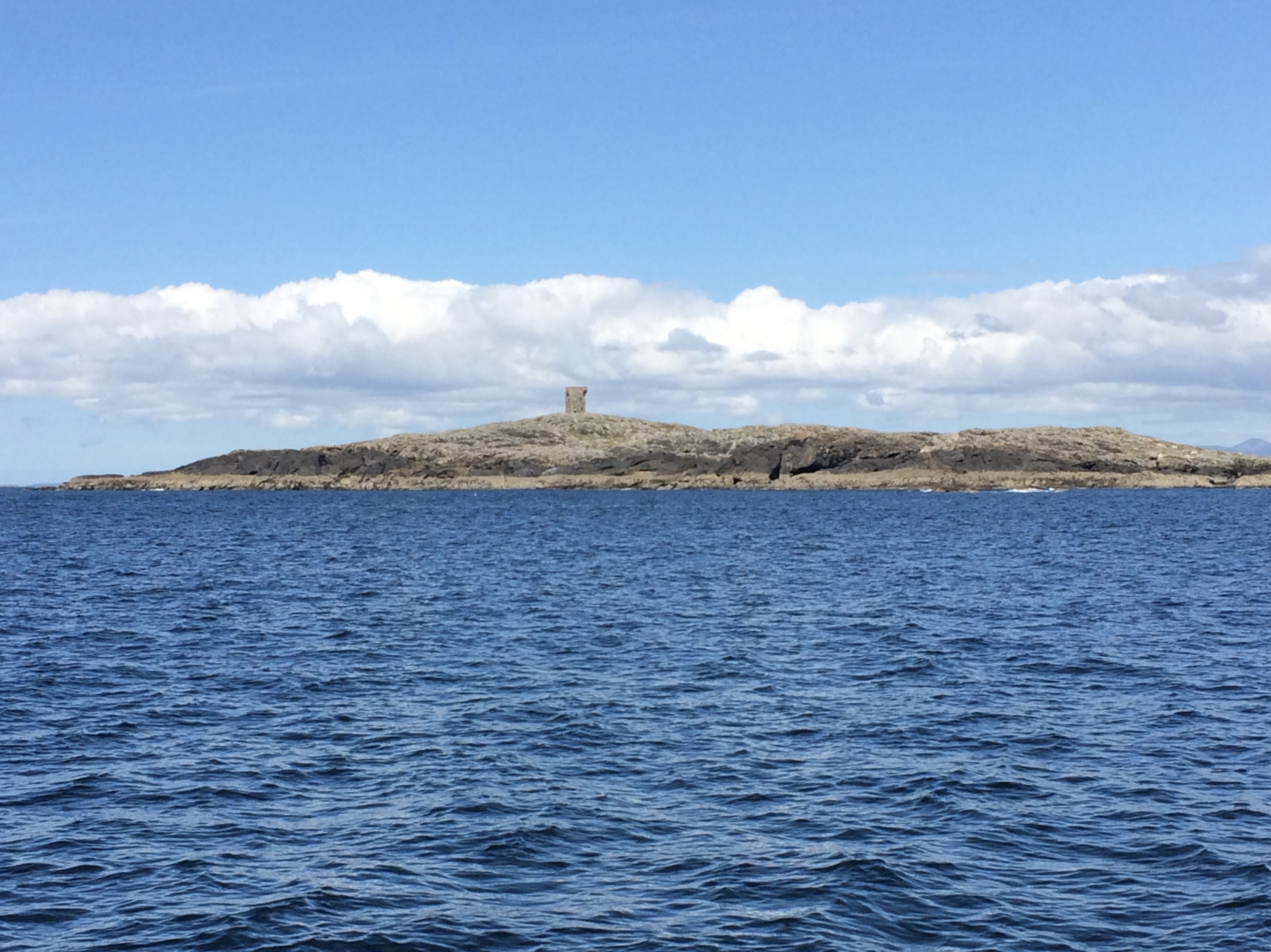
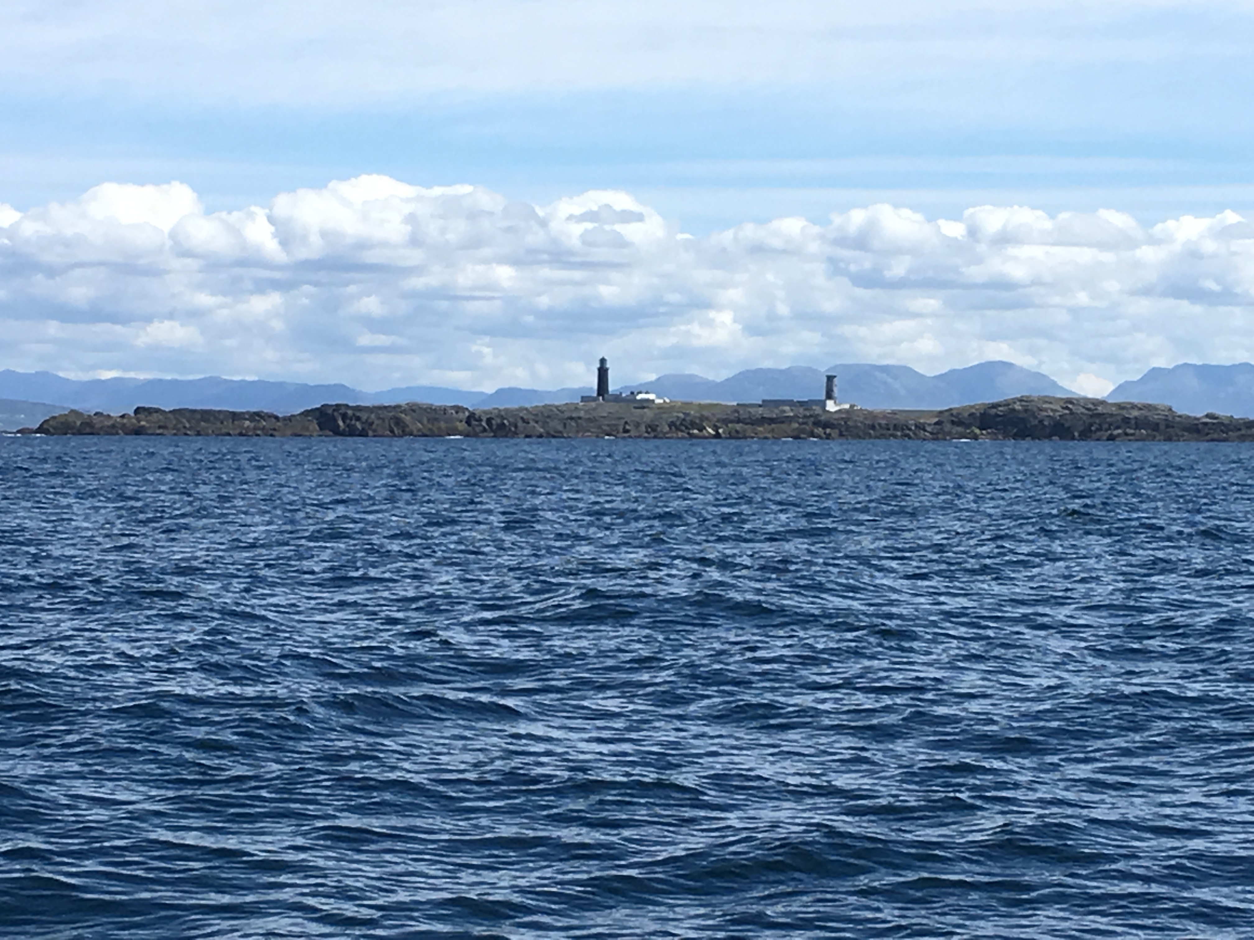
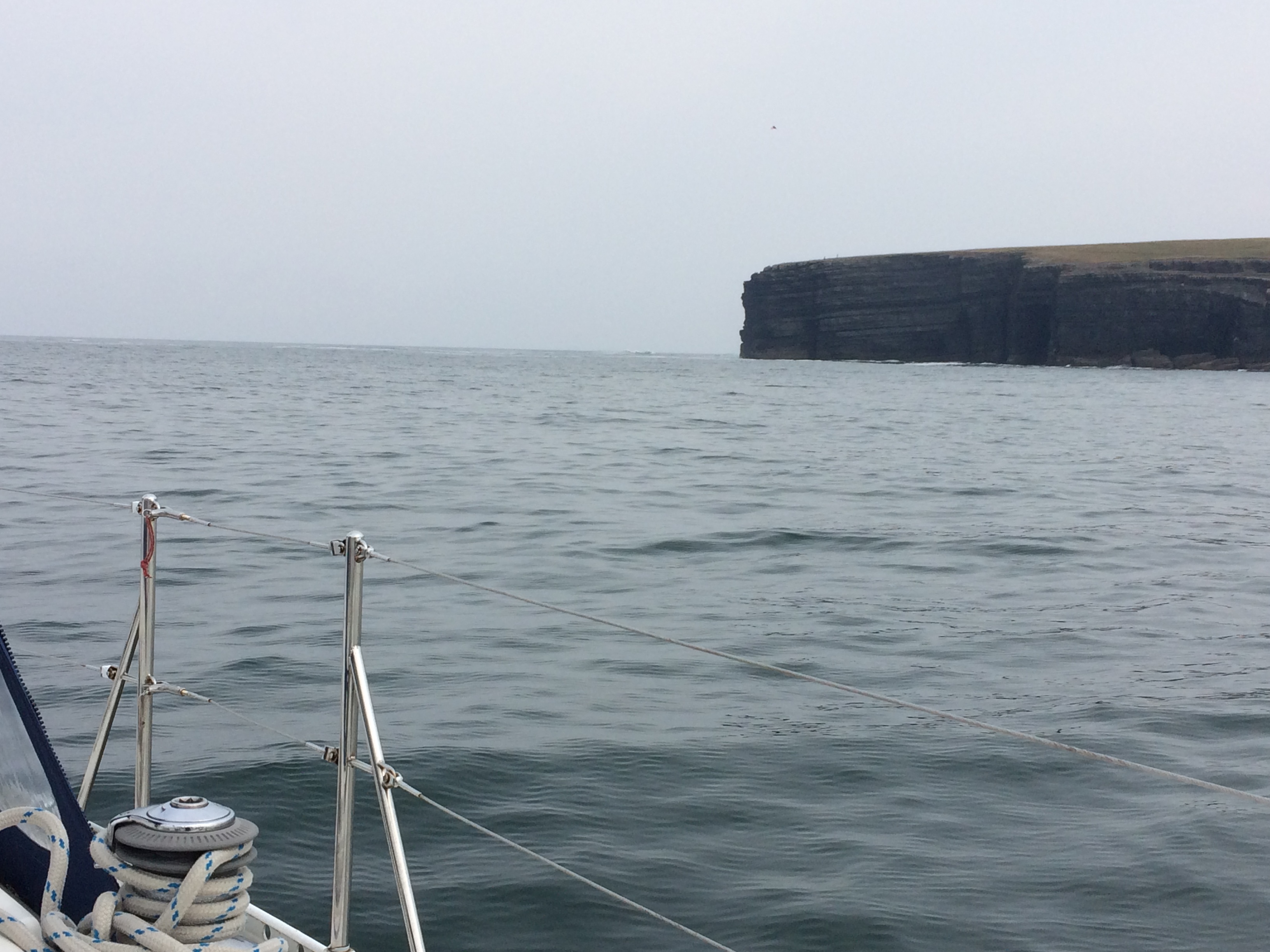
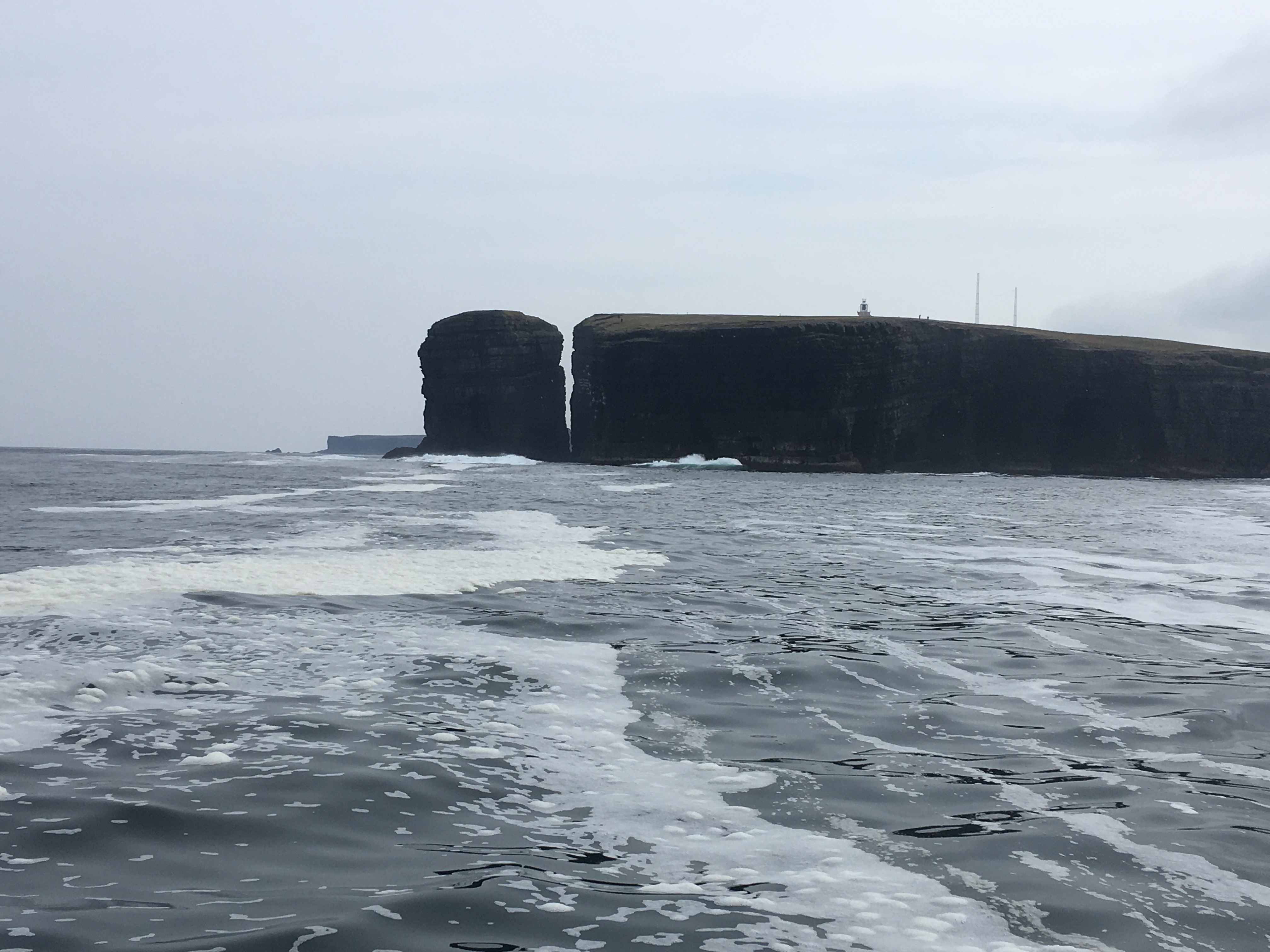
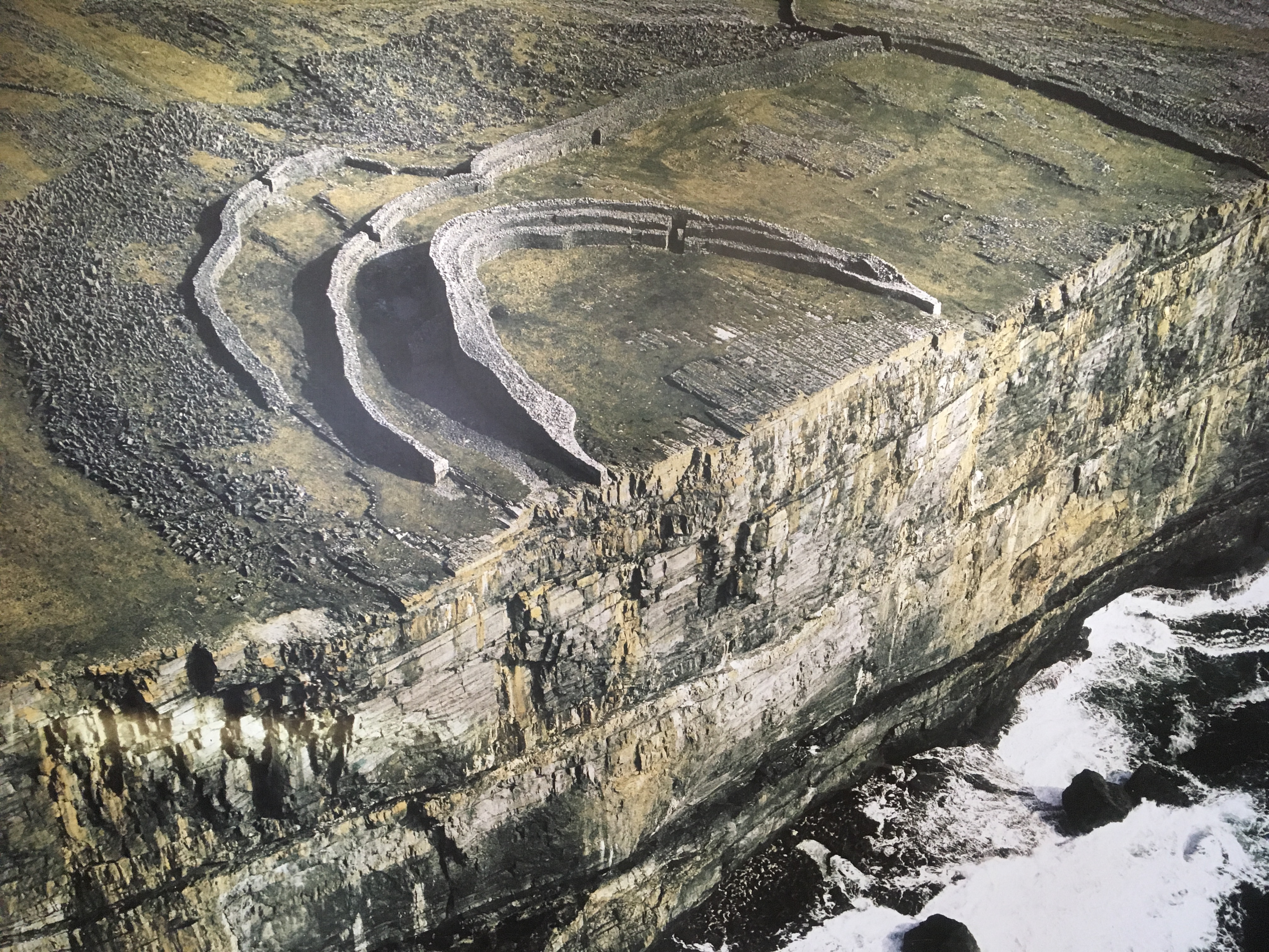
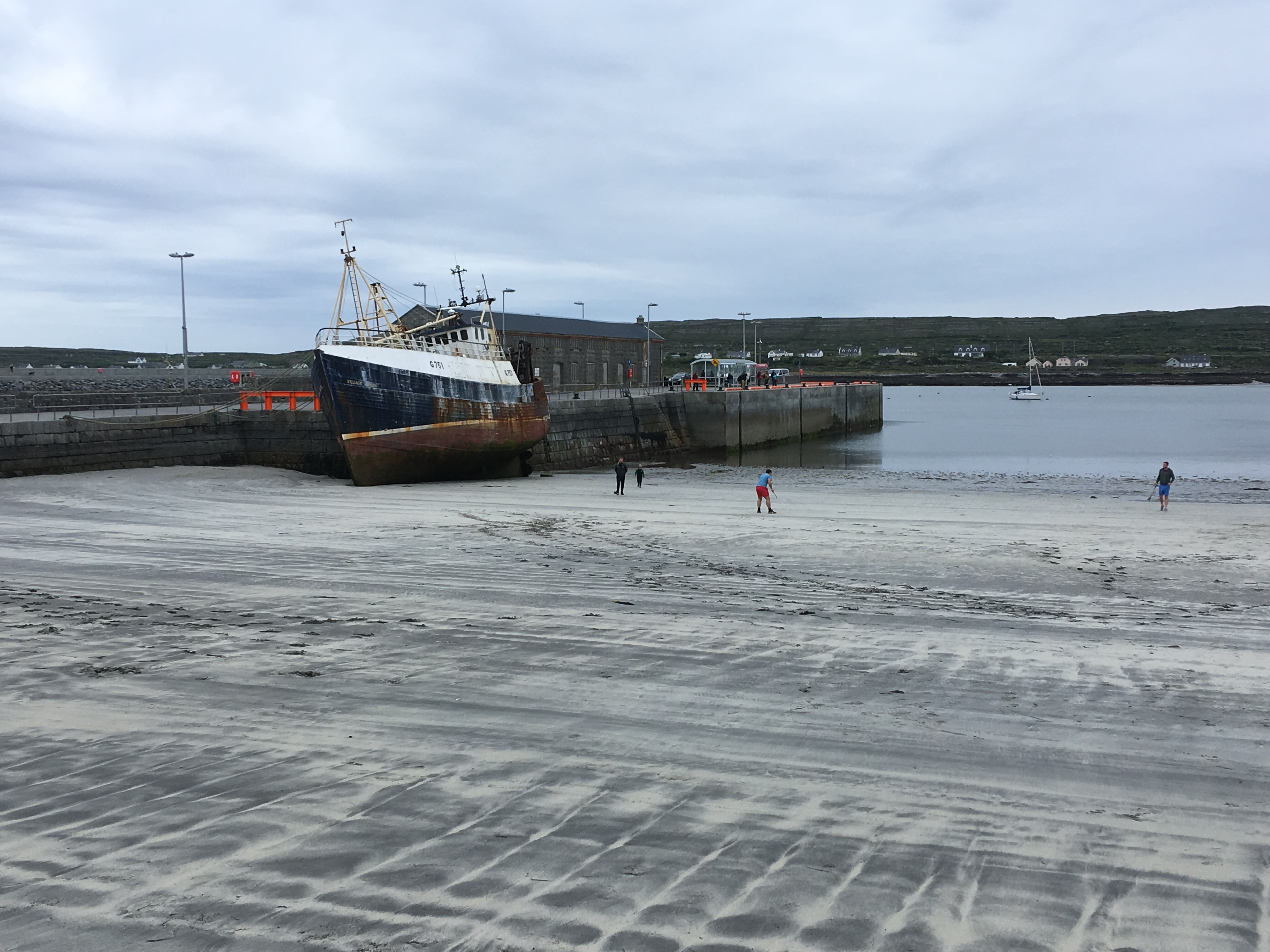
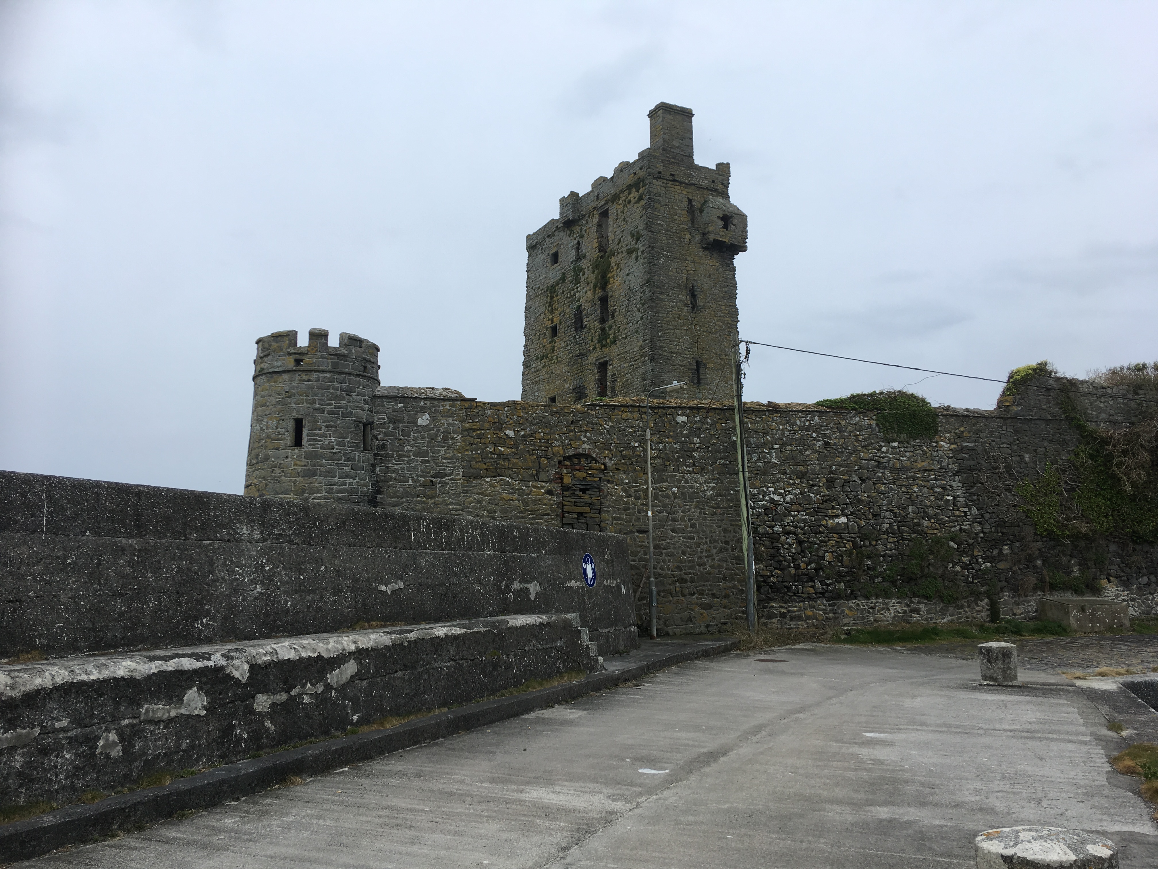
Malin Head, well known as it is the northern most tip of the Irish mainland, was another unimpressive low lying headland.
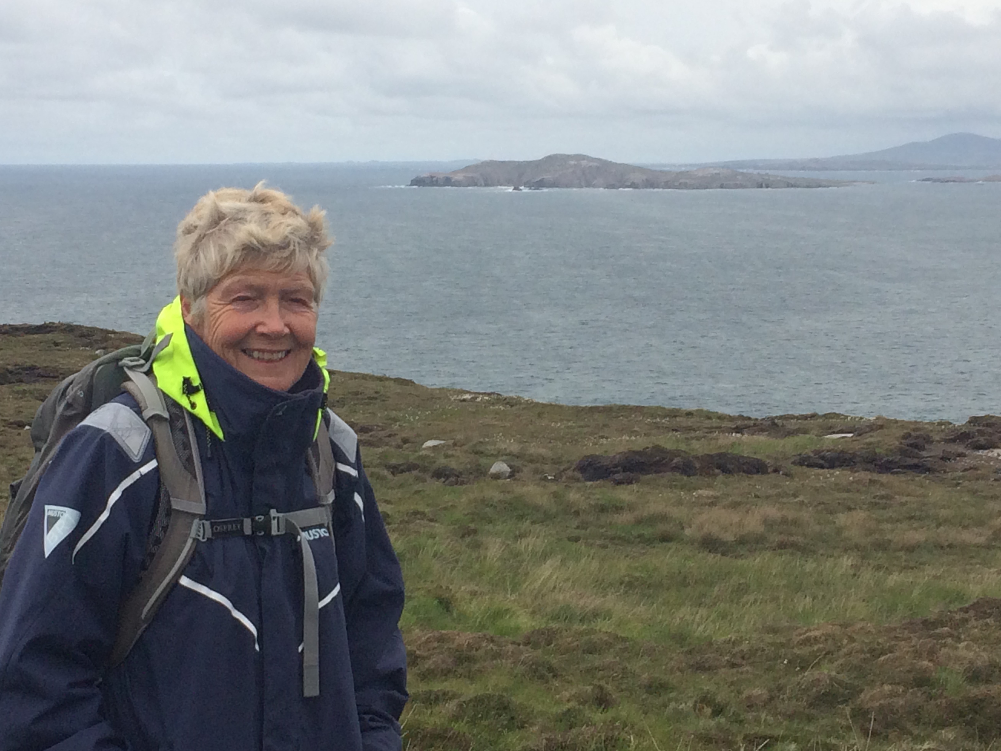
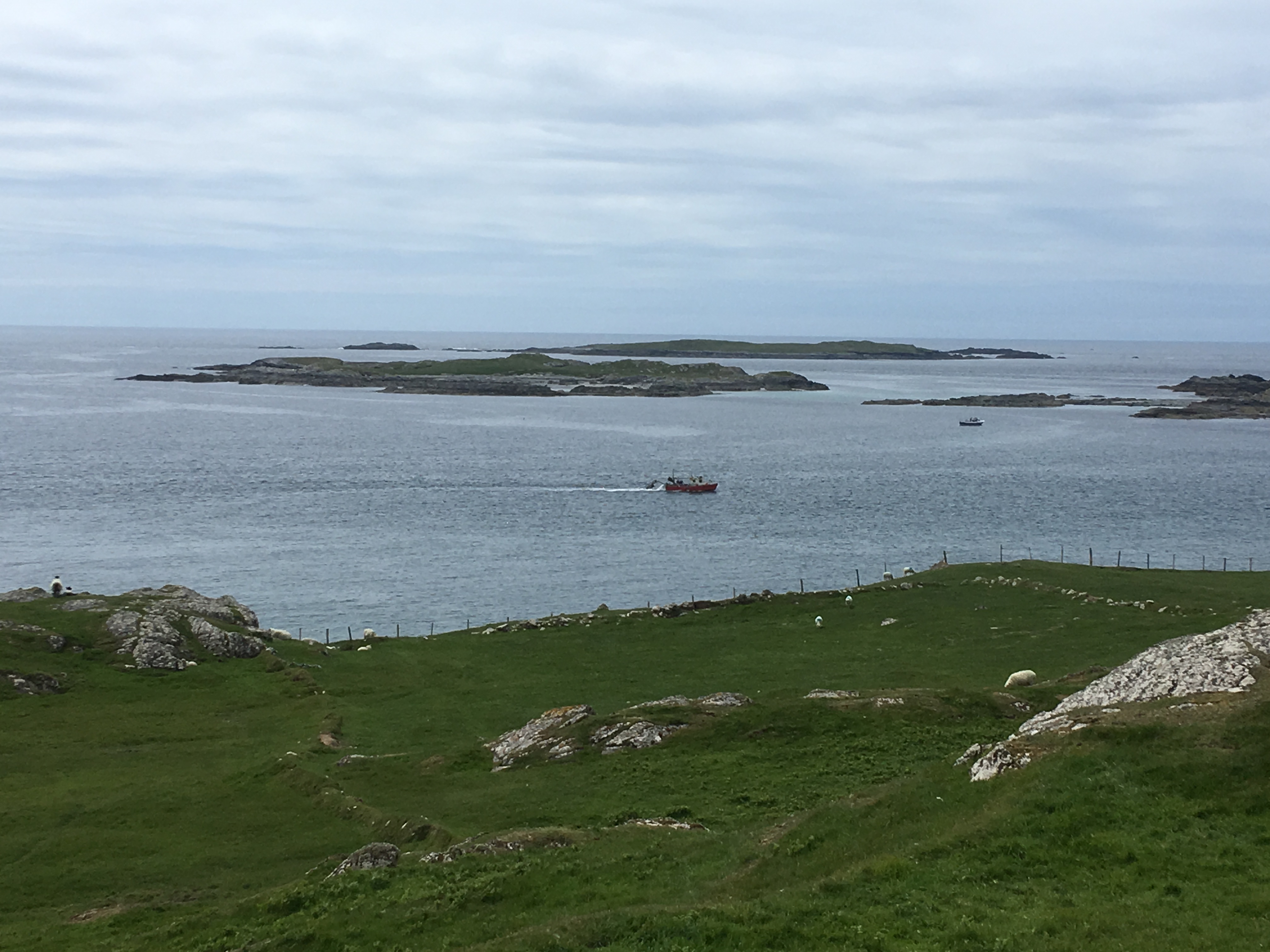
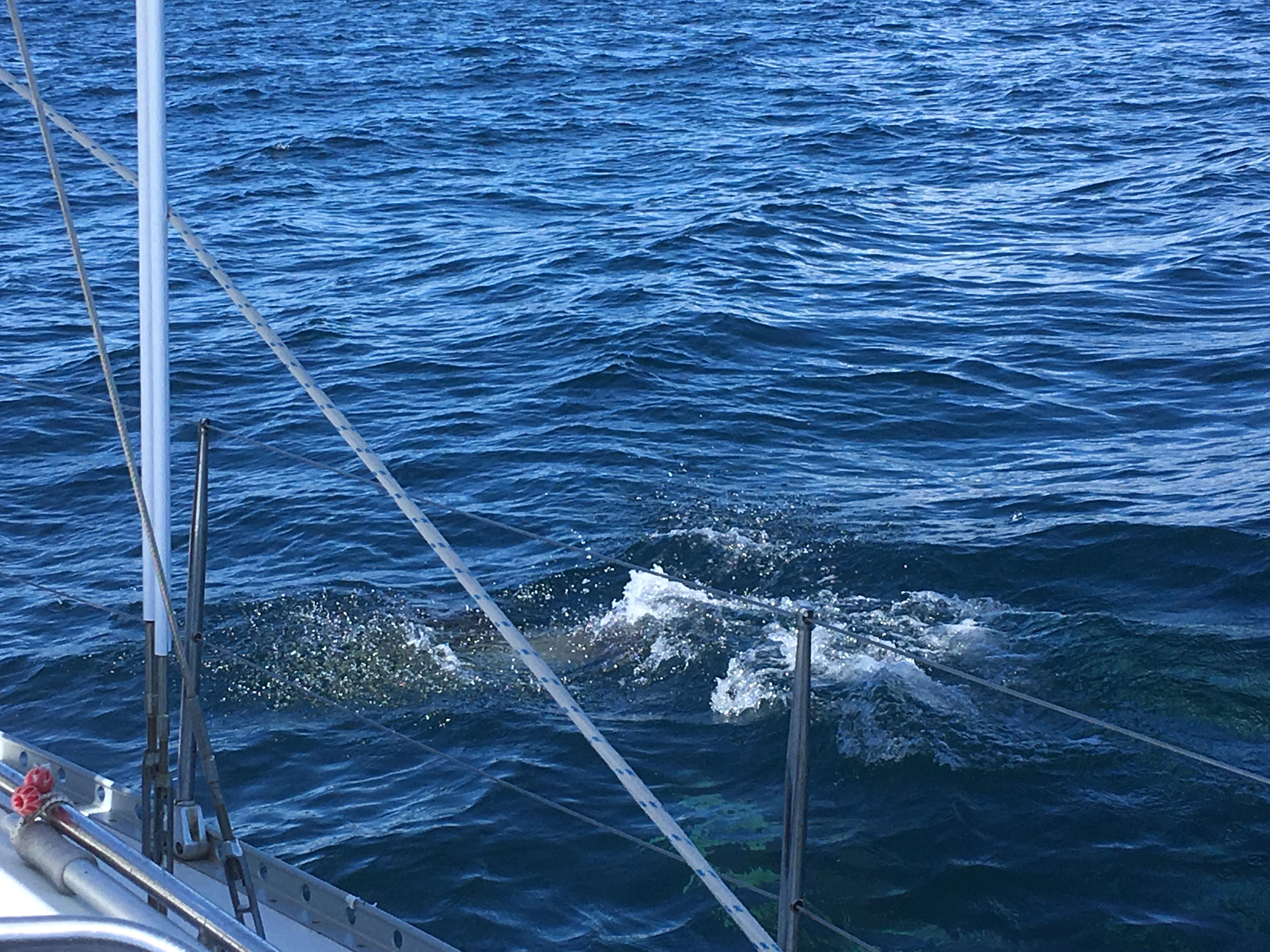
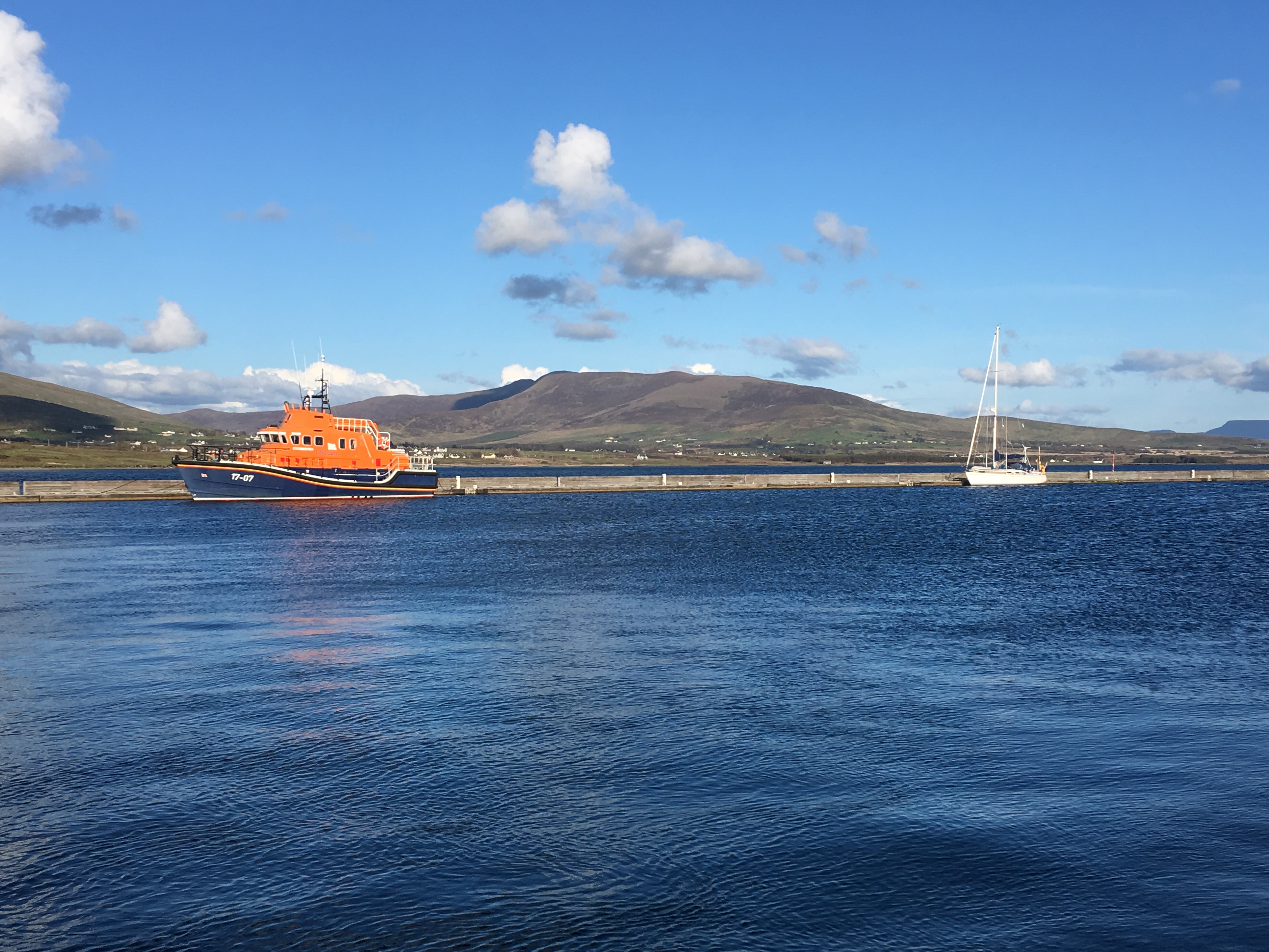
While we were rounding Malin Head David managed to make contact with the harbourmaster at Portrush who confirmed that dredging was going on but the harbour was open, facilities looked better than Greencastle so we reverted to plan A, a good choice as it turned out. First because David saw a Minke whale surface briefly close to the boat, recognisable by its small dorsal fin and the rolling motion as it surfaced, my first whale sighting!  By the time Debbie came on deck it was gone.


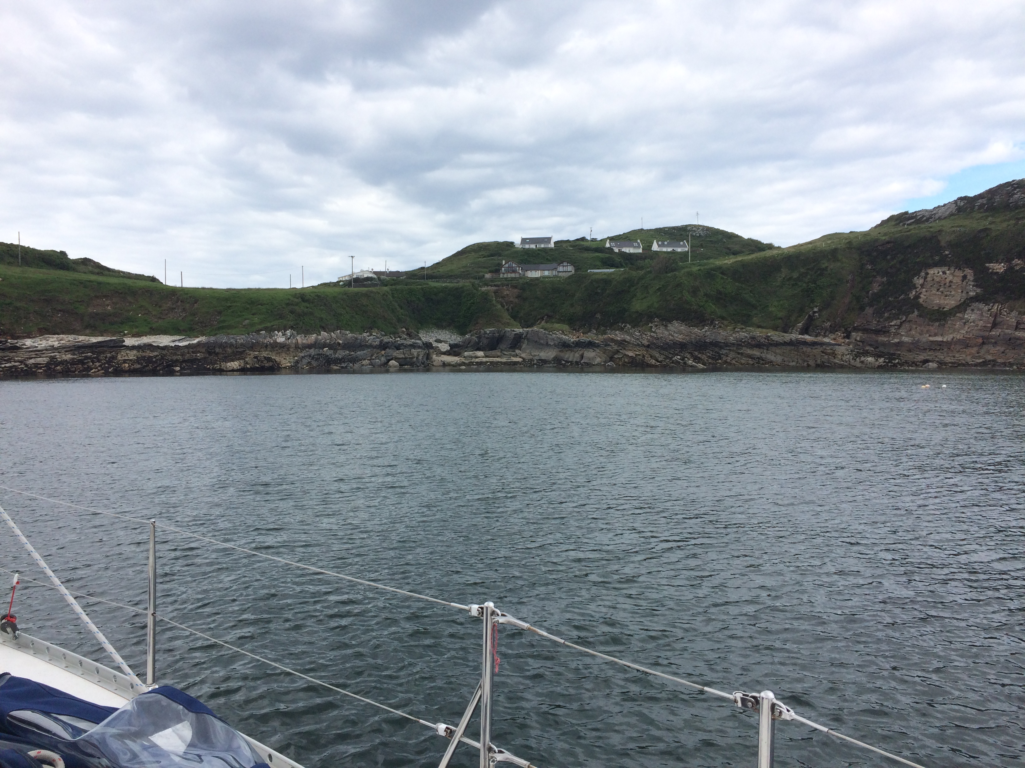
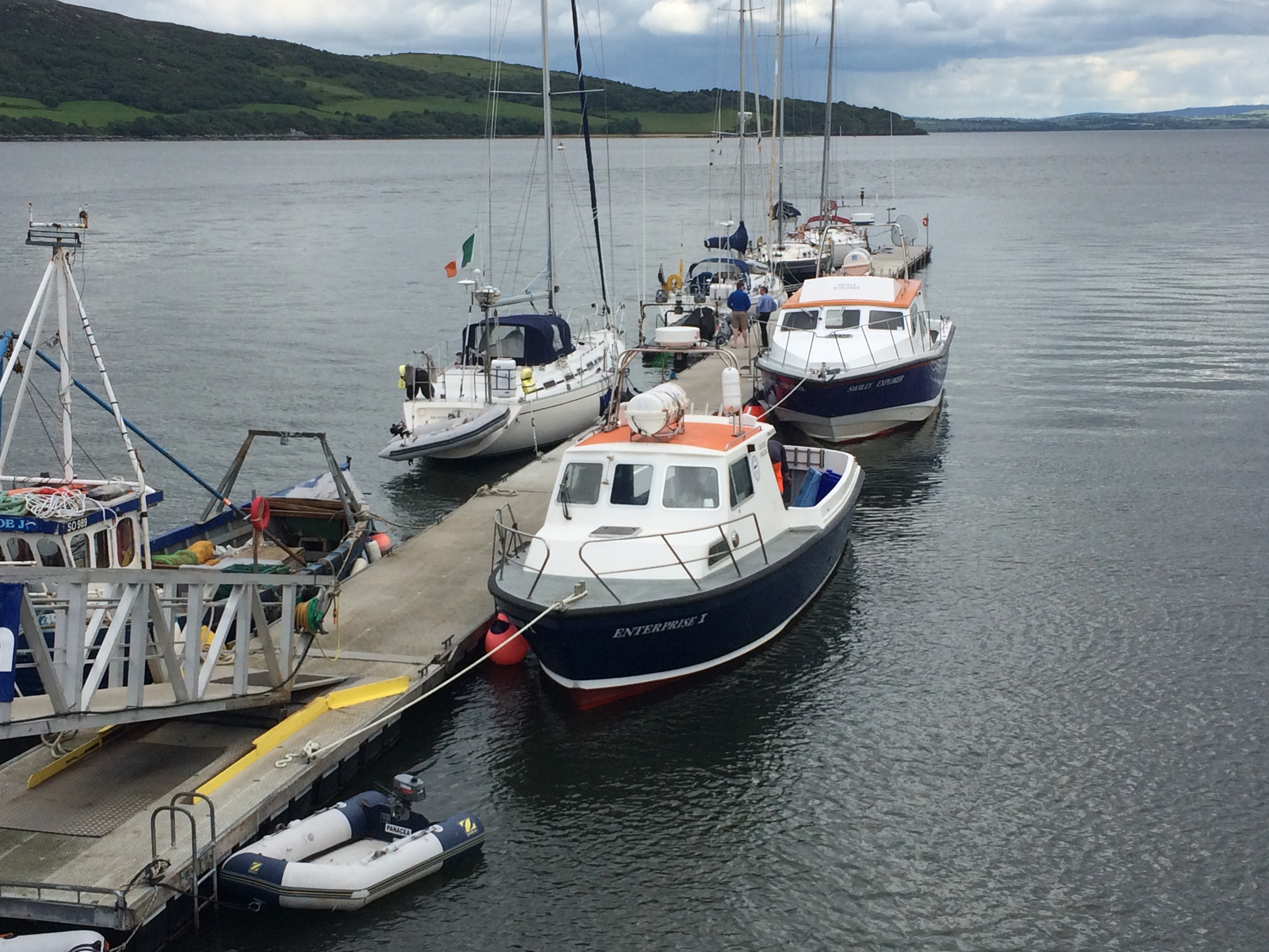
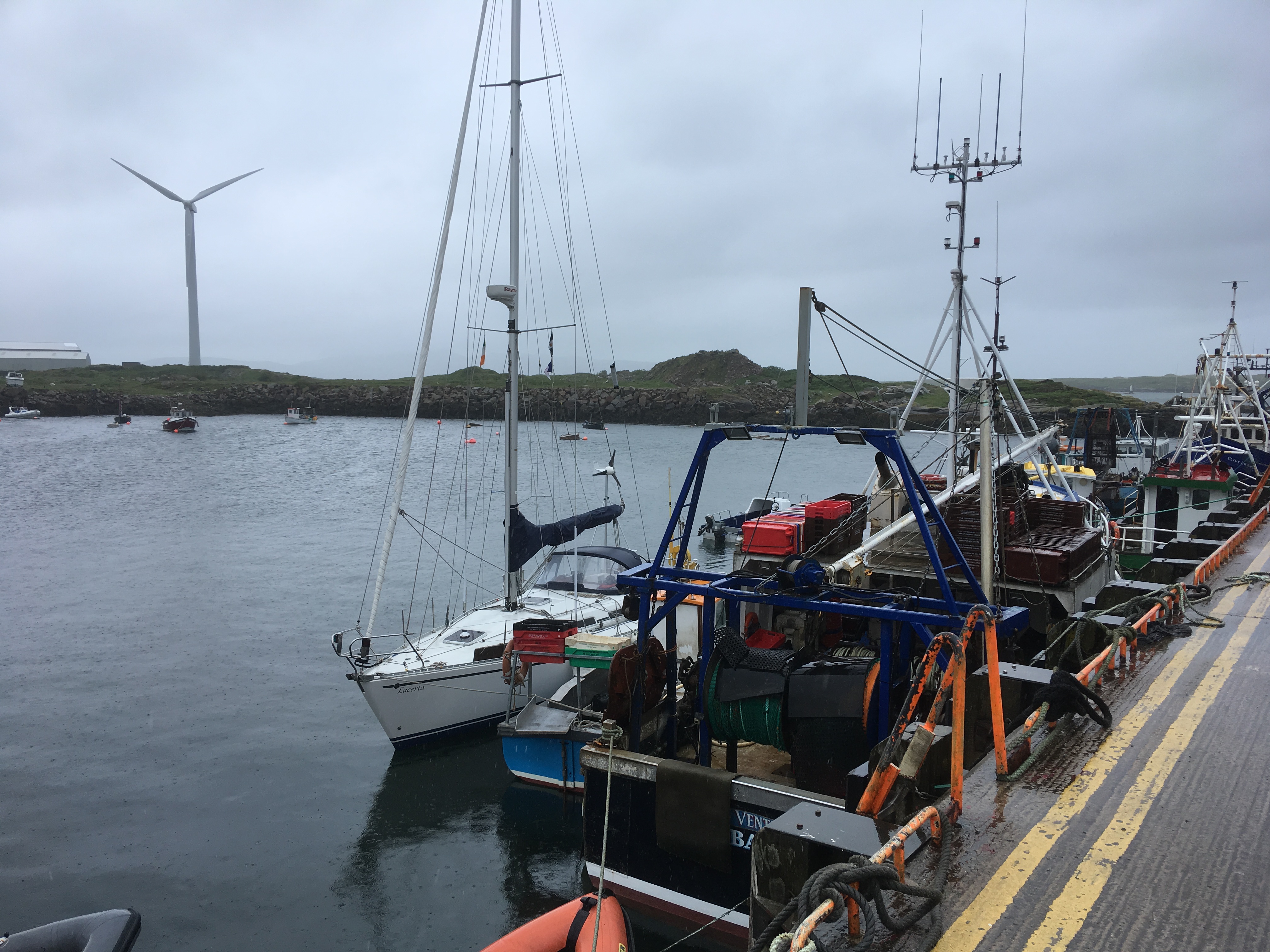
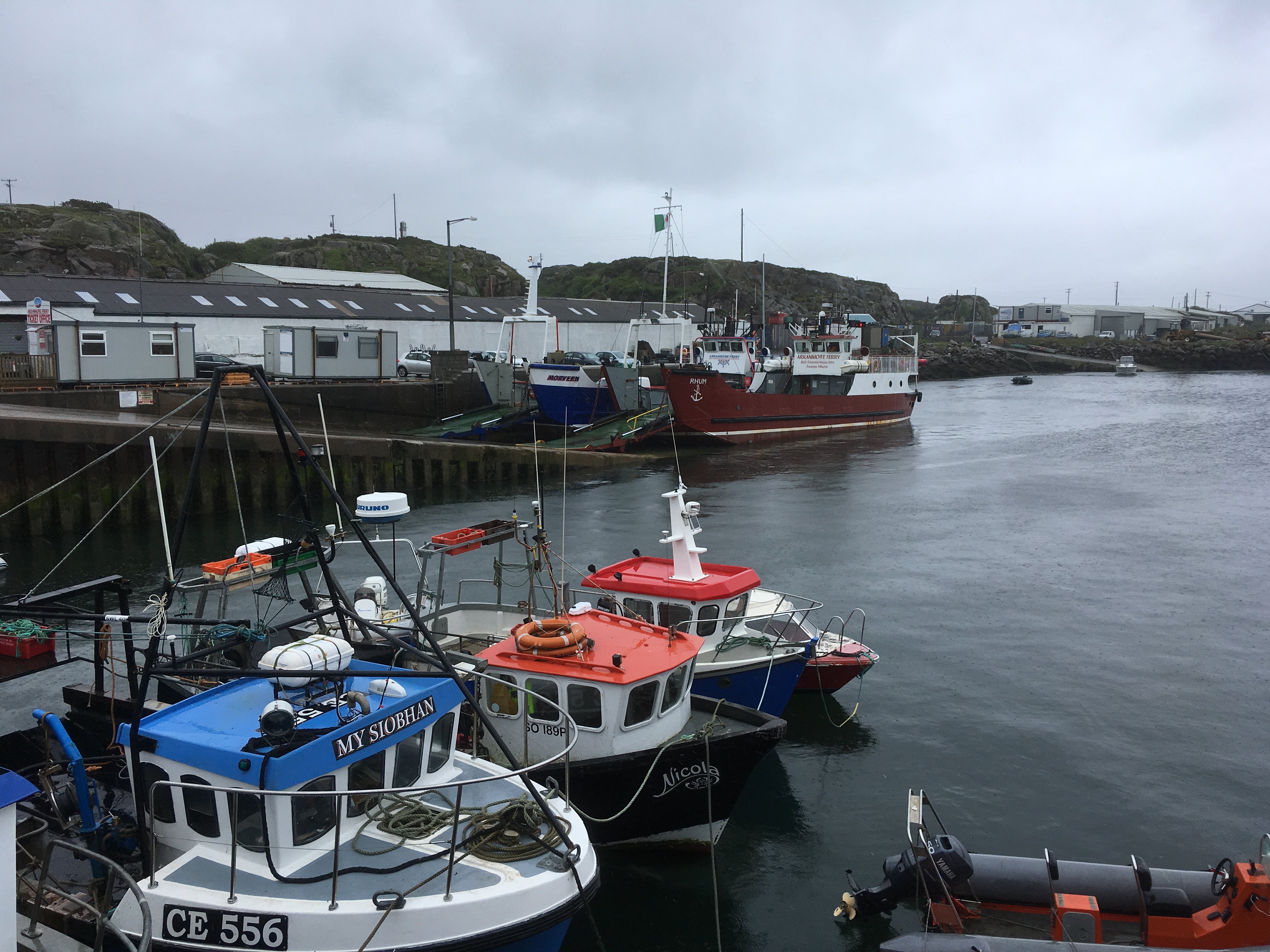
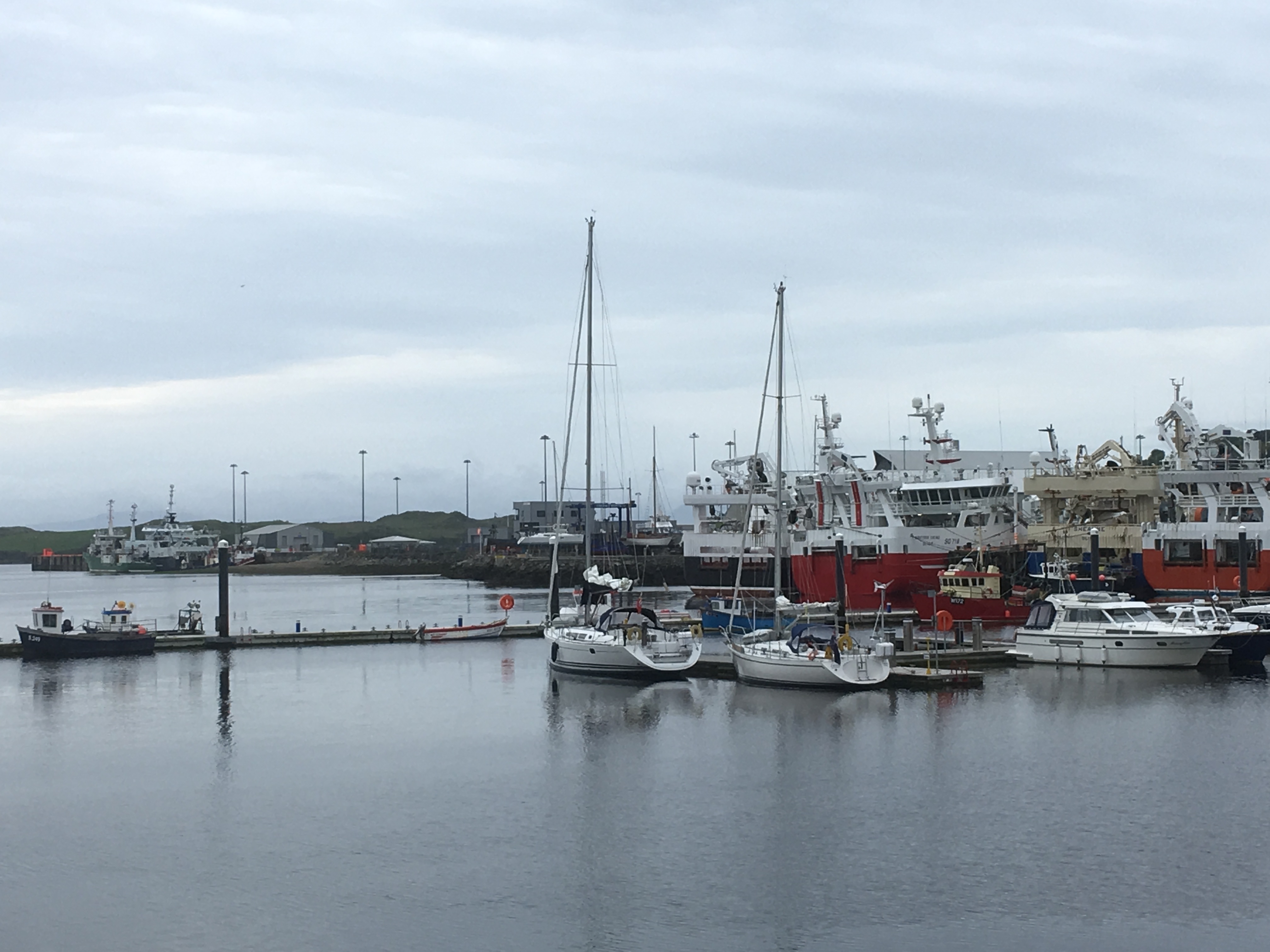
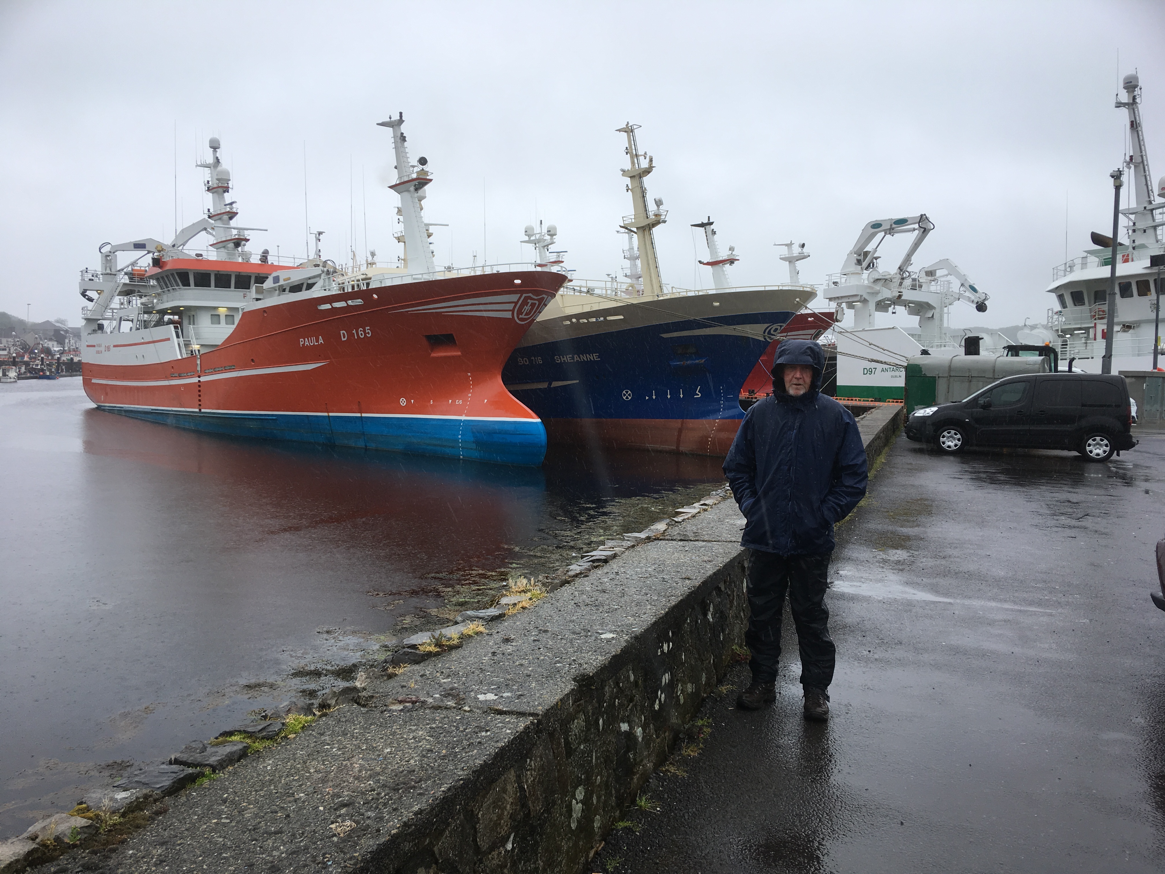
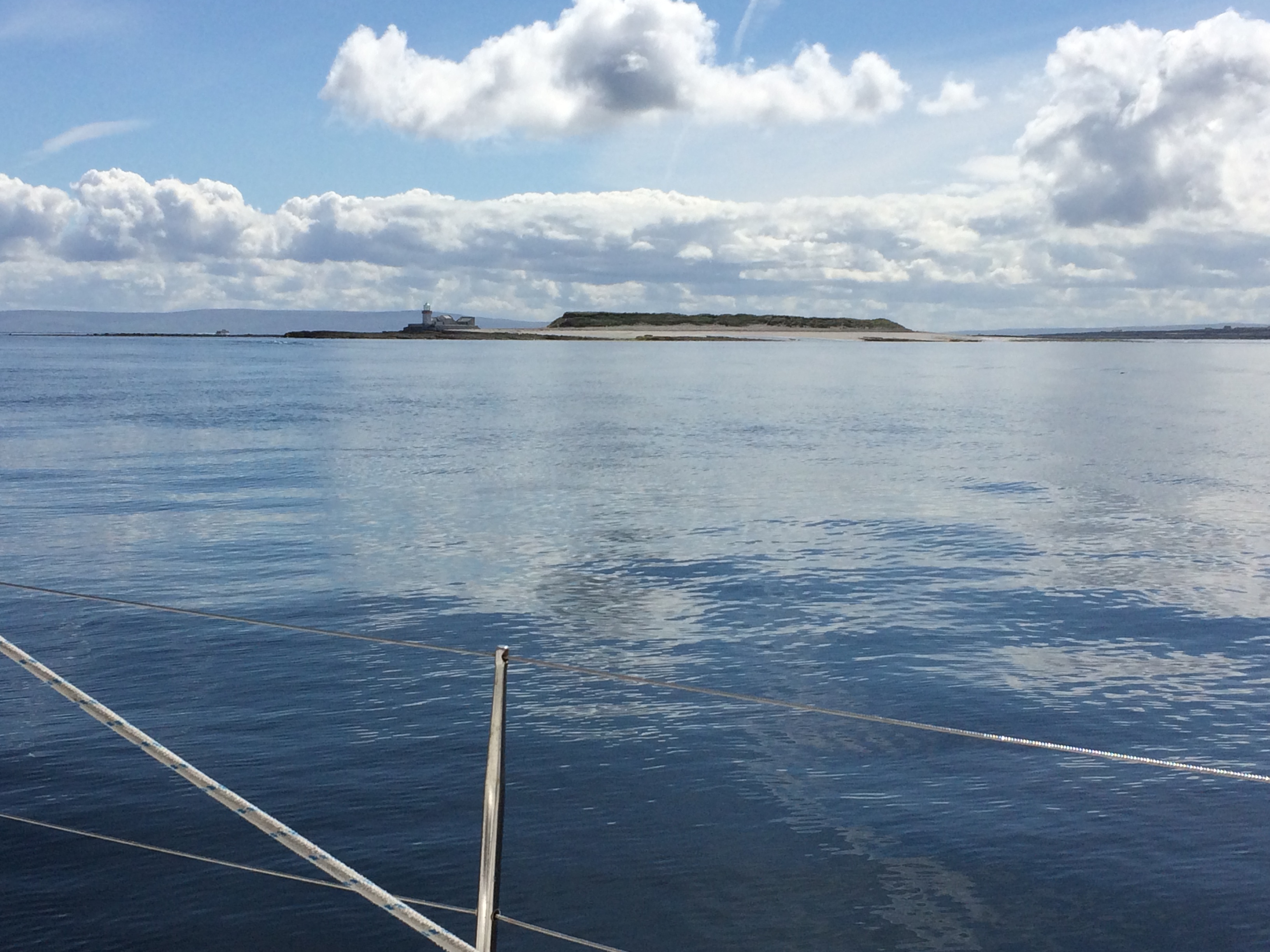
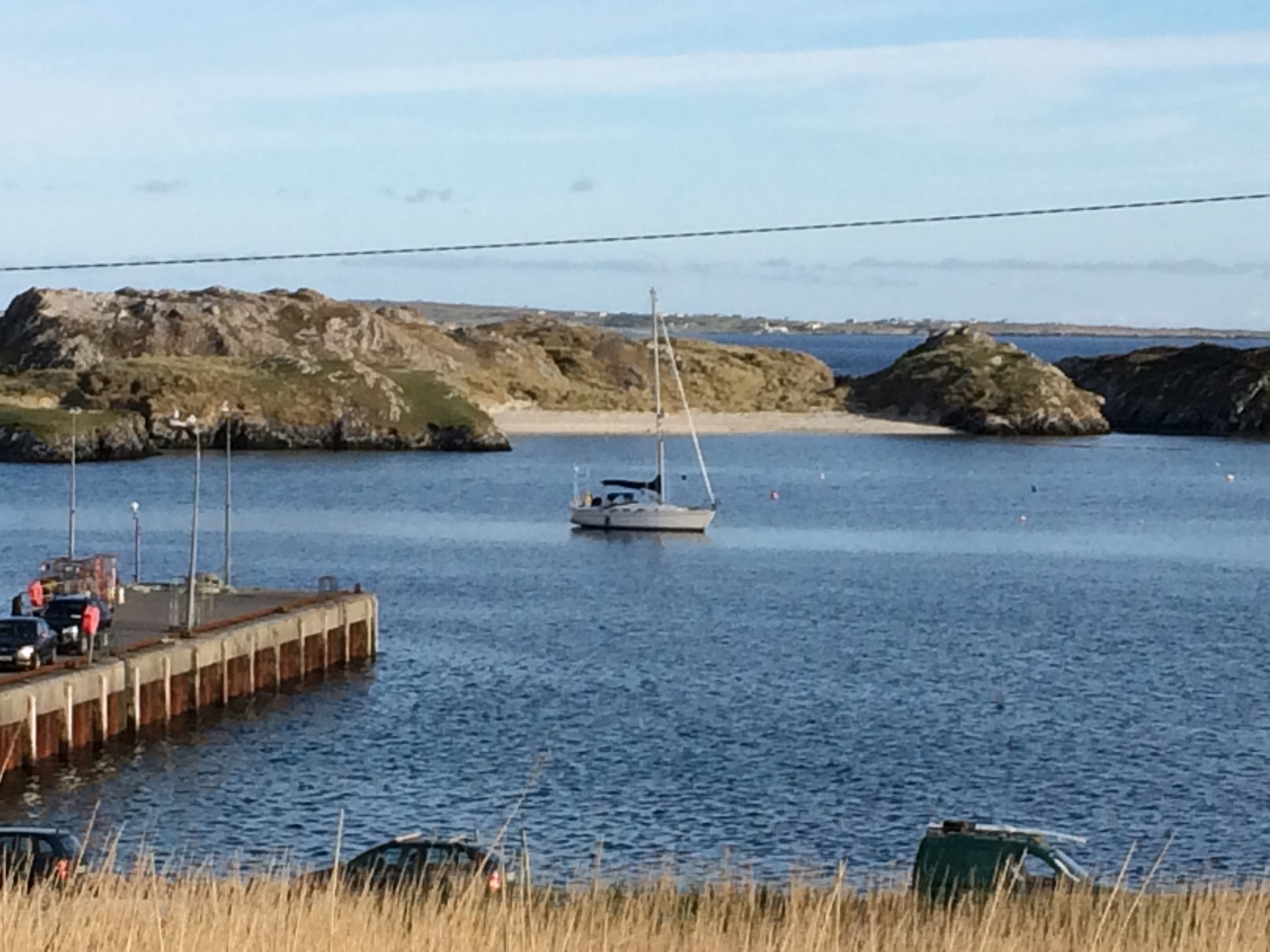
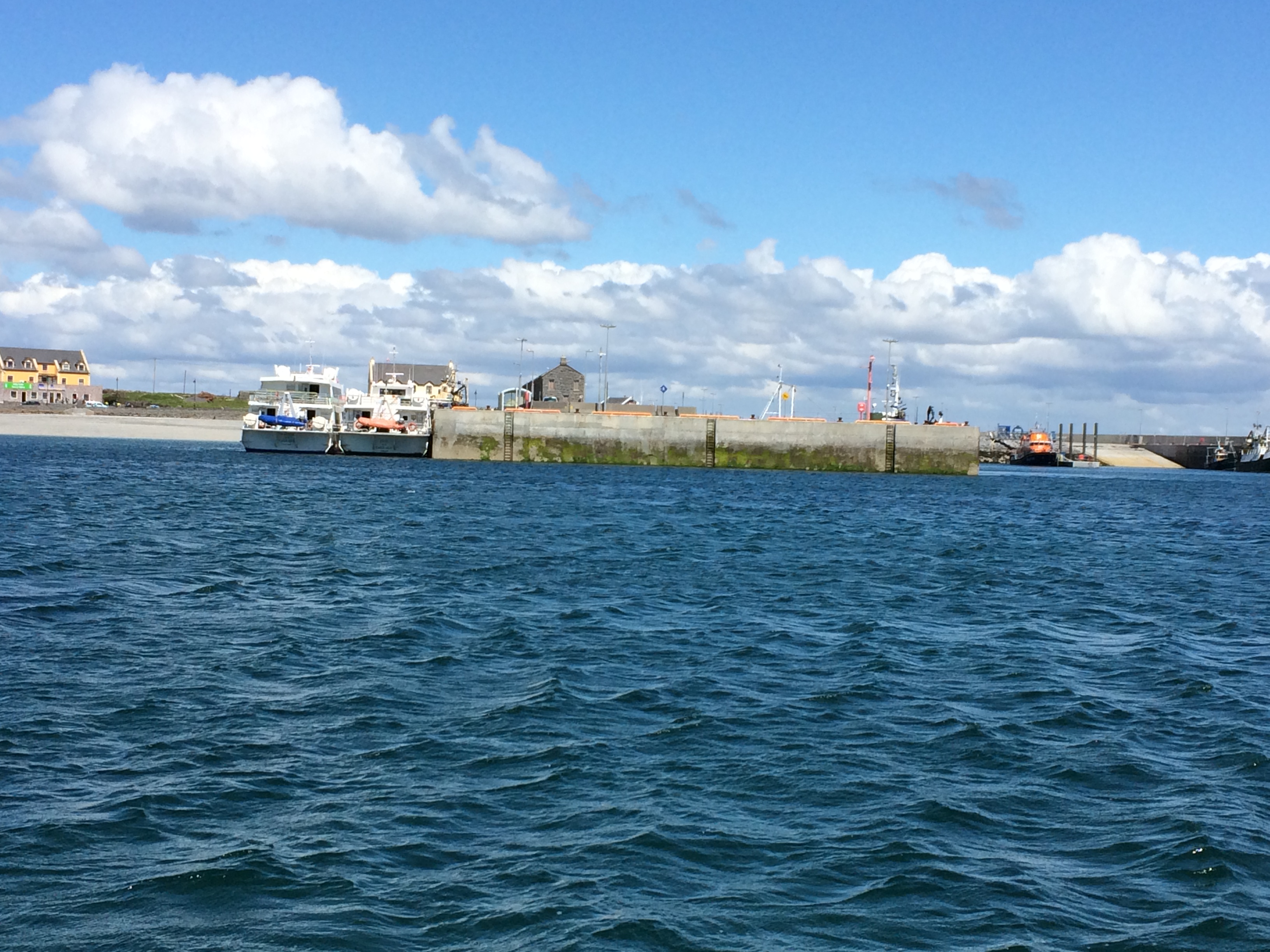
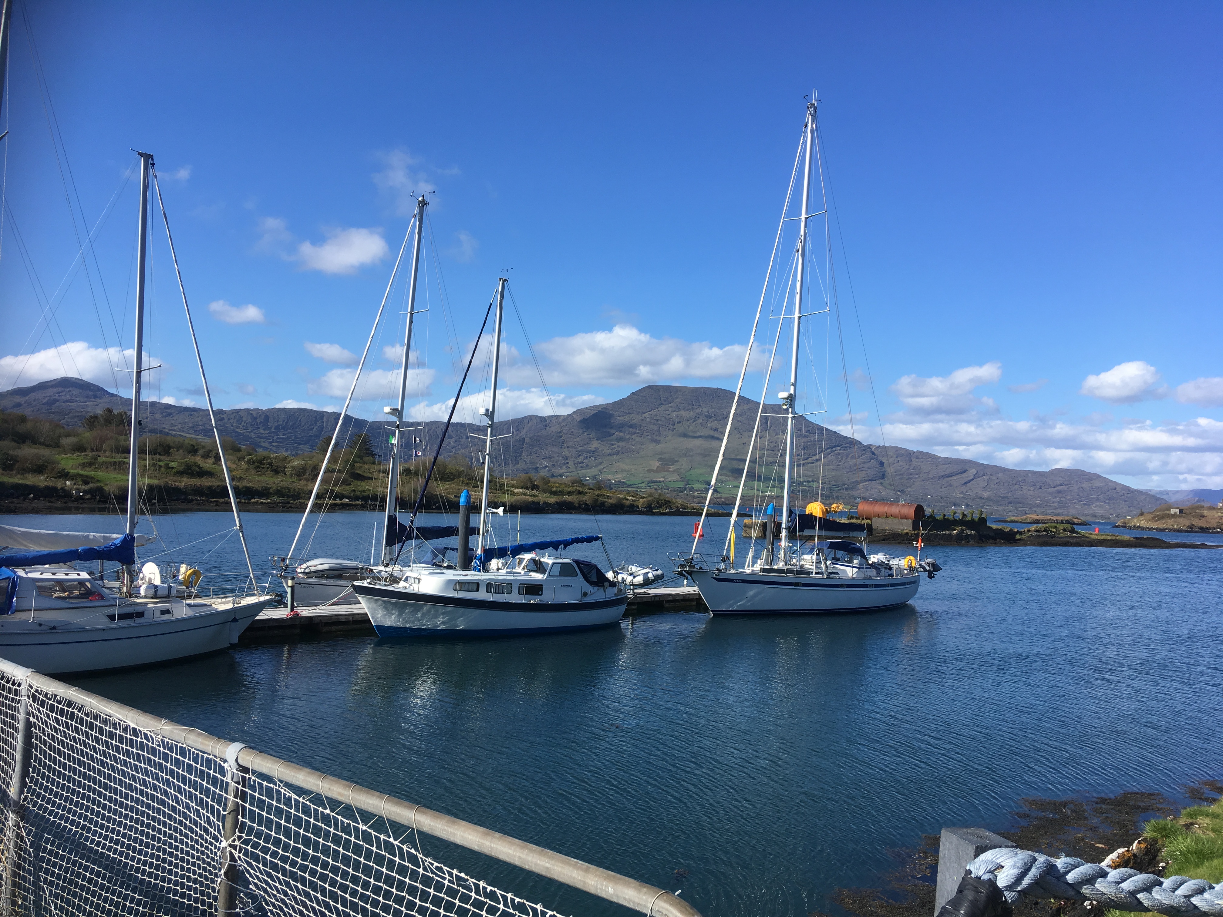
Portrush is a small, well protected, man made harbour, originally designed by the civil engineer, John Ronnie in 1836. A 75m long walk ashore pontoon was added in 2015 with water and shore power and a good laundry and showers ashore.  The nicest place we’ve stopped for a long time.

Alongside the pontoon in Portrush with the dredger in the background

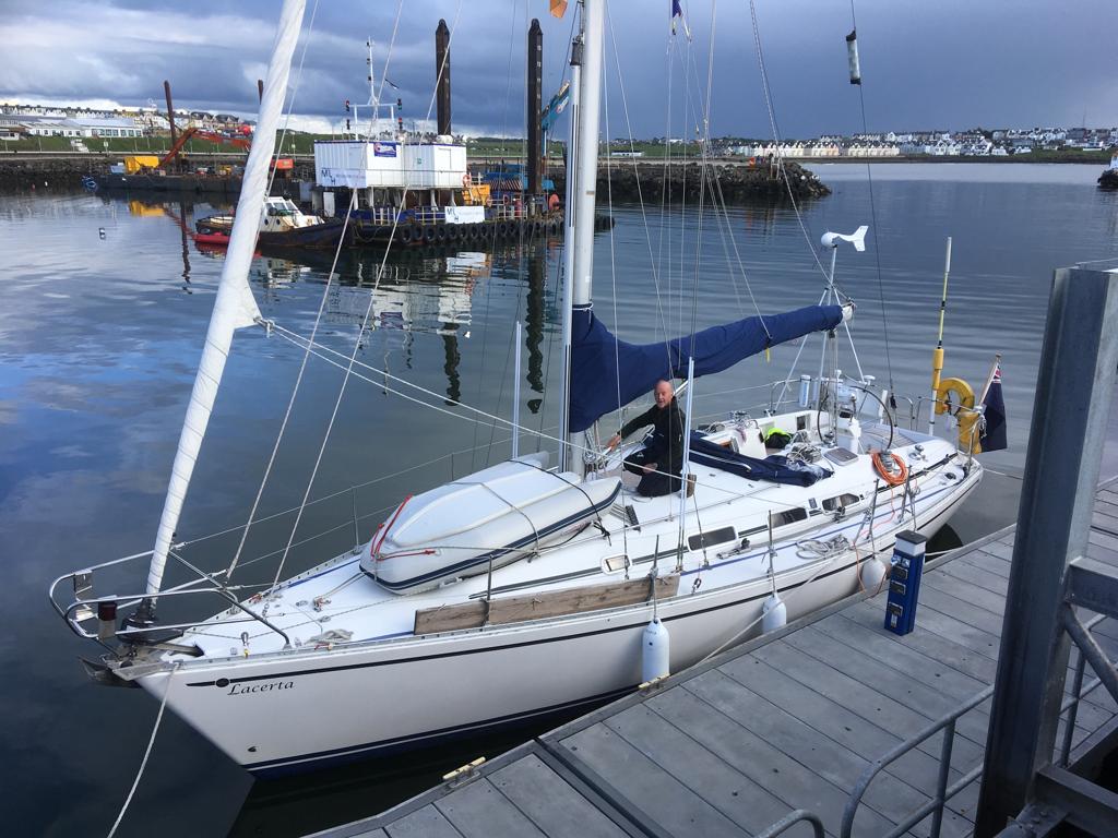
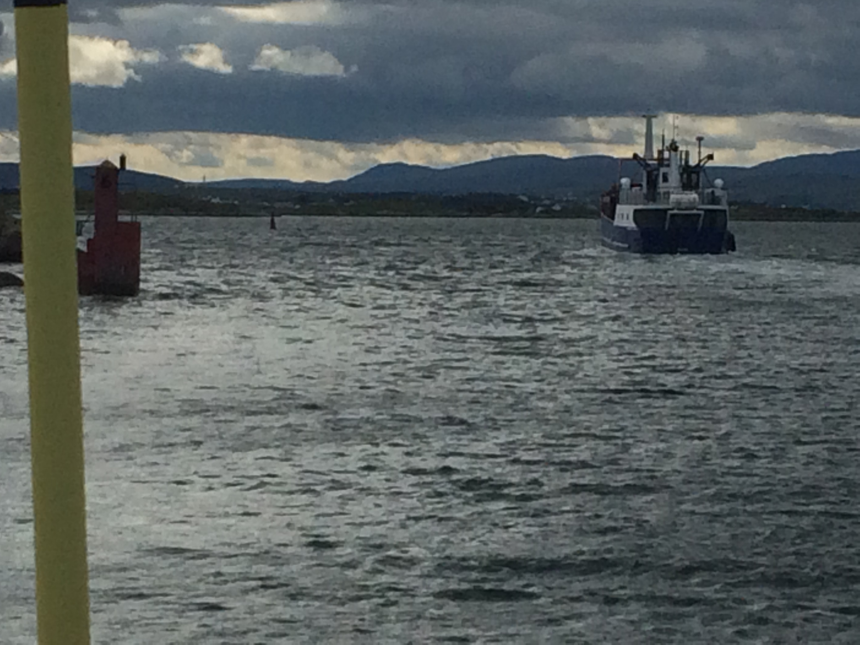
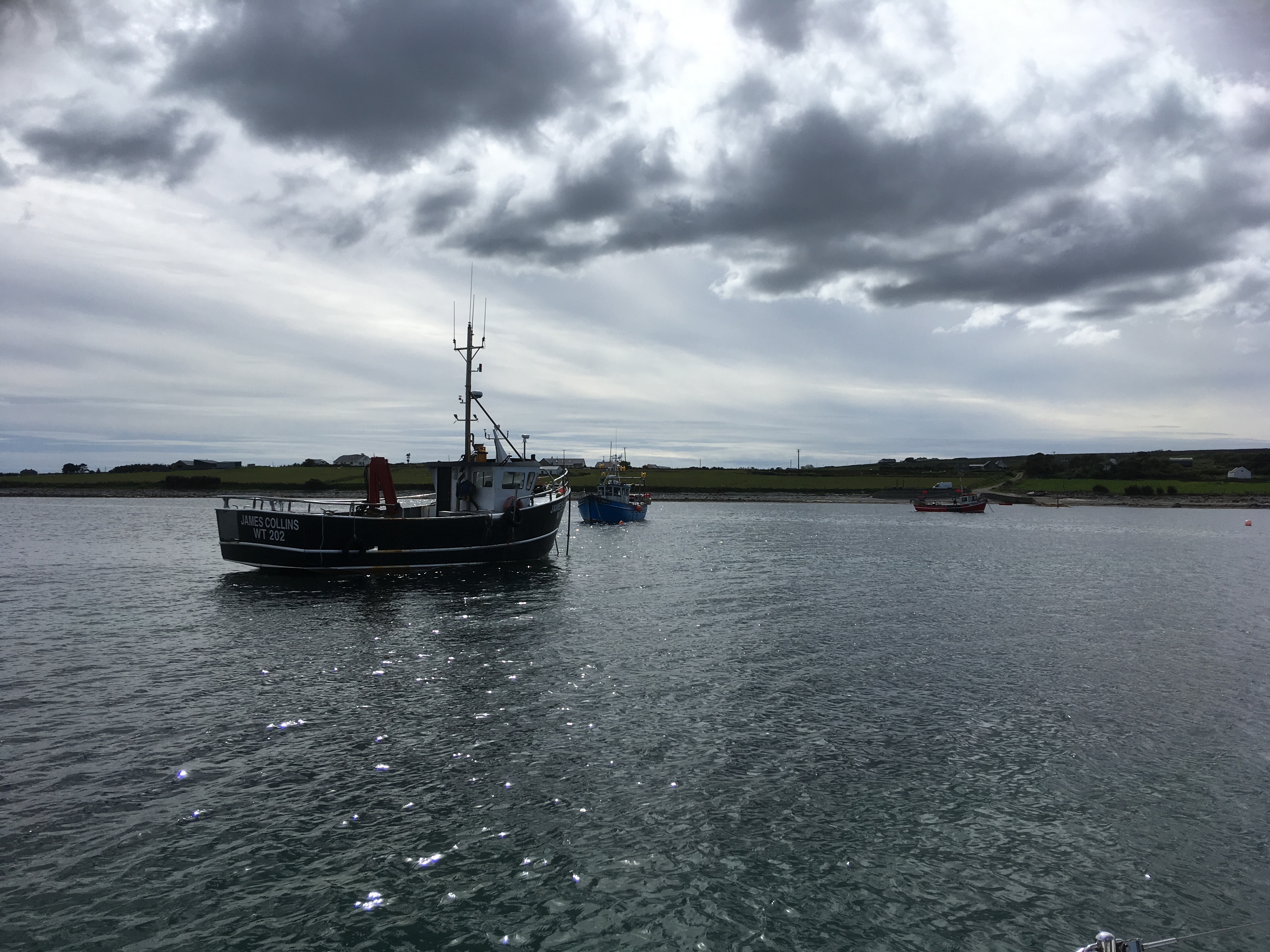
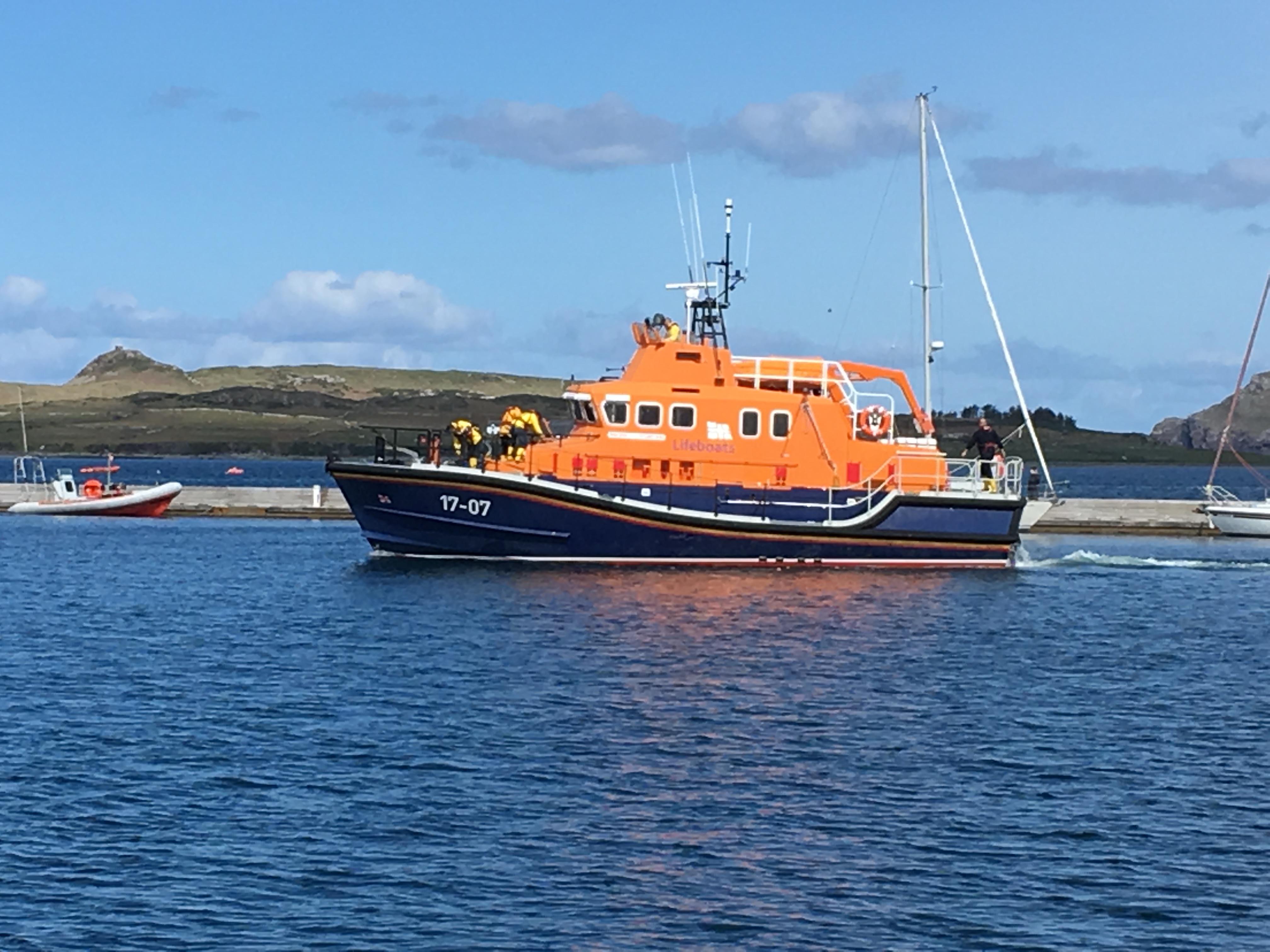
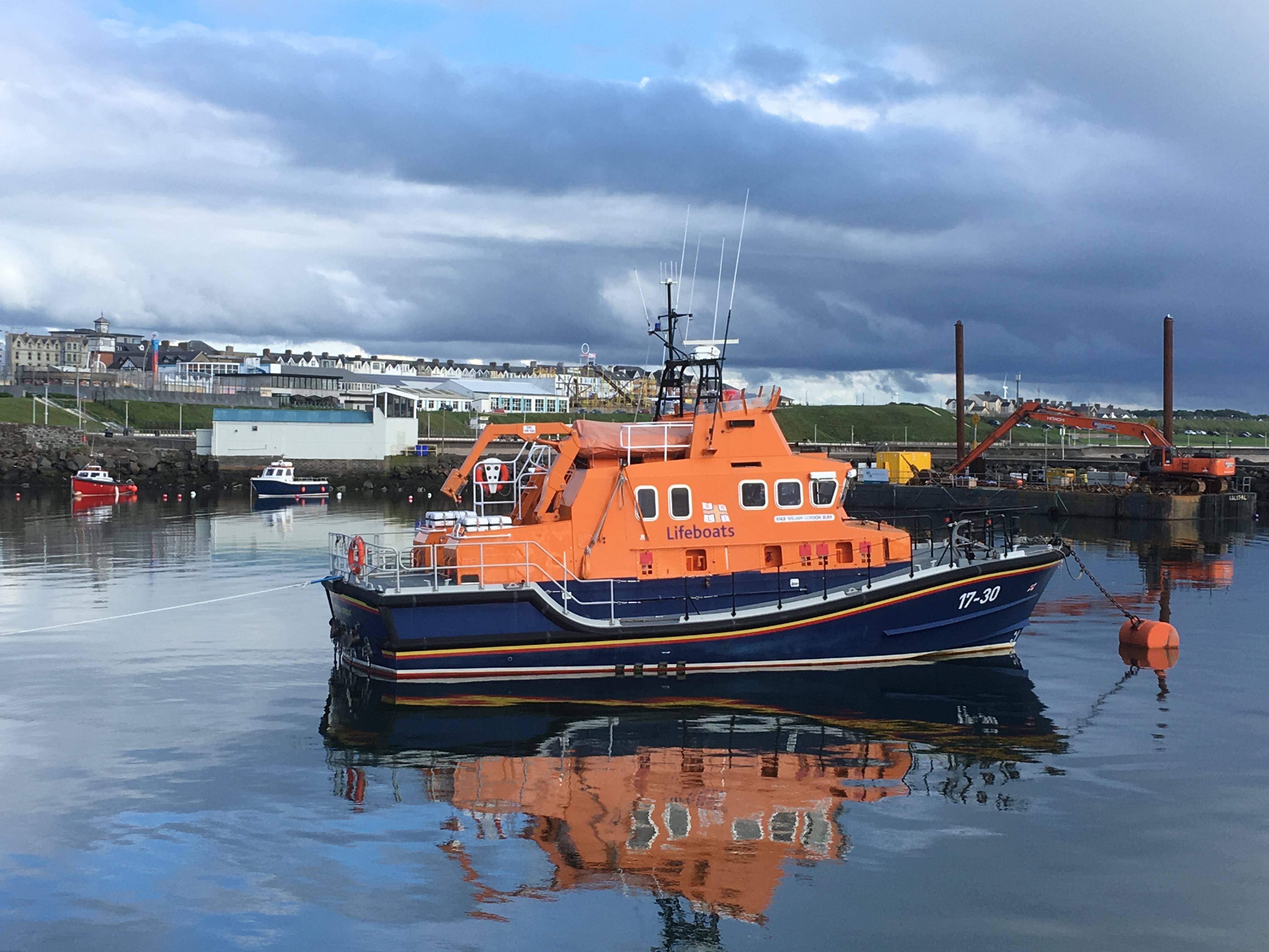
 Dredging was taking place in the harbour with 2 dredging barges, a tug and 2 dumb barges to load the dredged spoil and take it out to sea.  All the local boats except the lifeboat have been moved out to make way for the dredging, which is way behind programme, so the harbour staff were more than happy to see us.  

Portrush Severn class lifeboat

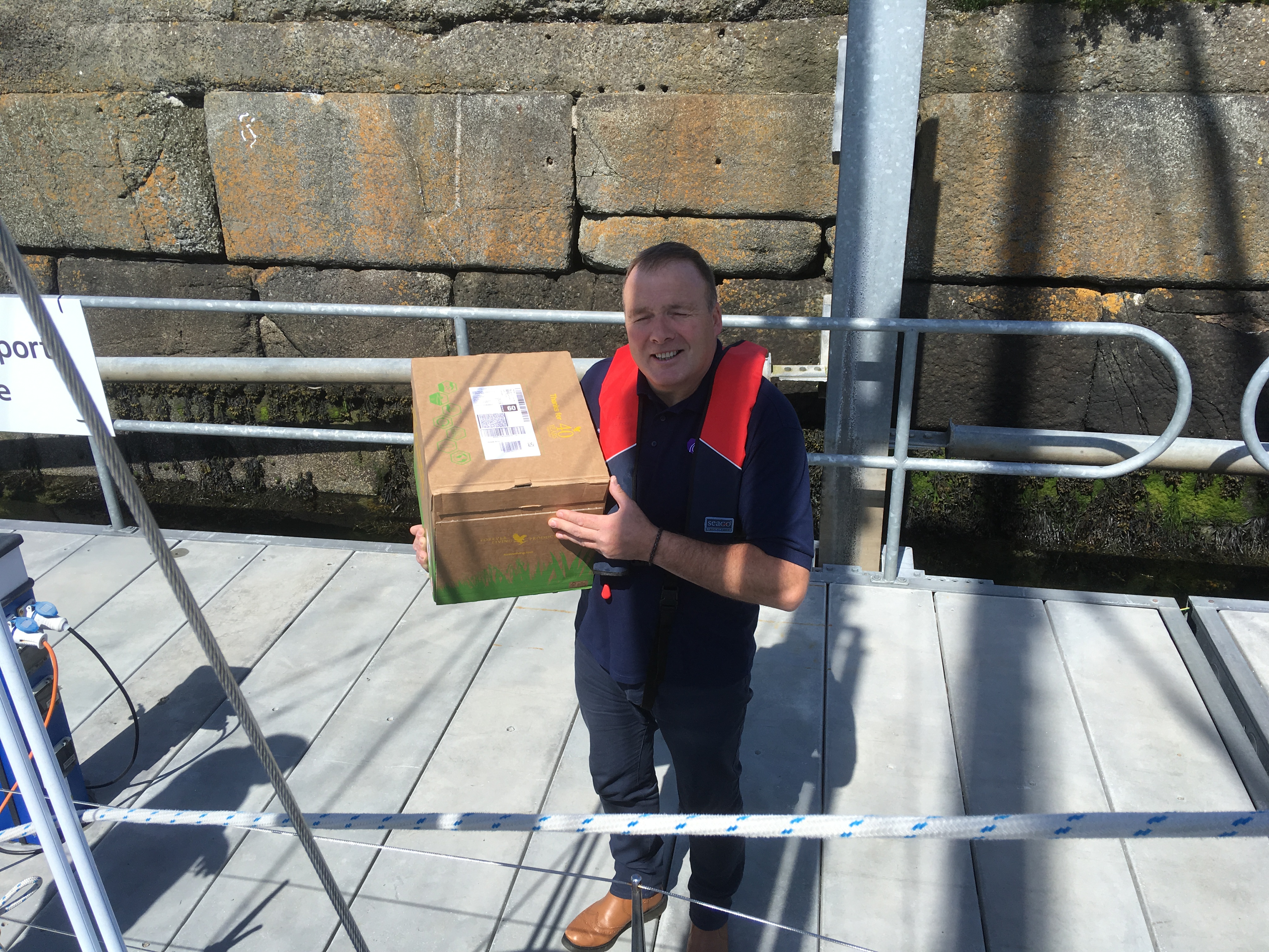
Within an hour of arrival they had sorted someone to have a look at our dodgy Eberspacher, change our empty spare Camping Gaz bottle, arrange a shopping trip,  and take our rubbish and recyclables off us.  They also arranged to have Debbie’s Forever parcel collected from Ballycastle and delivered to Portrush, saving us a trip further east.

Harbourmaster, Kenny, delivers the Forever box

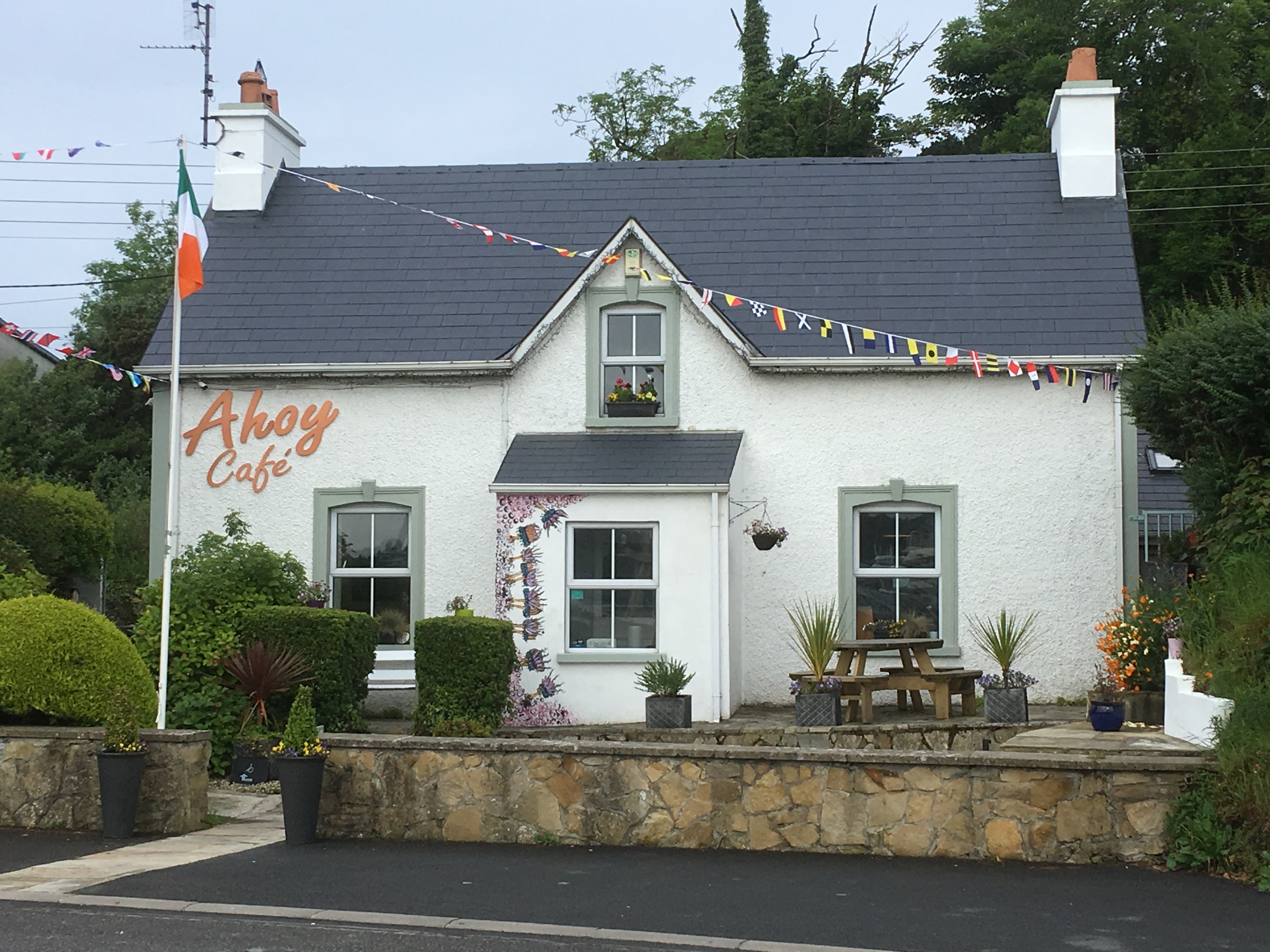
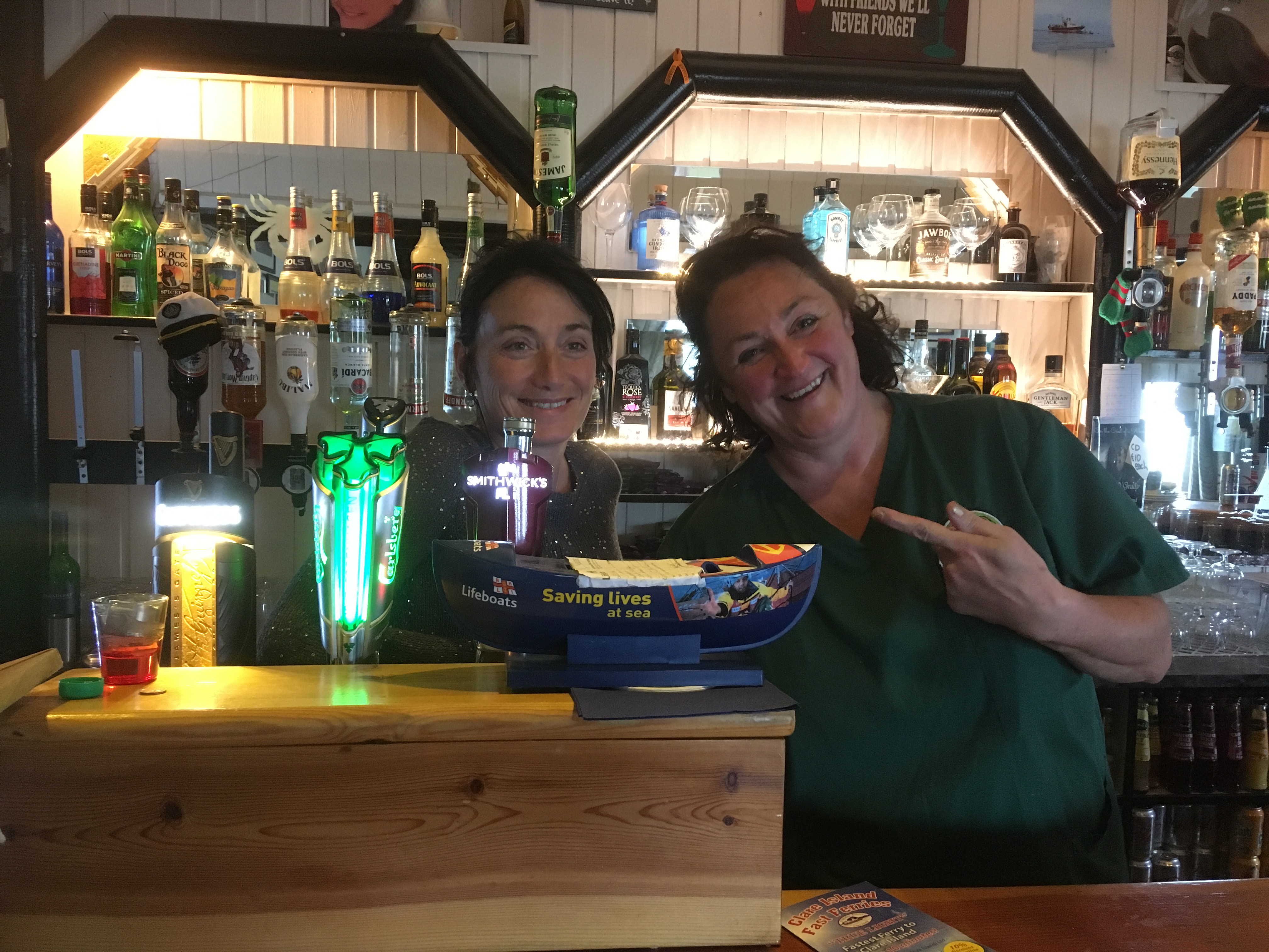
Portrush Yacht Club, on the quay, established in 1894, was very modern and welcoming.  Just the place to have a quick beer before dinner.

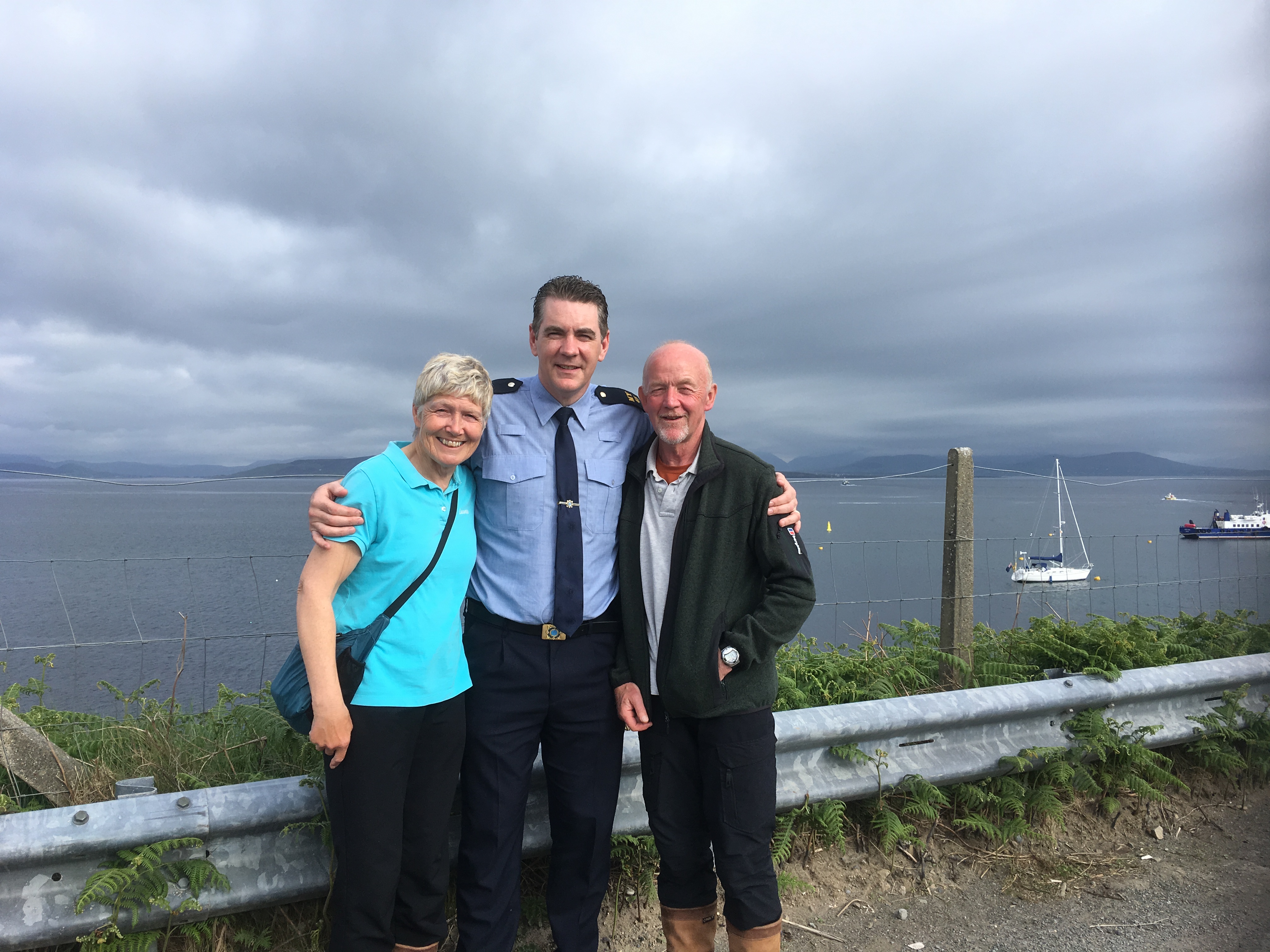
Not long after our arrival Ivan and Ronnie (Veronica) arrived in their Oyster 435 ketch and rafted alongside us.  They had engine starting problems so the engineer tasked to look at our heater was going to look at them at the same time.

The Oyster 435 Graseal rafted alongside us

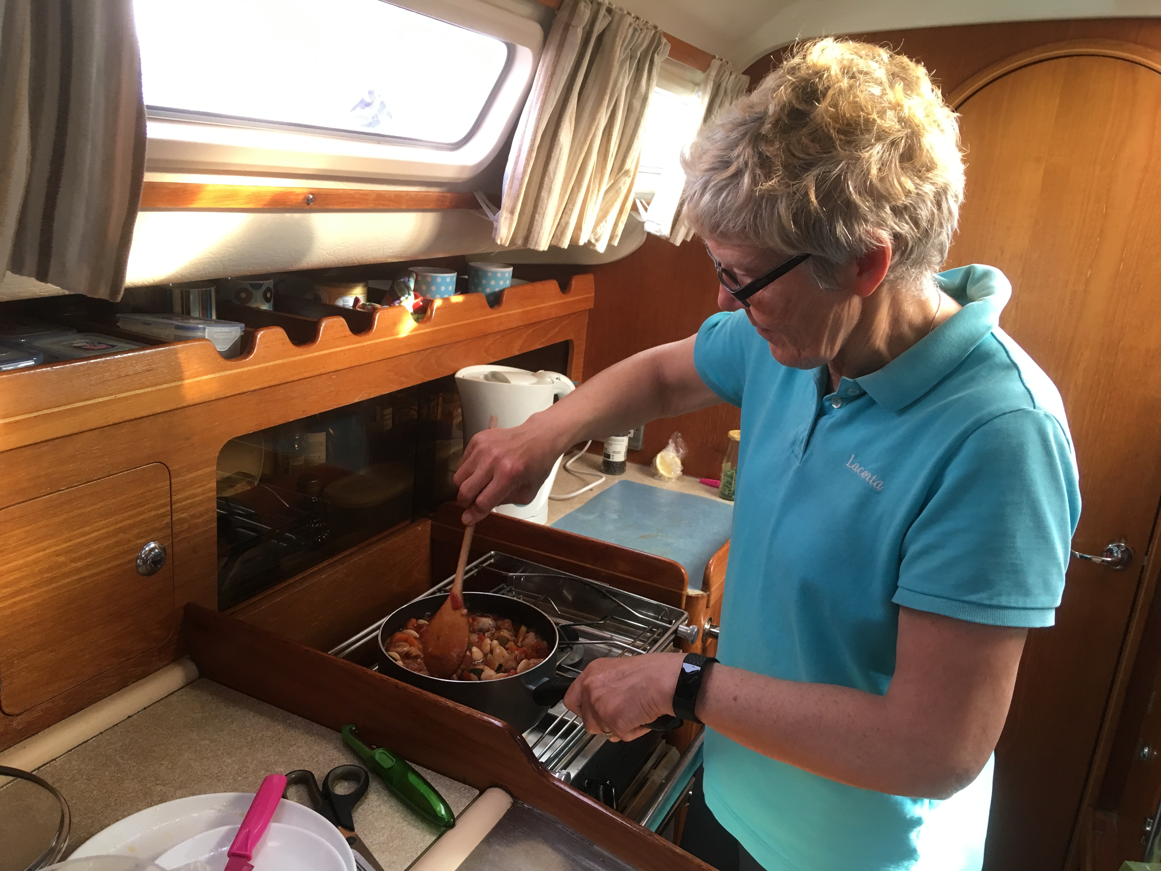
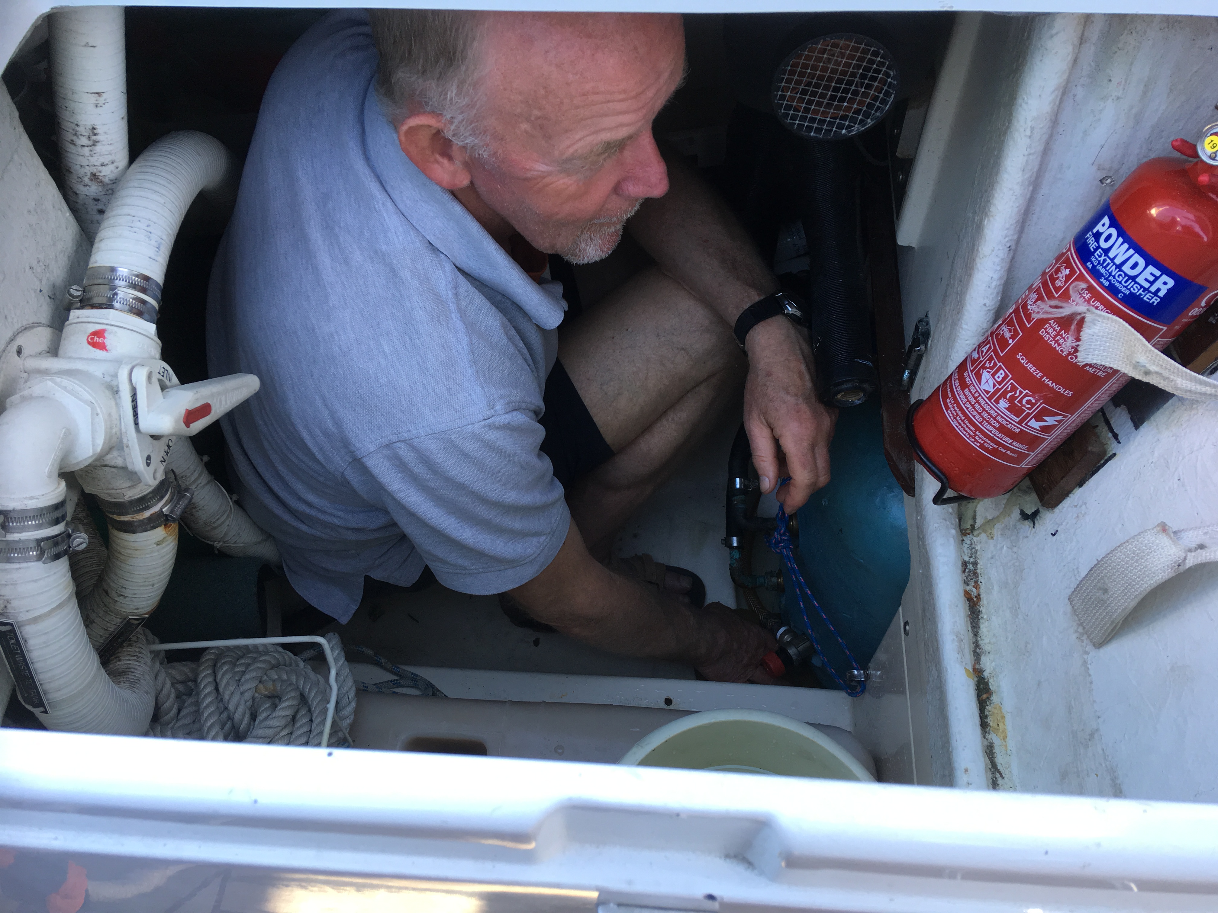
The engineer, Richard, was due to visit on Monday after lunch so Debbie and Ronnie walked to the supermarket while Ivan and David waited for Richard.  The Oyster’s problem turned out to be water in the engine due to a blocked anti siphon loop so they need to do several oil changes to clean out the water and hope there is no lasting engine damage!  Richard diagnosed our problem as dirty electrical connections as Eberspacher are sensitive to voltage variation.  He took all the connections apart, cleaned them and reconnected them.  All looks good so fingers crossed we are sorted.  The girls were collected from the supermarket so we are now stocked up.
After we arrived the wind went round to the North and has been blowing strongly.  We are getting strong winds and bright sunshine while the south of England is suffering from torrential rain.  As our next port, Port Ellen on Islay, is north east of Portrush it looks like it might be Friday before the weather allows us to escape.
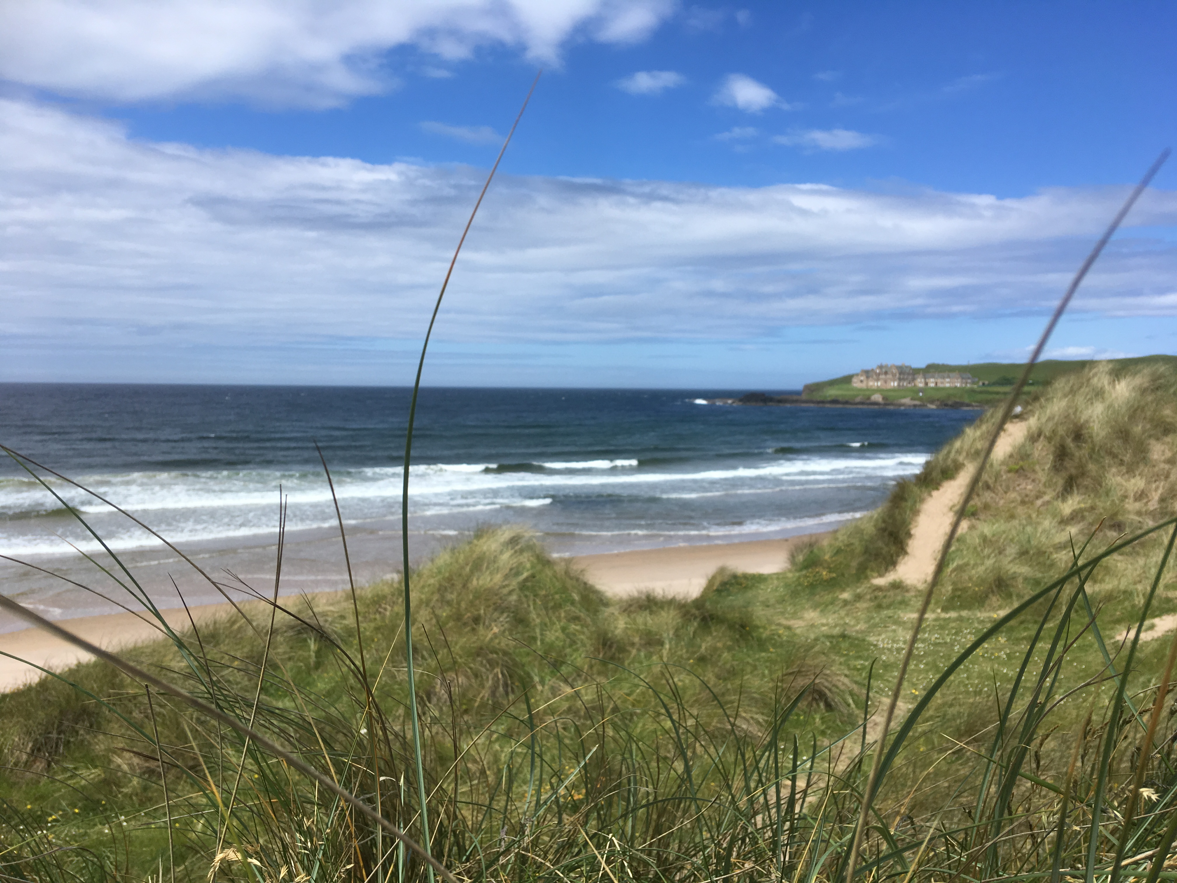
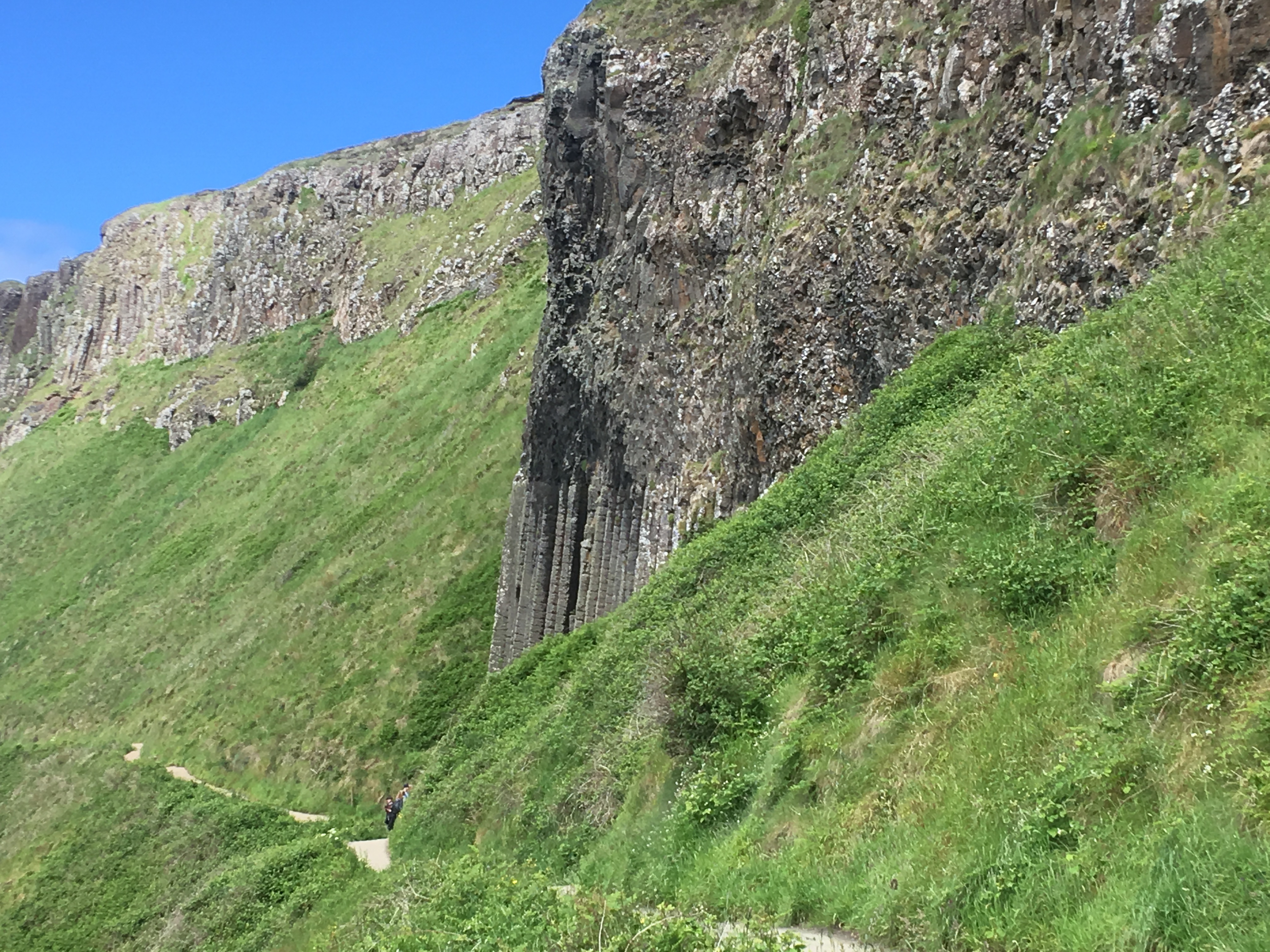
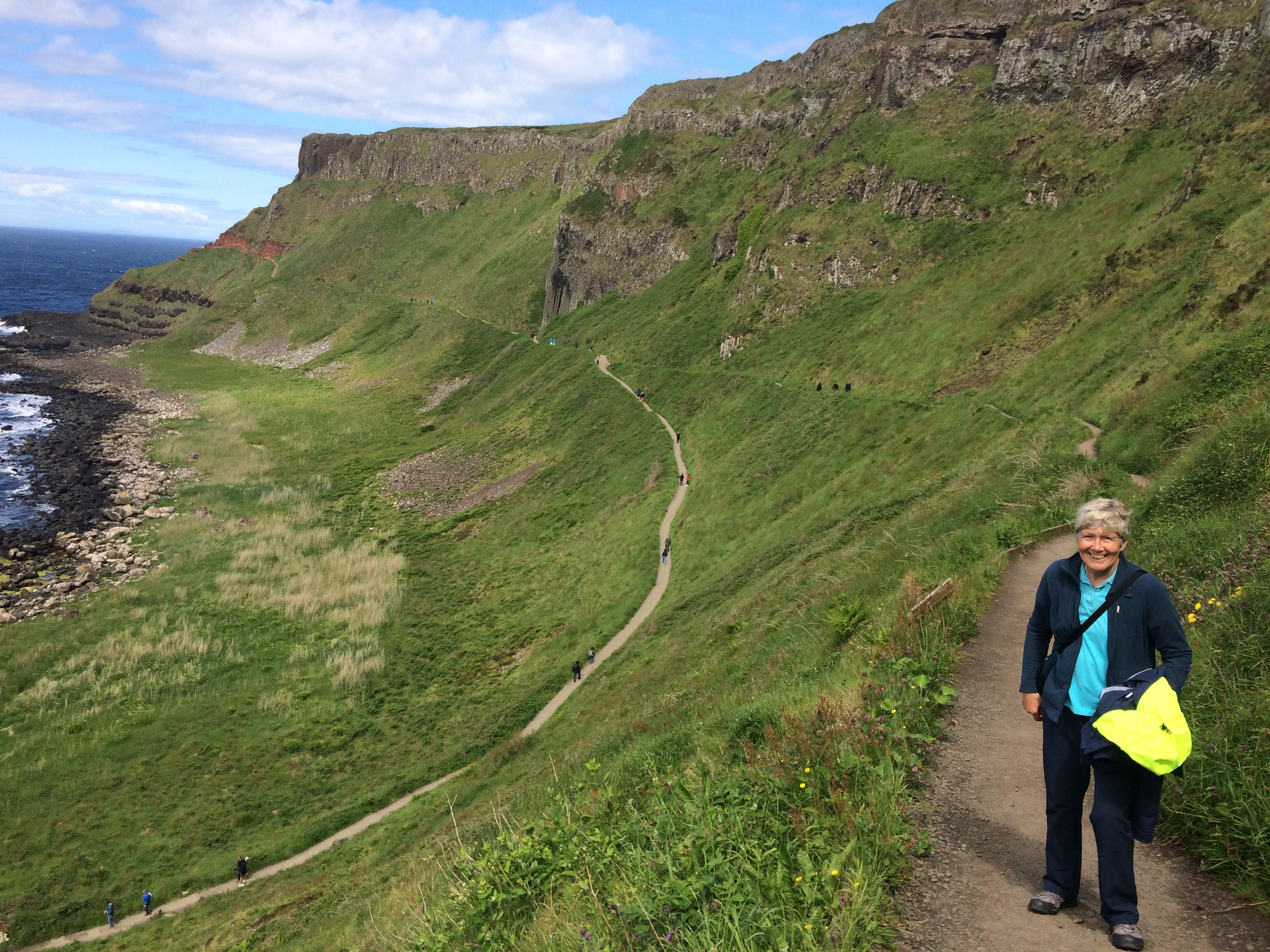
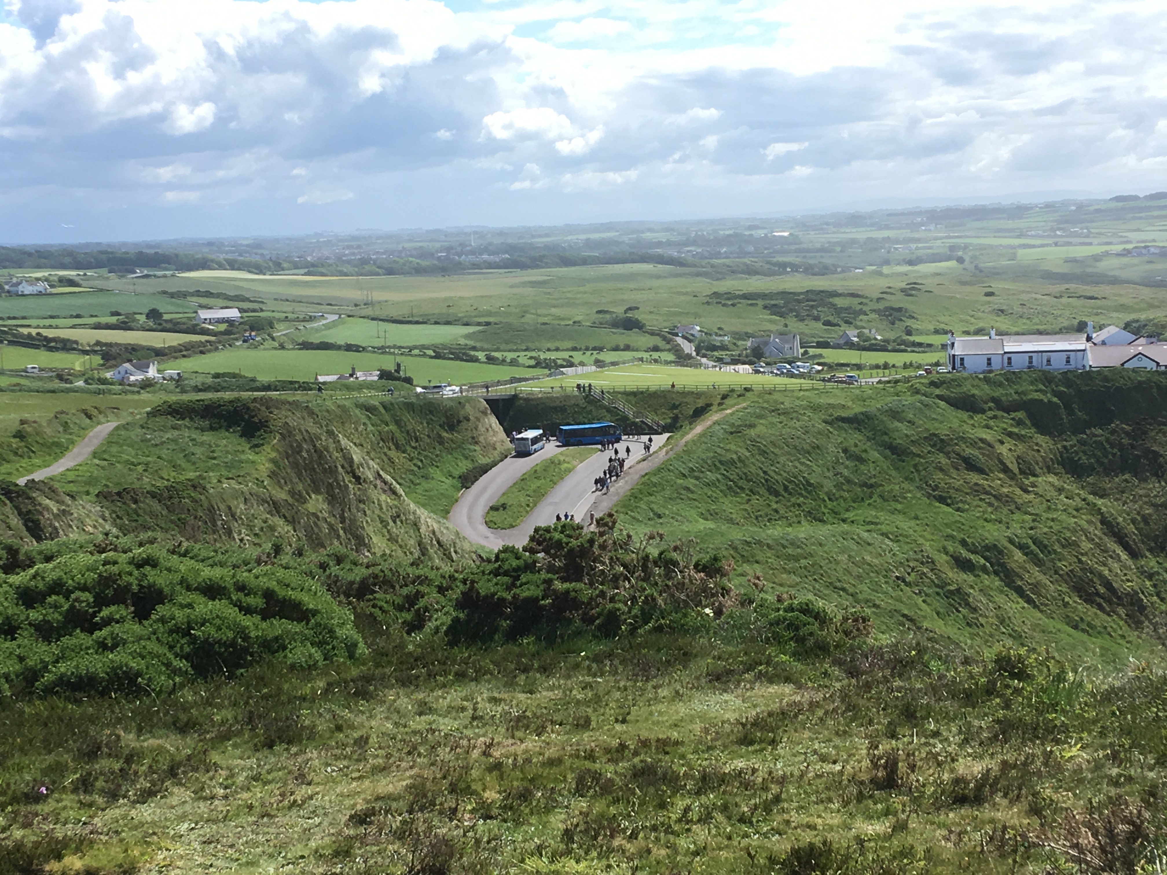
On Tuesday we decided to visit the Giants Causeway.  We caught a local bus to Bushmills and walked the 2 miles alongside the Bushmills to Giants Causeway light railway, a pleasant walk through Bushmills golf course then through sand dunes.  

Walking through the dunes alongside the railway

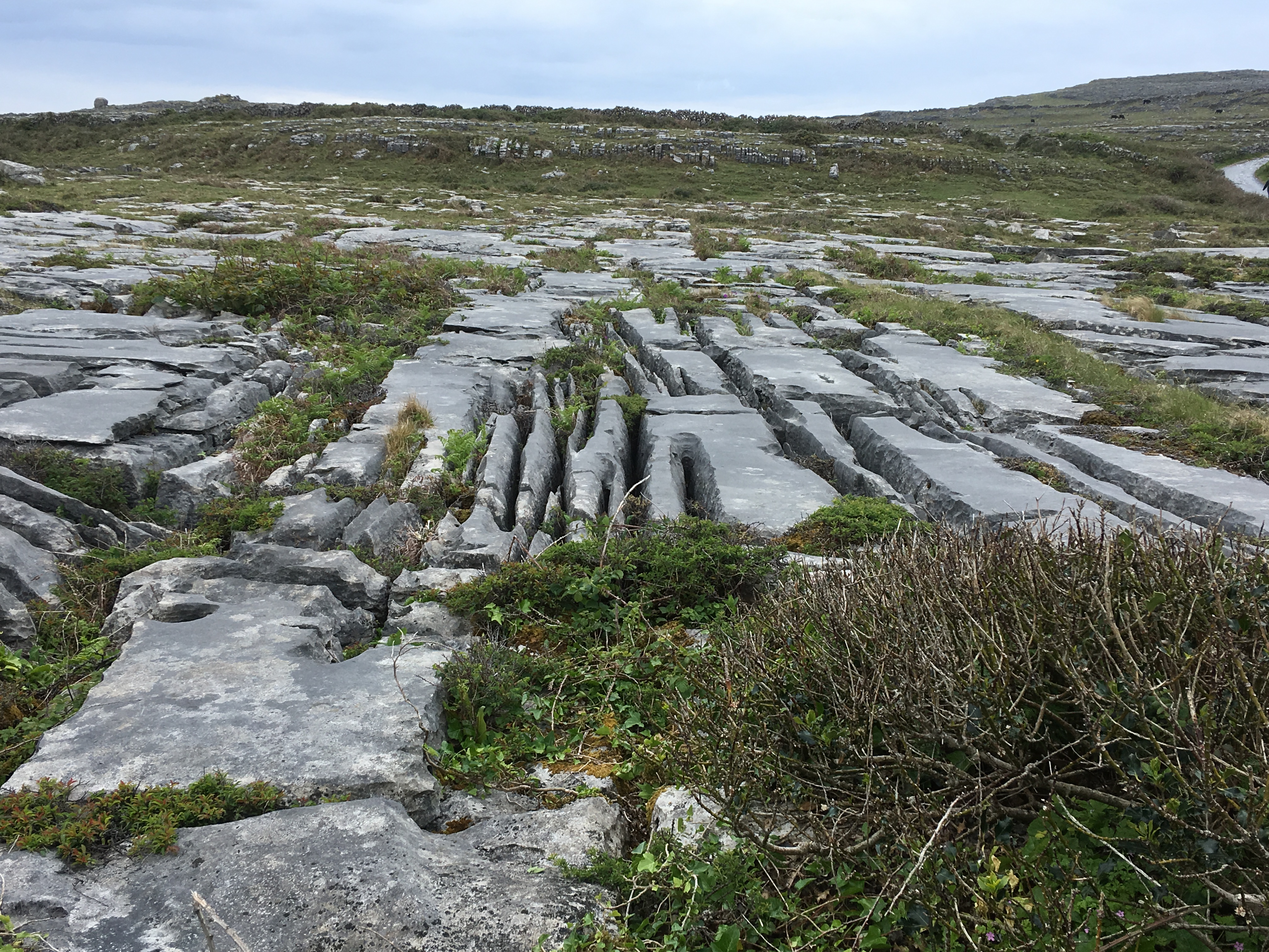
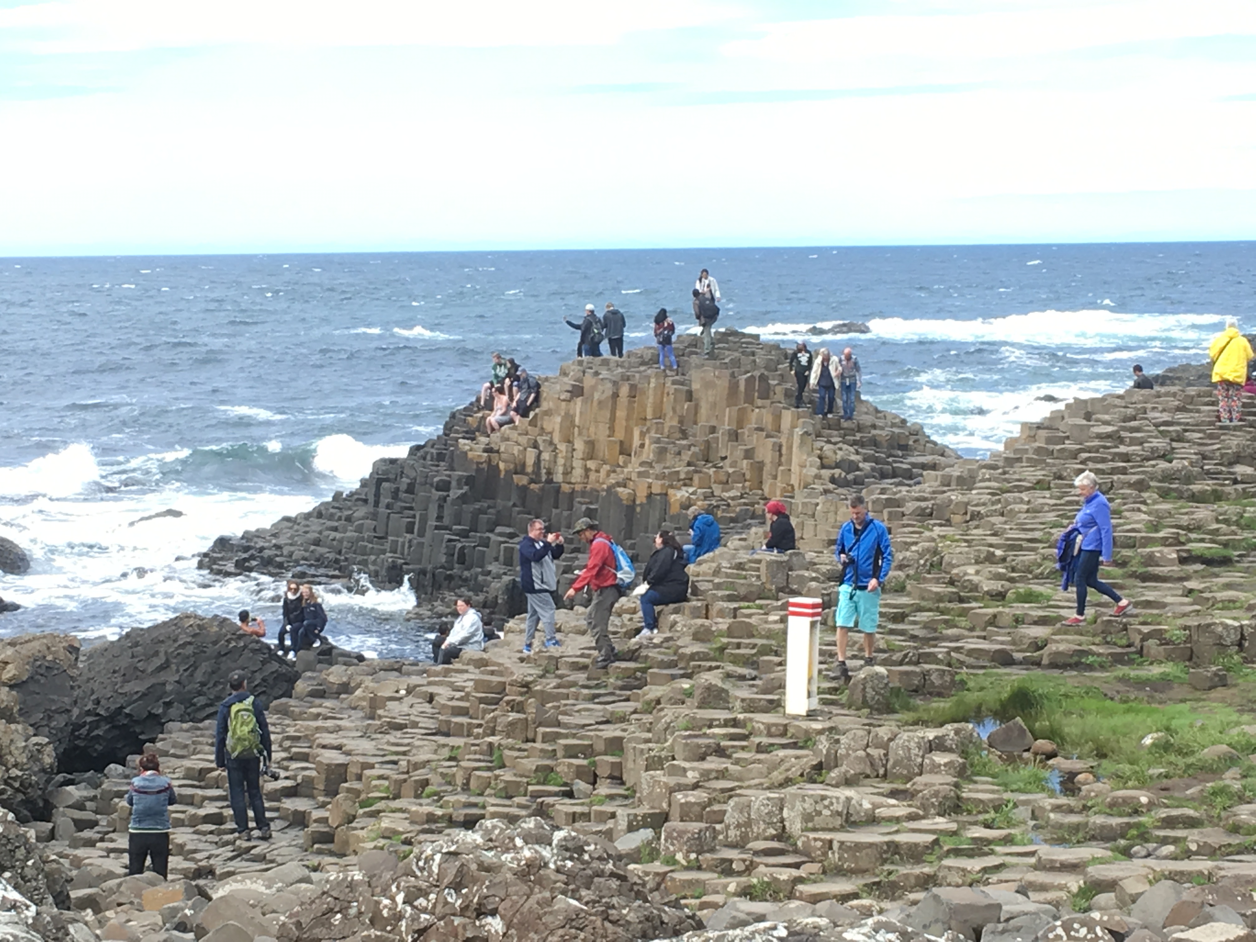
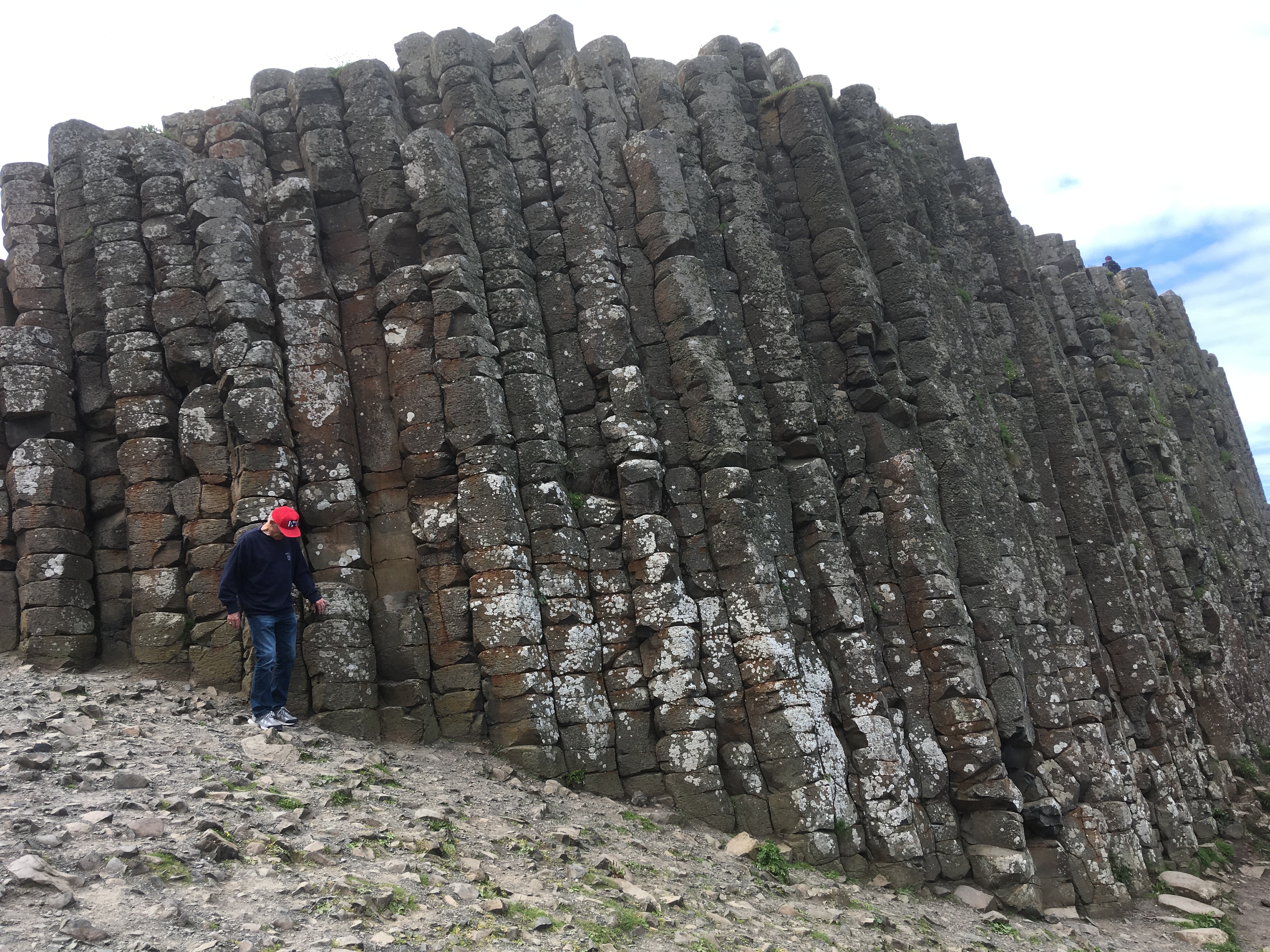
The basalt columns of the causeway were very spectacular although the area was very busy.

The causeway, and lots of people


Basalt columns
Organ pipes in the cliff
The National Trust visitor centre, blending in with the landscape

After an hour or so walking the causeway area we caught a local bus back to Portrush.  The bus passed the Royal Portrush Golf Club with preparation well under way for the open.  Portrush will be a very busy place when that starts.

Cooking up a mega sausage and bean casserole back on the boat.

14. Leaving the west

On Friday morning, with wind from the south, we left Burtonport and motored down the narrow channel to Aran Roads.

Passing the Aranmore car ferry
The narrow channel out of Burtonport

We conservatively hoisted the mainsail with one reef, leaving the headsail until after we passed through all the rocky bits!  

The beacon at the entrance to Aran Roads looking a lot quieter than the previous day!

It turned out that with the tide under us we were making over 5 knots over the ground so we left the genoa until we passed Gola island, when we could alter course and broad reach, rather than dead running.  From then until Bloody Foreland (not me swearing, that’s its name!) was a reach with a good breeze and some tide with us, even some sunshine.

Rounding low lying Bloody Foreland


Passing Bloody Foreland we officially completed our passage around the west coast of Ireland, closed the South and West coast pilot and opened the East and North coast book.  Bloody Foreland was actually quite low lying and nothing like as spectacular as some of the other Heads we’ve been around.  Glen Head gets my vote as the best so far.
The wind started to die and within an hour was calm then within 50 minutes came in from the NE allowing us to sail again, into Sheephaven Bay.  

Horn Head at the entrance to Sheephaven Bay

Pollcormick anchorage
Pollcormick anchorage, east side

The bay is completely open to the North but we were headed for a small bay called Pollcormick, tucked into the SE corner of the bay next to Downings and totally sheltered from SW round to SE.  It’s only big enough for 1 boat to anchor, fortunately no one had got there before us.  In fact, in common with virtually all our passages, we hadn’t seen anyone else all day.  Once we’d anchored and got the covers on we enjoyed tea and tea bread in the cockpit in the sun, our regular end of passage treat!  With loads of hot water in the calorifier David was able to shave off a few days growth and had a beard trim. Out of the breeze it felt almost warm!  Next day we planned a short sail east along the coast then 10 miles up Lough Swilly to Rathmullan.  We could afford a lie in to ensure a favourable tide, something we didn’t have to worry too much about on the west coast but much more important in the north.  We were away by 10.50, motor sailing to clear the rocks on the east side of Sheephaven Bay. By 11.20 the genoa was unfurled and the engine turned off for the rest of the day.  

On passage to Lough Swilly

As the tide was with us even in the lighter patches we were making over 5 knots over the ground so could continue sailing, the only problem being in the lighter patches we weren’t generating much power so the fridge had to go off!  

The lighthouse at the entrance to Lough Swilly

The sail up Lough Swilly took 3 hours, it’s a long Lough!  

The Lough Swilly shoreline

By 16.15 we were tied up alongside the pontoon in Rathmullan over 10 miles from the sea.

The visitors pontoon at Rathmullan

Rathmullan proved to be a pleasant place to stay, we were tempted to stay longer and do some walking but at 20 euros per night on the pontoon with no facilities we decided to move on.  We did manage a nice meal at the busy Beachcomber pub in the company of 4 local sailors who helped with the tidal planning for rounding Malin Head in the morning.  Our original plan was to aim for Portrush, 39 miles away, but were told that the harbour was being dredged and would be closed so Greencastle, at the head of Lough Foyle, became the alternative. Both destinations needed a start 2 hours before local high water, 09.35 according to our friends.

Evening at Rathmullan

13. More bad weather

Church Pool turned out to be a well protected anchorage from the SW gale, which arrived as forecast.  The mooring had little swell and no current so we stayed head to wind.  The wind really howled, heeling us over in the gusts but we still managed to get some sleep.  No chance of getting ashore though.

Church Pool, the calm before the storm.


After our second night the forecast was for the SW wind to be force 4 to 6, moderating to to force 3 to 4 later but then becoming N force 4 to 5 overnight.  Church Pool was totally open to the North. Time to move on.  

On Monday we aimed for the anchorage in Aran Roads off Aranmore, which had some protection with small islands and rocks north of the anchorage.  As the passage was only 17 miles we hung on until mid afternoon for the wind to moderate but it was still quite strong when we had to go, the seas were also pretty big.  With 2 reefs in the mainsail and 3 in the genoa we were still reaching at over 7 knots, a quick passage.  Passing west of Aranmore we entered the roads through the easier North Sound and picked up a visitors mooring just after 18.00.  

Aranmore from the anchorage
Aranmore anchorage – the visitor moorings are a long way out!

The wind was still westerly so the mooring was reasonably quiet.  By the morning the wind has started to go northerly but no big seas.  We took the dinghy ashore to do a little shopping and called in at a little cafe, run by Margaret, a Polish lady, for tea and take away paninis for lunch.  The cafe was attached to a hostel run by Margaret’s partner, Sebastion.  Margaret kindly offered us showers in the hostel so we headed back to the boat for lunch and to prepare for an afternoon walk and showers. Motoring back to the boat into the wind was a slow process, steering around the bigger waves so we didn’t get soaked.  We realised that the moorings were quite a long way out.  Nevertheless we arrived safely back on board, were fed and back on shore for our afternoon walk towards the lighthouse on the Northern tip of the island.  We didn’t quite make the lighthouse, turning off at the islands drinking water reservoir to make a circular walk.

Cross country on our circular walk

At the reservoir is a memorial to the several hundred emigrants who left the island for Beaver Island on Lake Michigan in the USA.  

The memorial in the lake

Rainbow trout were introduced to the reservoir in the early 1900’s and now breed naturally, one of the few lakes in Europe where this happens.  Cutting across to the north east shore we saw lots of peat cutting, which still takes place on the island, before making our way back to the village and our hot showers, bliss!

Peat cutting


By this time the wind and sea had increased. It was obvious that we were going to have a much slower, wetter trip back to the boat.  Some of the locals doubted our sanity but we didn’t really have much option.  Back on board the boat was pitching quite a bit so we opted to get the engine off the dinghy and lift the dinghy onto the deck in case things got worse. Wise move!  By taking it carefully getting the boat on board and lashed down on the foredeck was achieved without any drama.  We went below for dinner and settled down for the night, or tried to.  The wind got stronger and big rollers were coming into the anchorage.  We got little rest and no sleep.  As soon as it was light enough we got our wet gear on and dropped the mooring to head into Burtonport, a fishing village on the mainland and the mainland port for the Aranmore car ferries, which is accessed through a narrow channel surrounded by rocks, well marked but still not a first time visit for the faint hearted!  Nevertheless, in half an hour we were in the shelter of Burtonport pier, tied up to a fishing boat with the boat still again.  We were soon down below out of the rain, back in bed we slept the rest of the morning.

Alongside fishing boats at Buttonport


Although we were tied to a fishing boat, which was tied to a bigger fishing boat, which was tied to the pier we couldn’t get ashore as the inside boat was being blown off the pier leaving a metre gap.  We opted to launch the dinghy as it was only a short row to the landing steps and we then didn’t have to climb over greasy fishing boats.  

Both car ferries at Burtonport

David’s first trip, still in the rain, was to the information office to get details so we could contact the harbourmaster.  Patrick, the harbourmaster, wasn’t in Burtonport as he was responsible for several small harbours in Donegal but he confirmed by phone that we were OK to stay where we had berthed.  We got details of toilets and the free shower!  There were restaurants and a cafe close to the harbour but the nearest shop was at a petrol station a couple of kilometres up the road. We walked there in the rain to get some basics like bread and milk.  The main supermarkets were in Dunglow, which we were told was 4 kilometres from the harbour.  We planned to walk there the next day, Thursday 6th, and do a major shop with a taxi ride back.
The rain eased off in the evening and into the following morning, the sun allowing us to dry some of our gear.  Unfortunately, in the morning, the Eberspacher decided not to work again so we were still a bit damp.  We finally met harbourmaster, Patrick, who agreed to take our rubbish and recommended a visit to Rathmullan on Lough Swilly, another of his harbours.  We topped up the water tank with trips ashore with jerry cans then had a hot lunch at the cafe (burger and chips nearly defeated David) before setting off on our walk to Dunglow.  By this time it was raining again and we were soon to find out that the 4 kilometre distance was wildly optimistic,  8 kilometres was more realistic!  By the time we got to Supervalu we were pretty tired and soggy.  Debbie joined the queue at the information desk to check that we could get a taxi back before we started shopping and got in conversation with a nice lady, Margaret, who offered to give us a lift back to Burtonport, what a saviour!  Margaret and husband John refused our offer of a cup of tea at the cafe as they had grandchildren to collect so we offloaded the shopping and adjourned to the cafe for tea and ice creams!  The rain eased off, allowing us to dry out a bit more, although our walking boots were going to take quite a while to fully dry.  Not many photographs of our time in Burtonport, too wet!
The weather was looking better for a move further north in the morning so we got ourselves sorted for moving on.

12. Busy going nowhere

As predicted in the last post, we were stuck in Elly Bay for 3 days.  We had some short, sharp, rain squalls but in the main it was sunny and very windy, force 6 to 7.  The anchor chain was bar taught and windsurfers were having a great time,  the relatively shallow water and little short waves suited them.  

Windsurfers at play

Fortunately the phone signal was pretty good so Debbie was able to communicate with the rest of the world rather than just me!  A few jobs got done and plenty of reading.

We’ll have to dive for the pot of gold!

When the wind finally eased enough for us to leave we had options involving getting around Erris Head and making our way along the South side of Donegal Bay before making the long crossing of the bay.  The decision was made for us when we came to get the anchor up.  CQR anchors like sand and firm mud and ours loved the bottom of Elly Bay!  When the cable was vertical the windlass circuit breaker tripped out.  With some forwards and reverse on the engine we eventually broke out the anchor but the windlass would not re engage so we had to get the last 5 metres up by hand.  We couldn’t contemplate the rest of the trip with no windlass so we needed a harbour that was likely to have marine engineering facilities.  Killybegs, as the main Irish deep sea fishing port seemed to fit the bill and it had a small marina.  This was too far to do in 1 day so we opted to break the passage up by stopping overnight in Ballyglass, deep into Broadhaven Bay on the South side of Donegal Bay.  

Deep sea trawler passes close off Erris Head

Choice made mainly because Reeds said there were visitors moorings so we would not have to use the anchor.  We did not find any dedicated visitors moorings so picked up a buoy in amongst the local fishing boats.  

Moored amongst the fishing boats at Ballyglass

As the tides were neap tides we had just enough water to stay afloat at low water.  Ironically Blacksod Bay and Broadhaven Bay are almost back to back so we sailed 30 miles and ended up a couple of miles from where we started!  But we have got another headland, Erris Head, out of the way.
We were up early the next morning for the 60 mile trip to Killybegs and were expecting a close reach all the way in a SE wind varying from force 2 to 5, pretty much what we got.

Porridge for breakfast under way

 On the East side of Broadhaven Bay we passed close to the Stags, pretty impressive peaks of rock rising out of the sea and spectacular cliffs on the shore.  

The Stags

As the passage progressed it became more and more misty, which eventually turned to rain so for most of the trip we could see nothing and the wind strength varied so we were reefing, shaking reefs out or motor sailing at times throughout the trip, at least it kept us occupied.  Approaching Killybegs Debbie was able to contact the harbour and also get contact details of a marine engineering company, KER, who agreed to have someone visit us at 0800 the next morning to look at the windlass.  All looking very promising apart from the persistent rain.


Killybegs has a marina?  Depends on your definition of marina.  Killybegs has some pontoons with secure access.  That’s it!  No facilities whatsoever, no toilets, no showers, nothing!  The pontoons have power and water but the power posts all have 32 amp sockets and 16 amp 110 volt sockets, both of which are useless for the average yacht.  

On the visitors hammerhead pontoon

The main harbour office is a half mile walk away and they do not have adapters to allow 16 amp 240 volt sockets to be used.  They did suggest where we could buy an adaptor but we declined as it would probably never be used again.  Just to add to our woes the phone signal was rubbish and there was no WiFi!  Not on our favourite places list but we were stuck there for a couple of days getting the windlass fixed.  By the way did I say it was raining?  For two days it rained non stop.
We did have some saviours.  Pauric (apologies if I’ve spelt it wrong) arrived from KER, checked the windlass control box and breaker, all OK, and removed the windlass to take back to his workshop.  He returned with an adaptor so at least we had power and the power box had money left on it so we didn’t have to buy a card.  We got showers in the local Tara hotel, a hot shower without worrying if the time was going to run out was bliss.  WiFi was provided by the Ahoy Cafe, close to the entrance to the pontoons.  

The Ahoy Cafe, our source of WiFi, tea, cakes and shelter from the rain!

Tea and cakes while catching up with the internet was great and Claire didn’t mind us coming in dripping all over her floor!  Viv, who runs the local launderette kindly brought the completed washing back down to the harbour for us and Debbie managed to get a couple of lifts to the main, out of town supermarket and I got a lift with one of the harbour staff to get a couple of cans of diesel.  Helpful, friendly people makes a big difference..
The problem with Killybegs is it is quite a prosperous town on the back of the deep sea fishing fleet, and some of these trawlers are big!  

Deep sea trawlers in the rain

But fishing is changing and is not bringing as much money in as it used to.  The town hasn’t yet got it’s head around tourism as an additional revenue earner.  A cruise ship was due in after we left.  It would be interesting to see what the passengers think about the place.
Back to our windlass.  Pauric stripped it down and found the problem was due to some internal corrosion.  By mid morning on the 2nd day (Friday) the windlass was back in the boat and tested.  A good job done although the labour charge was eye watering!
By Friday afternoon the rain was showing signs of easing off as the weather front passed through so we prepared to continue Northwards.  A deep Atlantic depression was forecast for overnight on Saturday and during Sunday so we needed shelter from south east through to west.  Our choices were Aranmore (N Aran island) or Church Pool, tucked behind Inishkeel.  We opted for Church Pool as we were advised that Aranmore would be heaving as it is an Irish bank holiday weekend, the passage would be 10 miles shorter and the anchorage was very sheltered.  
We left Killybegs on Saturday morning in a SW breeze which varied from 7 to 15 knots, needing a push with the engine from time to time.  Approaching Rathlin O’Birne Sound at the North end of Donegal Bay we saw the cruise ship on her way to Killybegs.  

Carrigan Head, before Rathlin O’Birne island

Turning North we passed Glen Head, with it’s fantastic cliffs, then low lying Davros Head before turning East for the last few miles to Church Pool where we found a visitors buoy well tucked into the bay and sheltered from swell.

Glen Head sea cliffs

This rock is a chinaman!

 The sandy beach looks very tempting and we can read the name of a restaurant on the shoreline (with binoculars) but we are now sitting out the forecast SW gale force 7 to 8 and awaiting the imminent gale 8 to strong gale 9 this afternoon which should ease off overnight.  

Church Pool, the calm before the storm.

Busy going nowhere again!  It’s dry, we have good phone signal and some internet so we can catch up on the things we couldn’t do in Killybegs.  We might even be able to post this blog.

11. Inishbofin and Clare Island

With our calorifier problems sorted we loaded all the kit back into the cockpit locker and had a quick run ashore before dinner.  We tried the community centre for showers but it was closed.  We somehow found our way into the beach bar for a beer!  After getting the low down on what to see and do from Muireann, behind the bar, we decided to stay another day and do some exploring.
Wednesday started with a couple of trips ashore filling up water jerrycans and topping up our tank followed by a visit to Cromwell’s fort, overlooking the harbour entrance and only accessible by dinghy.  

Low tide blocking access to Cromwell’s fort.

The fort was quite complex with many protected walkways around the perimeter where soldiers could move around without getting shot at!

The front door to Cromwells fort
Internal walls
Cannon positions

 We played the ecological tourist and collected a bag full of plastic rubbish off the beach, only to find that we then had no means, other than paying, for disposal!  

Eco warriors – collecting plastic off the beach

Fortunately the Beach Bar agreed to add it to their waste.  The Pier shop was our next visit for food.  We were in the shop when a delivery of freshly baked cakes arrived so were forced to buy a bag of fresh scones.  

The Pier shop, Anneka and the lifeboat box

We were after fruit cake, none in this delivery but learnt that the Doonmore Hotel, run by the same family that did the baking,  a little way down the road had 2 left.  That settled our first stop off on our walk!  We found the community centre open and booked showers at 17.15. 
We were recommended to walk the west quarter of the island and were not disappointed.  The southern side was rugged hills populated by sheep with some splendid beaches and views to other islands.  

Offlying rocks and islands

The western end had some steep cliffs and rocky outcrops in the sea.  The seal colony supposed to be residing there had gone away!  The land flattened out as we headed along the north side mainly becoming peat bogs with rocks left from the melting glaciers at the end of the ice age.

Peat bogland

 Our walk ended back where we started, at the Pier shop for a welcome ice cream.  Back on board for a brief rest and it was time for showers but, the man at the community centre had forgotten to turn the boiler on!  He agreed to stay on after his finishing time for the boiler to warm up but after 3/4 of an hour all we got was a VERY lukewarm shower, which we were not asked to pay for.  Dinner at the Beach Bar made up for the shower disappointment,  slow cooked lamb shoulder and slow cooked rib of beef hit the spot and excellent WiFi allowed us to finish and post blog 10.
Debbie wanted to visit Clare Island, only 16 miles away so we didn’t have to rush in the morning.  A good job as it was raining.  We had a quick run ashore with the rubbish then set off in 15 knots of SE breeze which unfortunately didn’t last, dropping down to 5-7 knots but as we had tide with us and were making nearly 5 knots over the ground we sailed on.  The rain stopped as the wind dropped so it was quite pleasant, the engine going on for the last 1/2 hour when we lost the favourable tide and we picked up a visitors mooring at 15.30.

 Tea and home cooked scones with jam in the cockpit in the sunshine was a fine end to this short trip.

Tea and fresh scones


We got the dinghy over the side for a run ashore.  We had been recommended to visit the Sailors Bar, a short walk from the harbour but before that, just behind the piers, was Grace O’Malley’s Castle.

Grace O’Malleys castle overlooking the harbour

 Clare Island was the stronghold of the O’Malley’s.  Grace was known as the pirate queen and the clan would raid passing shipping.  It is said that Queen Elizabeth 1st got so fed up with the pirates raiding her ships that she summoned Grace to London.  She went to London but refused to kneel in front of the queen.  Nevertheless, she was given the queens pound and agreed to leave Elizabeth’s ships alone! (Another story is that she went to London to petition the queen for the release of her brother, captured by the English).
Next stop the Sailors Bar.  The bar was being prepared for a wedding taking place the following day when it would not be open to the public.  Good job we opted to visit as soon as we arrived.  

A welcome pint!

Over a beer we met Rory Brennan.  Rory is a sergeant based in the garda station in Louisburgh on the mainland and was on the island to watch over the ballot boxes for the European elections, for some reason the islands vote a day early.  He was getting something to eat while waiting for the boat from Inishturk to pick him up.  He was really interested in our trip but was amazed that we could put up with each other’s company for so long!  

Rory not arresting us!

The wedding preparations were going on around us and it turned out that Rory knew the bride’s family so another round of introductions was needed! A quick drink turned into a pleasant hour or so chat.  We eventually had to escape to get back on board for dinner.  As the forecast was for another day of light winds we opted to spend another day exploring the island.
Our exploration was split in two.  Firstly a walk along the south coast a couple of kilometres to the island shop and to visit the island’s abbey where Grace O’Malley (or at least bits of her) is buried, there are certainly a lot of O’Malley headstones in the graveyard but Grace’s burial place is inside the chancel.   

Grace O’Malleys resting place.

The abbey is actually too small to be properly regarded as an  abbey but it contains rare examples of frescoes which have been partially restored (no photographs allowed). We walked back to the boat for a late lunch,  watched the ferry arrive decorated with flags and bunting and carrying wedding guests, and headed off up the east coast.  The topography was much more rugged than the south coast with steep hills to the west of us and a steady climb as we walked further north.  

Steep hills to the West

The island had been heavily wooded in the past .  We walked past an area where Scots pine, killed by temperature and climate changes 7500 years ago and preserved in the peat bog, had been exposed by peat digging.  

Ancient Scots pine forest

The current almost tree less landscape is a result of human activity but trees are now becoming re established.  We couldn’t quite face the full walk to the lighthouse on the northern tip and so made our way back to the harbour. 
We called into the community centre for a quick drink.  Despite this being the only public bar it was empty as virtually the entire population of the island was at the Sailors Bar for the wedding celebrations! Despite, or perhaps because, we were the only customers Sharon and Maureen made us very welcome.  Sharon had got some fresh Pollack so we decided to eat as well as drink, an excellent choice.  Fresh fish well cooked.

Our cheery bar staff, Sharon (pointing) and Maureen


We had a relatively early start next day for a 32 mile trip to Blacksod Bay.  The forecast was SW force 3 to 4 so we were expecting a good sail.  As the day went on the forecast changed, starting to show strong winds (up to force 6) in the afternoon with a small craft warning for force 6 continuing into the night and into Sunday.  We had our good sail but missed all the scenic coast views, including the cliffs at Achill Head as it was misty,  we saw very little of the coast on the entire passage.

Clare Island lighthouse disappears in the mist


If the forecast is correct we may be in Blacksod Bay for a couple of nights before moving on northwards.  We opted to anchor in Elly Bay, which is the most sheltered spot according to the pilot.  It is also very remote.  

Elly Bay remote anchorage

We are anchored some way offshore as the bay is relatively shallow. As it is partially landlocked the sea is flat but the surrounding land is quite low so we get the full effect of the wind.  At least that will keep the wind generator going to keep the fridge cold.  Despite being remote we seem to have a better phone signal than on Clare Island so we should be able to post this blog.

10. Champagne sailing (almost) and our lucky day

After a relatively early breakfast our first priority was to sort out how to top up our spare diesel cans.  Emptying them into the main tank gave us an almost full tank, enough to motor for several days, but we are a bit wary of sailing further north with no easy diesel supplies available,  also there was absolutely no wind so we expected to be faced with another days motoring.  David went ashore with the diesel and water cans, sharing the steps on the pier with several ribs from a cruise ship which had disgorged about 140 passengers ashore for excursions.  The number we had been given for diesel supplies was the island co-op (not your local corner shop).  The lady who answered the phone wasn’t sure they would be able to deliver fuel to the pier but promised to ring me back, which she duly did, confirming that their driver would not be visiting the pier.  Having explained our situation she took pity on me and offered to drive to the pier and take me to the fuel station.  Yet another example of Irish kindness, especially when I realised that the fuel supply was based some miles out of the town.  The island has a common recycling and fuel supply facility operated by special credit card so without her help we would not have been able to get any fuel. I’m sorry that I can’t remember her name so I could give her some recognition but she has my very grateful thanks.

All this took a little while.  In the meantime Debbie had got the boat ready so all we had to do was stow the dinghy outboard and lift the boat onto the foredeck.  We left just after 11.00, which turned out to be a blessing in disguise as there was starting to be some signs of breeze on the water.  

Leaving Kilronan in flat calm

We were heading for a bay next to Roundstone on the Connemara mainland called Bertraghboy Bay, part way on our journey around Slyne Head and on to Inishbofin.  The route on the mainland shore side was studded with offlying rocks and islands, very daunting!  This is the only area of coast we’ve come across where we would have liked a really large scale chart.  Careful study of the pilot book and comparing the notes with what we could see on the chart plotter zoomed in revealed that there was a reasonably straightforward inner passage through the rocks and the entrance into the bay was clear of major hazards.

The start of the inner passage rock hopping.


We left Kilronan under motor for an hour until the breeze built enough to sail.  Although the wind was on the nose the sea was flat and the breeze built to a steady 15 knots with a bright blue sky and sunshine.  Beating through the rocks was almost champagne sailing, the only negative was the temperature.

Good sailing for a change


Chilly champagne sailing

The wind from the north west was very cold despite the sunshine so we were well layered up.  Nevertheless a very enjoyable sail.  

Some of the many offshore rocks

Bertraghboy Bay is almost landlocked with a narrow entrance widening out into what in Scotland would be a loch.  The pilot recommended several anchorages depending on wind direction.  We chose one sheltered from the north and west and dropped the anchor in perfect peace and solitude.  The wind had died away and the silence was almost deafening!  No other boats, nobody on the shore near us but a fantastic backdrop of the Connemara mountains to enjoy while we drank tea in the cockpit in the sunshine.

Bertraghboy Bay, The Connemara mountains backdrop


Our next trip was to Inishbofin island, passing around Slyne Head, another of the major headlands on the west coast.  We left Bertraghboy Bay with a very light easterly breeze and bright sunshine, not enough to sail.  The forecast wind was south or southeast force 2 to 4.  That’s what we got outside the Bay except we almost got the force 2 bit.  Motoring again!  There was another session of rock hopping before getting to Slyne Head.  

Slyne Head, you don’t see many black lighthouses

With light winds, flat seas and good visibility it was straightforward, it would have been a different picture in a brisk onshore breeze.
 From Slyne Head we had a straight line course outside all dangers until passing through the sound between High island and Friar island, then another 5 miles with no hazards until entering Inishbofin harbour.  

High Island

The air warmed up during the day, we were peeling off layers and ended up in shorts.  There’s a first for this trip!  Bofin harbour is a natural harbour with rocks protecting the entrance.  There is a sectored light to guide you in but a navigation warning in the morning warned that it was unreliable so entering was a little tense.  It took us a while to find a spot to anchor outside moorings with enough depth. Having dropped the hook we discovered (a ferry passing very close to us was a hint) that we were on the end of the dredged channel to the old pier.  We upped and had another go, finding space further away from the dredged channel.

Bofin harbour anchorage


This is where our lucky day comes in although first of all it wasn’t lucky at all!  Ever since we had a new calorifier fitted a couple of years ago we have been plagued with pipe fittings coming loose.  When Debbie came to fill the kettle for tea the electric pump wouldn’t work and checking under the engine we found warm, fresh water.  Another fitting gone!  As there looked to be boat repair type places ashore we got the dinghy into the water and Debbie was despatched to see if she could find an engineer to help us.  Meanwhile David emptied the cockpit locker to get at the calorifier and discovered the source of the problem, a connection tucked away behind the toilet pipe work.  Easy enough to fix if you could get at it, which I couldn’t.  The ageing body will only contort so much these days.
Debbie tried various sources ashore going to and from the two piers with no success until someone suggested talking to the owner of the fast ferry, just about to dock.  Debbie spoke to the owner and the guy with the bow line said I’m a marine engineer.  Richard was a marine engineer for BP but was between ships so he had been helping on the island and was about to catch another ferry back to the mainland.  As he had 20 minutes to wait he said he would row out to the boat and have a look with a view to coming back tomorrow to fix the problem.  As he was far younger and more flexible than me he could get at, and fix the offending pipe.  Debbie had also mentioned that our Eberspacher diesel heater had stopped working.  Richard had a fiddle with the wiring to the heater in the cockpit locker and hey ho!  The heater works again!  What a find, and he didn’t want paying for it and reluctantly accepted the price of a pint.  How generous.  I can’t see any engineers in Torquay responding like that.

Mopping up in the cockpit locker, about as contorted as I can get!

9. Inishmore, The Aran Islands

Our passage to the Aran Islands was pretty uneventful as there was no wind to start off with and when any did come, as we were almost there, it was bang on the nose.  A day of motoring with little to see, no other boats, not much coast after Loop Head as the visibility was moderate and our course came away from the coastline.  The steep cliffs at Loop Head were dramatic though.

Loop Head, no wind!
Loop Head, a bit further round


We arrived in Gregory Sound, between Inishmore and Inishmaan at 1700 and made our way round to Kilronan harbour, picking up one of the visitors buoys, which obviously hadn’t been used for a while judging by the amount of weed on it.

On a visitors mooring

 In common with the rest of the day’s passage there were no other yachts around although the quayside was busy with fishing boats, ferries and tripper boats.  We opted to stay on board and go ashore in the morning.

The harbour from the moorings


After breakfast we headed ashore to visit the tourist office, do a little shopping and look at the options for touring the island.  There were three, minibuses, pony and traps or bicycles.  The guys with the pony and traps did their best to persuade us to part with 25 euros each but we thought bikes would give us more exercise and flexibility.  One thing we learnt straight away is don’t try hiring anything just after the ferry comes in.  There were hoards of people after all the means of transport so we headed back to the boat with the shopping and went back ashore after the fuss had died down.
The place to visit on Inishmore is Dun Aonghasa, one of the finest prehistoric forts in Western Europe consisting of three dry stone ramparts.  

Aerial shot of the fort

Looking around they were not short of stones to build walls and the alternative of digging trenches was impossible.  Taking in the remains of a fourth rampart the fort encloses an area of eleven acres.  The fort also contains an area of upright stones forming a defensive band or “chevaux de frisé”.  Protection against cavalry.  With its location, on the edge of sheer cliffs dropping straight down into the sea the whole thing was spectacular.  

View along the coast from the fort
Sheer cliffs
Don’t look down!

We were warned by the man hiring the bikes that although there were cafes at the start of the trek up to the fort we would have a long wait to get any food.  How right he was, the place was heaving with bikes, minibuses and pony and traps everywhere.  We were glad we stopped off at the Spar shop in Kilronan for sandwiches before we left.  The walk to the fort did thin the visitors down a bit but there were still plenty of people at the site.  Nevertheless not to be missed.

Close enough!
We need a geologist to tell us how these were formed


From the fort we went on to visit the site of seven churches.  On a small site there were the ruins of seven small churches spanning a number of centuries.  Why it was felt necessary to build new churches rather than repair or extend the existing one is beyond me!  The graveyard contained a number of family plots which were still being used.

Site of the seven churches


We headed back towards Kilronan via the North coast road which, as well as having good views, was quieter and flatter than the main road we came out on (not that any roads on the island could really be considered main or busy).  

On the ride back to Kilronan

We had intended to have a lateish night at one of the bars just outside the town advertising live music but we were worn out when we got the bikes back.  Instead we arranged for dinner at Bay View restaurant looking out over the harbour.  

The inner harbour at low tide

The setting was very nice but the meal was, frankly, a disappointment.  The food was OK but not special and the service very slow.  One to cross off the favourites list!
As the wind is in the North West we have opted for a quiet day on Sunday, hoping for a bit more West in the wind tomorrow.  We’ve topped up the water with dinghy trips ashore, which takes quite a while.  

The trawler in the background is blocking access to the steps. We have to cart the Jerry cans over 3 boats to get to the dinghy!

We can’t get diesel until tomorrow morning but as we are only aiming for 28 miles tomorrow we should have time to fill the diesel cans in the morning.  Although the breeze is quite strong the sunshine and blue sky has made for a pleasant, relaxing day.

8. Leaving Smerwick, aground in Kilrush!

Leaving Smerwick on Monday was not to be.  Winds of force six for most of the day so we decided to stay put.  At least the sun shone and the sky was blue.  We were joined in the morning by a cruise ship, ‘National Geographic Explorer’, and later by a warship whose name and number we couldn’t see.  Debbie did some catching up with her Forever business and cooked a mega sausage casserole, enough for 3 meals! David did some reading and the odd snooze!  
The forecast for Tuesday did not include any small craft warnings.  A SE force 4 to 5 would give us a perfect reach up to the Shannon estuary and into Kilrush harbour.  We left Smerwick with the wind exactly as forecast.  The wind became very flukey outside the harbour in the lee of Brandon mountain, at 949m high and close to the coast the lee extends a long way out!  

Looking South from Smerwick entrance

Escaping from the lee of the mountain we expected the breeze to steady at its former strength but it actually faded away so we had to motor.  It kept teasing us with short increases in strength but after 5 or 10 minutes would die away and the engine would be back on again.  It was not until we were in the Shannon  estuary that it came back, and then with a vengeance. Gusting to 26 knots had us rushing to get some reefs in.  The strength stayed until we took the sails down to enter the approach channel to Kilrush marina.  
The marina has a lock at the entry which is supposed to be available 24 hours.  As we approached it all looked deserted and we thought the gates were shut.  Getting closer we saw that a boat was coming out and we could go in.  Although there is lock control building the gates are actually operated remotely from the marina office half a mile or so into the harbour.  Calling the phone number on the side of the lock initially had no response but in a few minutes Simon, the marina manager, called us back and operated the gates to get us in. His assistant, George, was on the pontoon waiting to take our lines and all was fine.  

Berthed in Kilrush marina

The marina has good pontoons with power and water and the shower block was modern and very good.

The marina buildings

We needed to catch up on domestics, especially some washing, and we hoped to get to a pub with Irish music so we opted for 2 nights in Kilrush.  The washing took forever with a domestic size machine with long programmes but it was done and dried by late afternoon.  

Drying the washing

The Irish music was not to be, mid week live music does not start until June, but it was steak night at Crotty’s bar.  We ate in Mrs Crotty’s kitchen, 2 excellent steaks for 30 euros.

We ate in Mrs Crotty’s kitchen


Our leaving plans went a bit pear shaped.  We were focussed on getting far enough on Thursday to allow us to get to the Aran Islands by Friday evening.  As Reeds says that Kilrush is accessible 24 hours we didn’t take much notice of the tides.  We locked out at 0930 and promptly ran aground in the entrance channel.  

Locking out

With 3/4 of an hour to go to low water and again for the tide to rise we were stuck until 11.15, which limited how far we were going to get to.  

Aground off the lifeboat station, could be in a worse place!

We opted for Carrigaholt Bay, a mere 11 miles.  Anchored off the New Quay we took the dinghy ashore and explored Carrigaholt Castle.

Carrigaholt Castle

In Carrigaholt village we met Patrick, the postmaster, his post office lined with second hand books, all free to his customers (we put a donation in his charity box).  

Patrick the postmaster

We also gained a 4 legged furry friend who followed us around the village and fell asleep while we had a good cup of tea at the Long Dock pub.

Our furry escort around the village
A welcome cup of tea at the Long Dock pub


Back on board for dinner and an early start for the Aran Islands in the morning and hopefully before the wind goes round to the North.

7. Gale bound

Well, actually strong wind bound but it doesn’t sound as dramatic.  We are anchored at the South end of Smerwick harbour on the North side of the Dingle peninsula, off a beautiful sandy beach.  The Irish coast radio has issued a small craft strong wind warning, for a yachtsman’s gale, force six, overnight and into Monday.  But more of that later.
From  Valentia we decided to pay Dingle a visit.  Although this would mean another motoring passage in very light winds it was only 16 miles.  We shopped in Knightstown before leaving and were away by 1200 and were tied up in Dingle marina by 1500 sorted out with gate codes, shower tokens, a key fob for the showers and, eventually, the WiFi password.

Alongside at Dingle marina


Dingle is a very popular tourist town, the Main Street lined with pubs, restaurants and craft shops and tripper boats in the harbour guaranteeing money back if the passengers did not see Fungi, the harbour dolphin. From our perspective the best attraction was a big Garvey SuperValu supermarket with the best selection of fresh vegetables we have seen in Ireland so far.  We wished we hadn’t bothered shopping in Knightstown now!
The church/nunnery had very attractive gardens but was beaten into third place in the attraction stakes by Murphy’s ice cream parlour! 
We debated whether to stay a second night in Dingle but with the wind forecasting SE force 2 to 4 we decided to take advantage of the downwind sail to shorten our next passage to Kilrush.  We left the marina at 1300 and it soon became apparent that the SE 5-6 later was already with us.  

Leaving Dingle

We weren’t too concerned as the passage to Smerwick was only 28 miles and Smerwick had an anchorage sheltered from winds between SE and SW according to the pilot book.  We put 2 reefs in the main and 2 in the Genoa and, despite the big seas, were soon making 7 knots through the water.  

Fast reaching towards the Blaskets

The passage through Blasket Sound was interesting/exciting/scary depending on your perspective.  We were getting strong gusts of 26 knots and were gybing downwind around the rock outcrops.

After the Blaskets, still pretty windy.


Once through the Blaskets we were joined by a pod of dolphins who played with us for half an hour until we approached the entrance to Smerwick.  Off the cliffs we were hit with fierce gusts up to 30 knots and the wind dying away all in a few seconds.  At the entrance we furled the genoa and motored across the harbour, again receiving gusts of up to 30 knots and spray coming on board.  We wondered if we would actually find any shelter at the anchorage.  Luckily we did, the waves died away.  

Anchored off this sandy beach
All tidied up, time for tea and malt loaf!

We still had the wind but as the land to windward is low lying we don’t have any big gusts. It remains to be seen what happens to the wind on Monday.  Hopefully we can move on towards our next major port, Kilrush, or at least to our alternative stop off, Fenit.

The sun goes down over a windy sky

6. Rocks and Islands

When does a rock become an island, who decides which?  The West of Ireland has so many examples of each.  There are rocks which have been lived on and islands which are uninhabited.  So many variations!

Rory waves us off


Leaving Crookhaven Rory was waiting outside the house on Rock Island to wave us off.  Our destination was Lawrence Cove marina on Bere Island in Bantry Bay, a 32 mile trip around Mizen Head and Sheep’s Head. With  a NW wind, force 4 gusting 5 we had a long starboard tack beat between Crookhaven and the Mizen, standing on out to sea until we could clear Sheep’s Head and make the Western entrance into Berehaven on port tack.  

Mizen Head signal station from seaward

With the wind between 15 and 19 knots it was a fast trip under full sail in bright sunshine but still quite chilly, needing to be well wrapped up.
We took sail off in the entrance to Berehaven as making 8 knots into a narrow channel was not a good move.  5 hours for the 32 mile passage was pretty good.  Lawrence Cove is at the East end of Bere Island and the marina is totally sheltered tucked in to the West corner of the Cove.  

Lawrence Cove marina

Quite small and family run the marina had all the usual facilities although WiFi was a problem as they had problems with it on the marina.  Rachel, marina manager and running a family with 2 small children, was down on the pontoon to greet us and allowed us to go to their house and use their personal WiFi  to do some online banking.
Friday’s forecast was for light winds, generally from the North.  We opted to move on North and accept a day’s motor sailing rather than stay put and wait for the wind.  We opted to take the narrow passage through Dursey Sound between Dursey Island and the mainland rather than the longer passage outside the island and inside the Bull, Cow and Calf rocks, and they do look like the animals viewed from the North East.

Dorsey Sound

 It was then a straight line leaving Scariff island to starboard and the  Skellings, Great Skelling, definitely an island, Little Skelling, could be an island or a rock and Lemon rock to port then Puffin Island and Valentia to starboard.  

The Skellings, Great and Little

The autopilot worked for its living on this trip!  Pods of dolphins played alongside us for quite a while, photographing them in action is very difficult.  We also saw our first puffins!

Elusive dolphins


Just South of the Skellings we had a call from Maunie (see the earlier blog 1. Cruising to the West).  Graham and Dianne had managed to go back to Dartmouth after Falmouth and then overtaken us somewhere on the way to the West.  They had just come from Dingle.  We had a few minutes chat which made us decide to pay Dingle a visit after going into Valentia harbour, not least because Dingle has good free WiFi, we had been getting behind with the blog posts!
Rounding the western end of Valentia we could free off enough to sail and, with a freshening wind we turned the engine off and added a couple of knots to our boat speed with no engine noise! Off Knightstown a marina was under construction back in 2008.  The financial crisis hit Ireland hard and work was halted and has not restarted.  All that was built were two long floating wave breaks forming an L shape.  Plenty of space to tie up and walk ashore and no one seemed interested in taking any money!  We tied up astern of the Valentia lifeboat, a Severn class boat like our Torbay boat.

Lacerta on the wave break pontoon astern of the lifeboat.
The lifeboat on exercise

Going ashore to stretch our legs we ended up in Boston’s Bar.  David was persuaded to try a 7.1% strength beer (very pleasant it was to) and we ended up staying for a pizza, saving on cooking and washing up!  The evening finished off on board with cheese and biscuits and a wee glass of malt. 
A satisfying day, even though we motored all day we got ourselves another 46 miles northwards.